20°
19°
![Hiking in Provence © O’Brien](https://www.provenceguide.co.uk/app/uploads/2021/05/rando-OBrien.jpg)
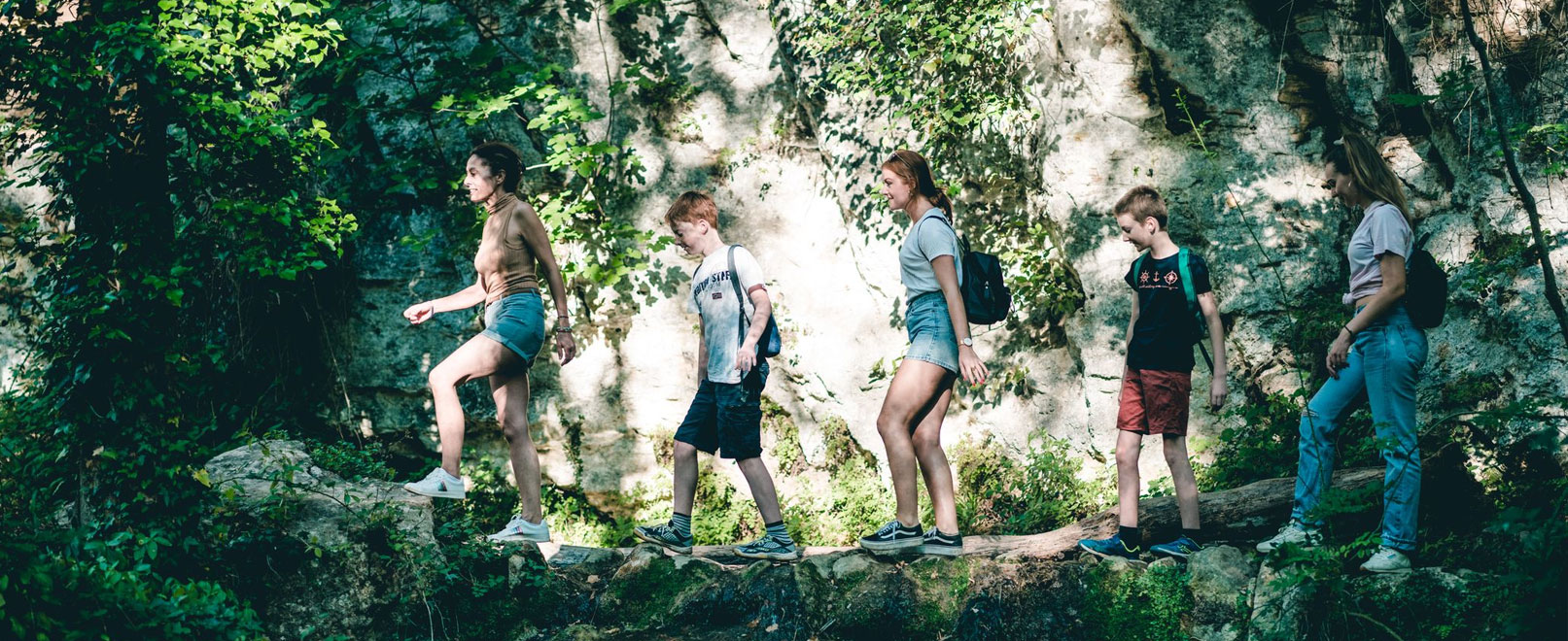
Hiking trails in Provence
With its 3,000 km of signposted pathways, Provence is a real paradise for ramblers. Follow Vaucluse’s hiking trails through the heart of vineyards and lavender fields, surrounded by ochre landscapes and overlooked by charming hilltop villages. Sporty types will relish this opportunity to explore Vaucluse – whether you’re accompanied by a guide or on a family outing!
Sort by
29 results
![CUCURON-VAUGINES - Chemin de pelerinage CUCURON-VAUGINES - Chemin de pelerinage](http://static2.vaucluseenprovence.com/obt_img/410x410/6718925_1.jpg)
Cucuron
CUCURON-VAUGINES - Chemin de pelerinage
Easy 1h30
7,5km 214m
![GR® de Pays: Luberon and the Vaucluse Mountains – Around Grand Luberon GR® de Pays: Luberon and the Vaucluse Mountains – Around Grand Luberon](http://static3.vaucluseenprovence.com/obt_img/410x410/5936723_1.jpg)
Apt
GR® de Pays: Luberon and the Vaucluse Mountains – Around Grand Luberon
Intermediate 7d 81,5km 2985m
![Underground water tanks in Travignon Underground water tanks in Travignon](http://static1.vaucluseenprovence.com/obt_img/410x410/6718979_1.jpg)
Saint-Saturnin-lès-Apt
Underground water tanks in Travignon
Difficult 8h
19,7km 881m
![GR® de Pays Luberon - Monts de Vaucluse : Entre Petit et Grand Luberon GR® de Pays Luberon - Monts de Vaucluse : Entre Petit et Grand Luberon](http://static2.vaucluseenprovence.com/obt_img/410x410/6157612_1.jpg)
Apt
GR® de Pays Luberon - Monts de Vaucluse : Entre Petit et Grand Luberon
Intermediate 6d 98,7km 3283m
![Saignon, La Gardette path Saignon, La Gardette path](http://static3.vaucluseenprovence.com/obt_img/410x410/6718975_1.jpg)
Saignon
Saignon, La Gardette path
![The Claparèdes plateau The Claparèdes plateau](http://static1.vaucluseenprovence.com/obt_img/410x410/6718915_1.jpg)
Buoux
The Claparèdes plateau
Easy 3h
5,1km 0m
![GR® 6: Viens to Mérindol GR® 6: Viens to Mérindol](http://static2.vaucluseenprovence.com/obt_img/410x410/5922741_1.jpg)
Viens
GR® 6: Viens to Mérindol
![LA BASTIDONNE - Chapelle Saint-Julien LA BASTIDONNE - Chapelle Saint-Julien](http://static3.vaucluseenprovence.com/obt_img/410x410/6718940_1.jpg)
La Bastidonne
LA BASTIDONNE - Chapelle Saint-Julien
Very easy 1h
3,3km 129m
![Between the scrubland and the Durance river Between the scrubland and the Durance river](http://static1.vaucluseenprovence.com/obt_img/410x410/6718963_1.jpg)
Mérindol
Between the scrubland and the Durance river
Very easy 1h30
4,4km 27m
![Rocks of Baude Rocks of Baude](http://static2.vaucluseenprovence.com/obt_img/410x410/6718952_1.jpg)
Taillades
Rocks of Baude
Difficult 3h
6,0km 298m
![GR® 4: Lagarde d’Apt to Pont Saint-Esprit GR® 4: Lagarde d’Apt to Pont Saint-Esprit](http://static3.vaucluseenprovence.com/obt_img/410x410/5783008_1.jpg)
Lagarde-d'Apt
GR® 4: Lagarde d’Apt to Pont Saint-Esprit
![GR® de Pays Luberon - Monts de Vaucluse : Du Pays d'Apt aux Monts de Vaucluse GR® de Pays Luberon - Monts de Vaucluse : Du Pays d'Apt aux Monts de Vaucluse](http://static1.vaucluseenprovence.com/obt_img/410x410/6065541_1.jpg)
Apt
GR® de Pays Luberon - Monts de Vaucluse : Du Pays d'Apt aux Monts de Vaucluse
Intermediate 6d 82,2km 1791m