
Cheval-Blanc
CHEVAL-BLANC - De La Roquette à la crau des Mayorques
Route
Loop
Difficulty
Difficult
Duration
3h
Distance
9km
Positive elevation gain
321 meters
Negative elevation gain
321 meters
Altitude
Min. 106 meters
Max. 375 meters
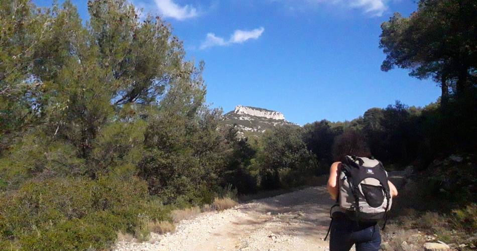
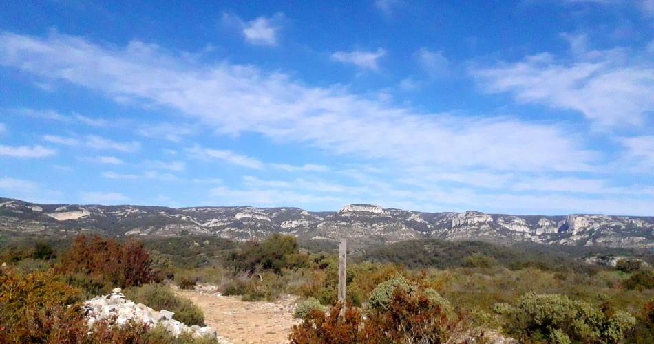
Tourist service in Cheval-Blanc :
Un éventail de paysages plus beaux les uns que les autres...Go to the route
public transportation
Bus Zou !
- From Cavaillon: line 908 / stop La Roquette Take the pedestrian crossing to cross the road. There is a directional post just on the other side of the canal.
road access
To note
A route for when the almond trees are in bloom!
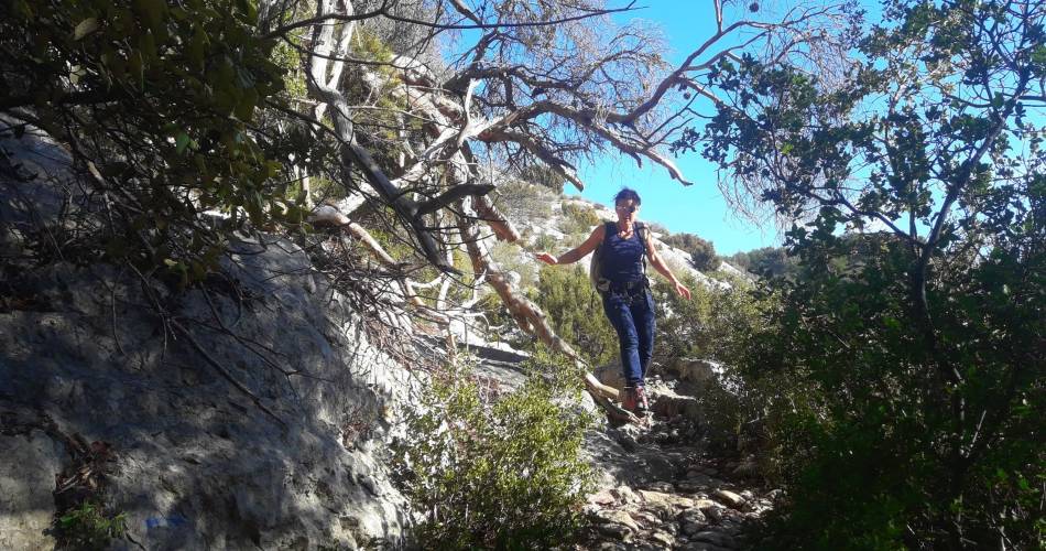
Take care along the rocky paths down from the Maillorques mas, after point 5. Wear good walking shoes.
After point 2 : Combe de la Roque Rousse. Birds of prey. Be discrete.
Grazing area on the Crau des Mayorques, from mid March to mid June.
Don't pet or threaten the guard dogs if you come across one - stop, wait patiently for it to 'suss you out' before continuing on your way, bypassing the dogs as much as possible.
Preferably don't take your dog with you on this hike but if you do, keep it well on its lead.
Preservation zone. Thank you for not taking anything from the site.
 If you want to report a problem on your hike (marking, maintenance, danger...), let us know on Suricate: sentinels.sportsdenature.fr
Respect the regulations preserving protected natural areas – find out about restrictions to accessing the massifs during fire risk periods, from 15 June to 15 September.
Before heading out, check the website
In brief
The contrasting and varied landscapes of the Petit Luberon Panoramic stretches and mountain grasslands, rocky gorges and cliffsForest, scrubland, almond treesFarmhouse and drystone ruinsDownloads
Contact
Parc naturel régional du LuberonTel : View number 04 90 71 32 01
Website : https://www.destinationluberon.com/