
Vitrolles-en-Lubéron
Circuit du plan des Agas
Route
Loop
Difficulty
Easy
Duration
1h03
Distance
6km
Positive elevation gain
218 meters
Negative elevation gain
218 meters
Altitude
Min. 628 meters
Max. 836 meters
- circuit
- variante
- liaison
Departure / Arrival
Vitrolles-en-Luberon / Vitrolles-en-Luberon
Parking
Aire des Mascas car park, Vitrolles-en-Luberon
profil altimétrique
Downloads
Traces GPX
Tourist service in Vitrolles-en-Lubéron :
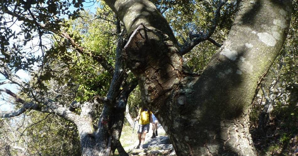
It’s an itinerary with a shady walk in the forest, with little elevation gain, that’s perfect for a family hike. The circuit takes you over lofty ridges with vast outlooks over the Durance valley, and the Monts de Vaucluse, with the Apt agricultural plains.Go to the route
recommended parking
Aire des Mascas car park, Vitrolles-en-Luberon
road access
On the D33 16 km north of Tour d'Aigues.
To note
- Very nice itinerary, that can be done any time of the year.
- Remain vigilant about access restrictions to the massifs during the summer due to fire risks. Find out about them before setting out.
 If you want to report a problem on your hike (marking, maintenance, danger...), let us know on Suricate: sentinels.sportsdenature.fr
Access to the massifs
Respect the regulations preserving protected natural areas – find out about restrictions to accessing the massifs during fire risk periods, from 15 June to 15 September.
Before heading out, check the website
Respect the regulations preserving protected natural areas – find out about restrictions to accessing the massifs during fire risk periods, from 15 June to 15 September.
Before heading out, check the website
In brief
- Shady circuit through the forest.
- Panoramic views from the summits, between Durance and Monts de Vaucluse.
Contact
Fédération Française de Randonnée de VaucluseTel : View number 04 28 70 27 29
Website : https://www.rando84.com/
Guided hikes
This page was produced with the help of theVaucluse Provence Attractivité