
Bonnieux
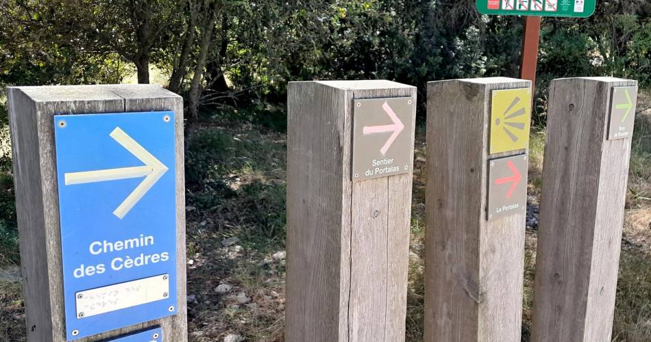
The Portalas trail
Route
Loop
Difficulty
Very easy
Duration
2h
Distance
3km
Positive elevation gain
82 meters
Negative elevation gain
82 meters
Altitude
Min. 628 meters
Max. 708 meters
Tourist service in Bonnieux :
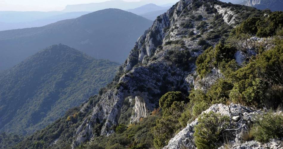
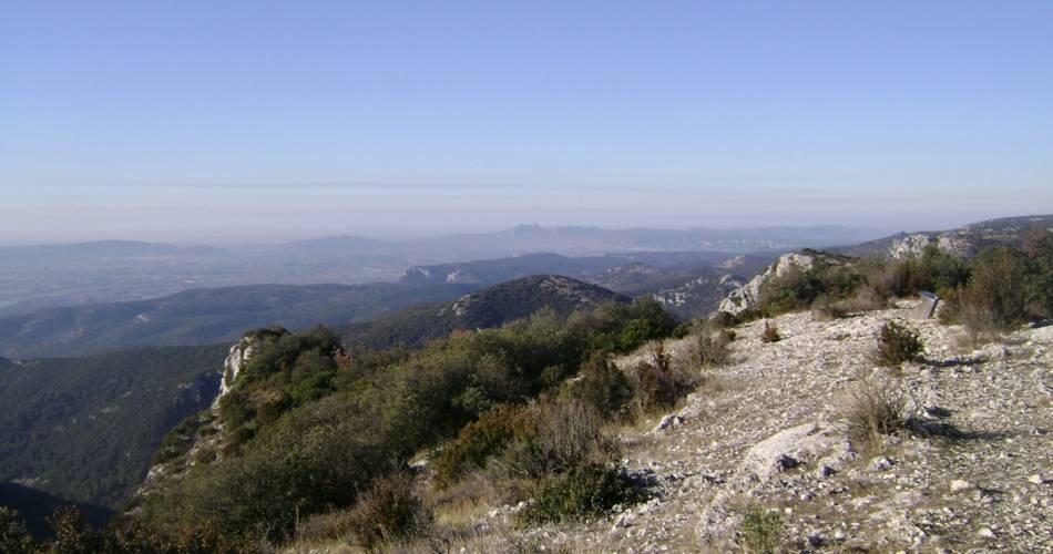
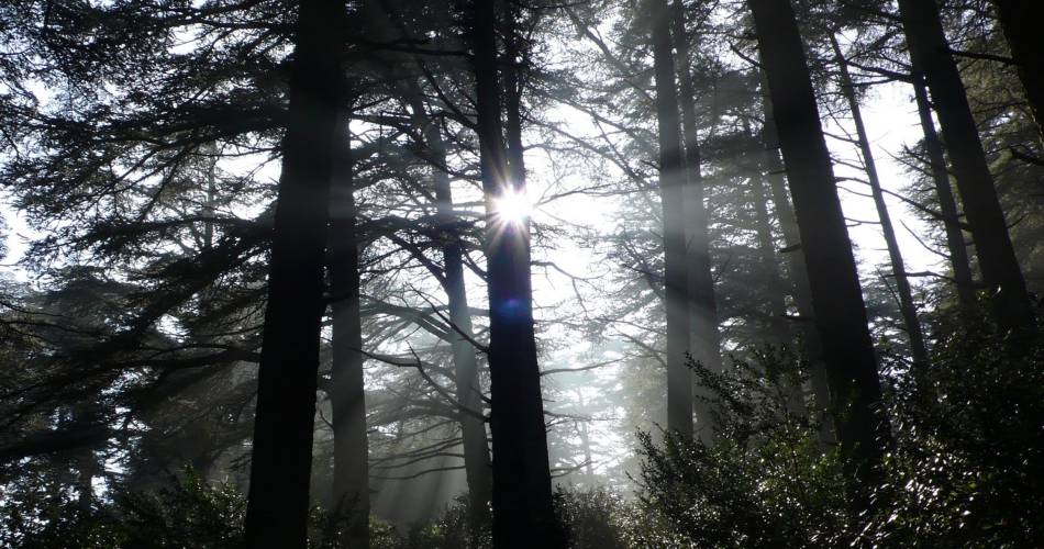
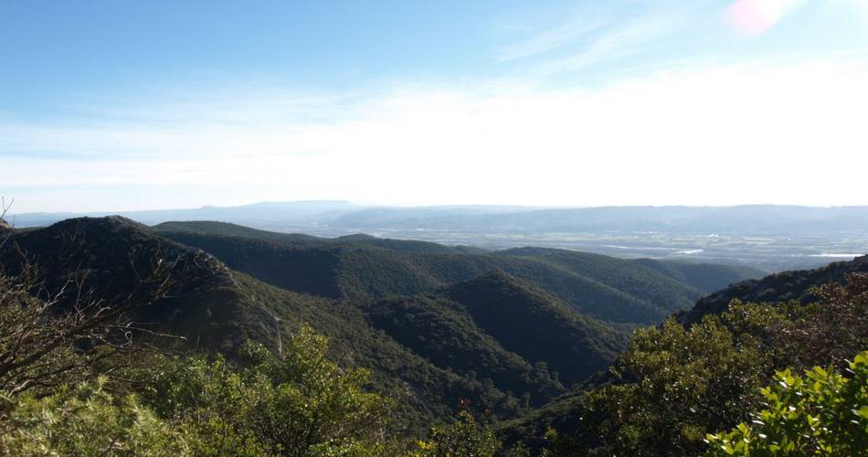
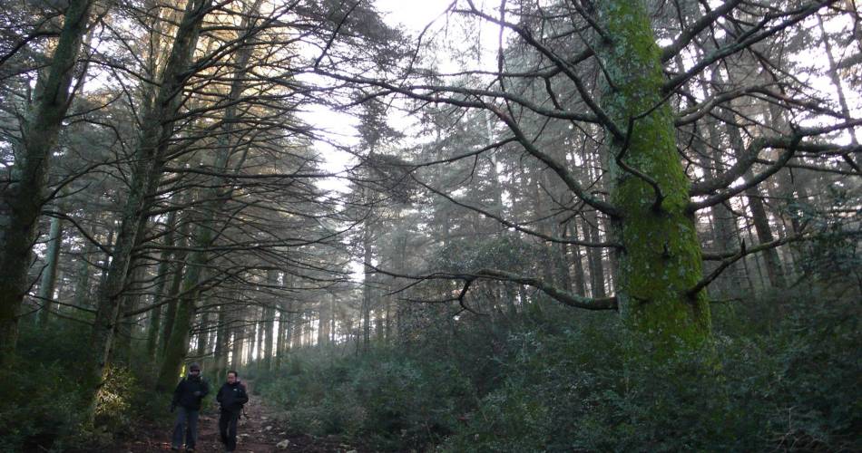
A magical immersion in the cedar forest, wandering the heart ofthe scrubland and panoramic contemplation on the south of the Luberon ...
« I love the contrast between the cedars which by their size and beauty, releasea sense of calm and peace, and the herbaceous vegetation in open areas of the summit’s plateau so dry and windy. The view from Portalas allows you to see the south side of the Petit Luberon and its valley bottoms of holm oaks. Lastly, the nearby rocky areas are home to several species of raptors. Let's just say lots of excitement! ». Laurent Michel, botanist at the RNP of Luberon.
Go to the route
public transportation
No direct access.
The closest you can get to the site is about 7 km away.
From Cavaillon train station, take the line 909 bus - stop: Claparèdes
The closest you can get to the site is about 7 km away.
From Cavaillon train station, take the line 909 bus - stop: Claparèdes
recommended parking
Parking des Cèdres du Petit Luberon
road access
From Avignon, take the D901 towards Bonnieux.From Carpentras, take the D938 then the D900 towards Apt, then follow signs for Bonnieux.From Apt, head towards Buoux, then follow the D232. Pass Bonnieux and head towards the Cedar Forest.
To note
- Choose to do this hike in the autumn, winter and spring.
- Before leaving find out about the risk of wildfires. This itinerary is only open to the public in the afternoon in the event of a “very severe” risk of wildfires (closed if there is an “exceptional” risk).
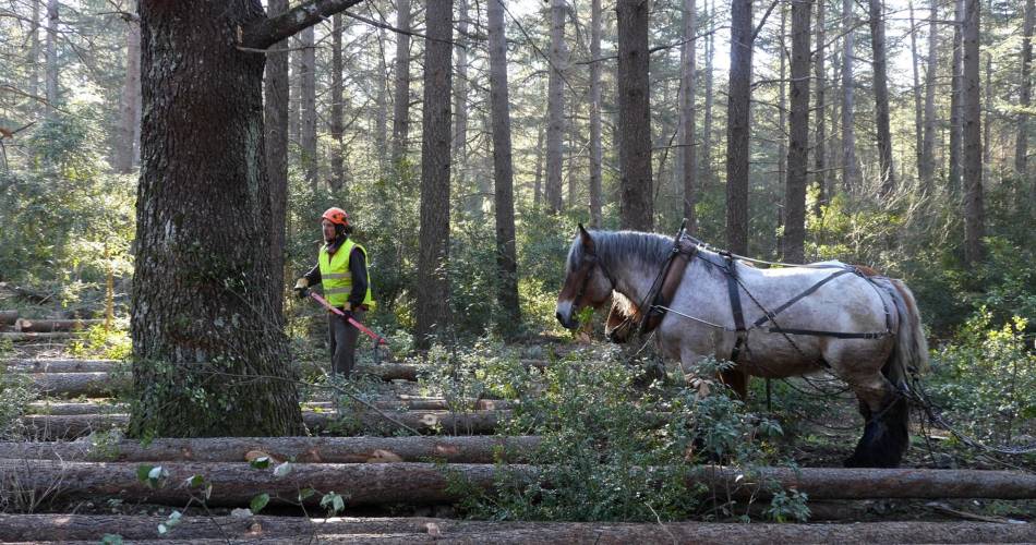
- Pastoral zone. Herds and flocks of animals in meadows, as well as sheepdogs. Remain calm.
- Rocky passages.
 If you want to report a problem on your hike (marking, maintenance, danger...), let us know on Suricate: sentinels.sportsdenature.fr
Access to the massifs
Respect the regulations preserving protected natural areas – find out about restrictions to accessing the massifs during fire risk periods, from 15 June to 15 September.
Before heading out, check the website
Respect the regulations preserving protected natural areas – find out about restrictions to accessing the massifs during fire risk periods, from 15 June to 15 September.
Before heading out, check the website
In brief
- A hike at the heart of the “magical” Cedar forest, alternating between shade, freshness, and dry and windy garrigue spaces.
- Wide, open views of South Luberon.
- Viewing point on the floors of small wooded valleys, and the birds of prey living on the nearby rocks
Downloads
Contact
Parc naturel régional du LuberonTel : View number 04 90 74 03 18
Website : http://www.luberon-apt.fr/
Guided hikes
This page was produced with the help of theParc Naturel Régional du Luberon