20°
19°
![Hiking in Provence © O’Brien](https://www.provenceguide.co.uk/app/uploads/2021/05/rando-OBrien.jpg)
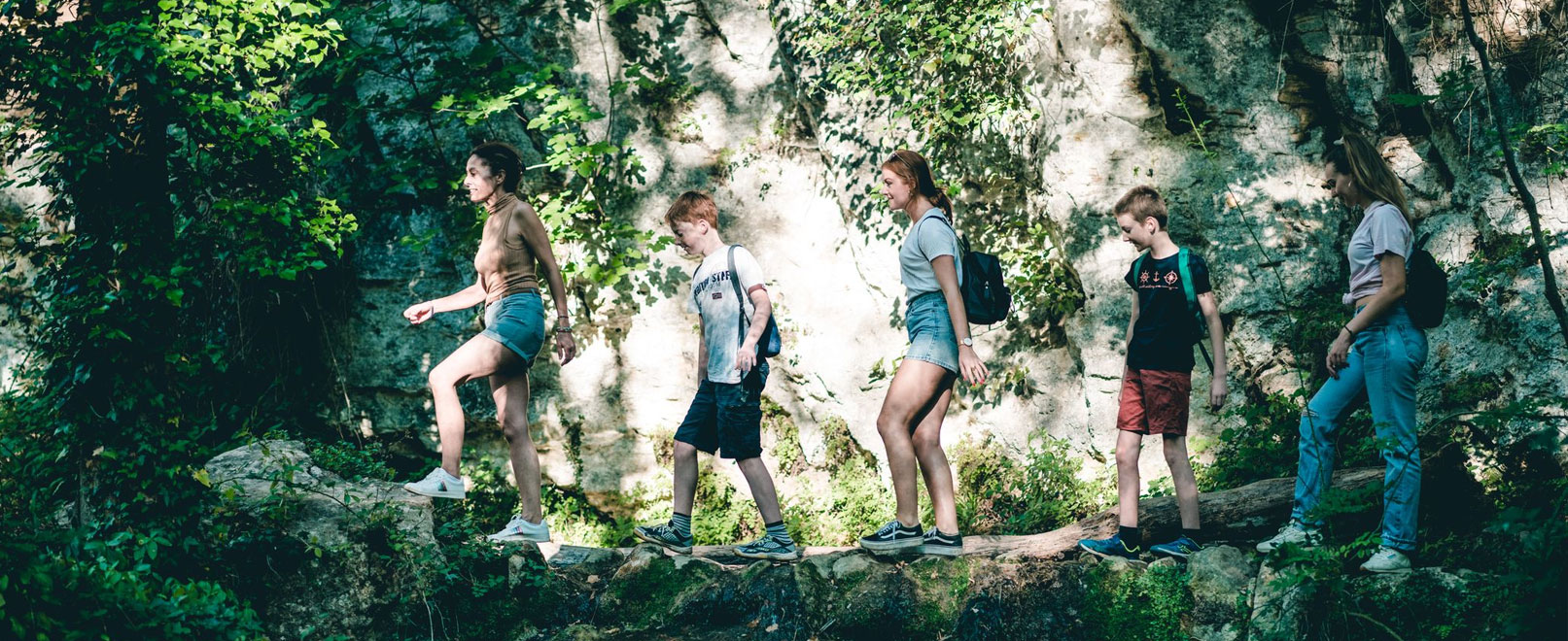
Hiking trails in Provence
With its 3,000 km of signposted pathways, Provence is a real paradise for ramblers. Follow Vaucluse’s hiking trails through the heart of vineyards and lavender fields, surrounded by ochre landscapes and overlooked by charming hilltop villages. Sporty types will relish this opportunity to explore Vaucluse – whether you’re accompanied by a guide or on a family outing!
Sort by
29 results
![Rocks of Baude Rocks of Baude](http://static2.vaucluseenprovence.com/obt_img/410x410/6718952_1.jpg)
Taillades
Rocks of Baude
Difficult 3h
6,0km 298m
![The Claparèdes plateau The Claparèdes plateau](http://static3.vaucluseenprovence.com/obt_img/410x410/6718915_1.jpg)
Buoux
The Claparèdes plateau
Easy 3h
5,1km 0m
![Underground water tanks in Travignon Underground water tanks in Travignon](http://static1.vaucluseenprovence.com/obt_img/410x410/6718979_1.jpg)
Saint-Saturnin-lès-Apt
Underground water tanks in Travignon
Difficult 8h
19,7km 881m
![GR® de Pays: Luberon and the Vaucluse Mountains – The Ochres of Luberon GR® de Pays: Luberon and the Vaucluse Mountains – The Ochres of Luberon](http://static2.vaucluseenprovence.com/obt_img/410x410/5936874_1.jpg)
Apt
GR® de Pays: Luberon and the Vaucluse Mountains – The Ochres of Luberon
Intermediate 5d 68,5km 1681m
![Circuit du plan des Agas Circuit du plan des Agas](http://static3.vaucluseenprovence.com/obt_img/410x410/6158490_1.jpg)
Vitrolles-en-Lubéron
Circuit du plan des Agas
Easy 1h30
5,9km 218m
![GR® de Pays: Luberon and the Vaucluse Mountains – Around the Claparèdes Plateau GR® de Pays: Luberon and the Vaucluse Mountains – Around the Claparèdes Plateau](http://static1.vaucluseenprovence.com/obt_img/410x410/5931859_1.jpg)
Apt
GR® de Pays: Luberon and the Vaucluse Mountains – Around the Claparèdes Plateau
Intermediate 4d 50,0km 1746m
![GR® de Pays Luberon - Monts de Vaucluse : Du Pays d'Apt aux Monts de Vaucluse GR® de Pays Luberon - Monts de Vaucluse : Du Pays d'Apt aux Monts de Vaucluse](http://static2.vaucluseenprovence.com/obt_img/410x410/6065541_1.jpg)
Apt
GR® de Pays Luberon - Monts de Vaucluse : Du Pays d'Apt aux Monts de Vaucluse
Intermediate 6d 82,2km 1791m
![GR® de Pays Luberon - Monts de Vaucluse : Entre Petit et Grand Luberon GR® de Pays Luberon - Monts de Vaucluse : Entre Petit et Grand Luberon](http://static3.vaucluseenprovence.com/obt_img/410x410/6157612_1.jpg)
Apt
GR® de Pays Luberon - Monts de Vaucluse : Entre Petit et Grand Luberon
Intermediate 6d 98,7km 3283m
![GOULT - Tour de Mange-Tian GOULT - Tour de Mange-Tian](http://static1.vaucluseenprovence.com/obt_img/410x410/6718937_1.jpg)
Goult
GOULT - Tour de Mange-Tian
Easy 1h30
3,8km 0m
![Mourre de Cairas Mourre de Cairas](http://static2.vaucluseenprovence.com/obt_img/410x410/6718968_1.jpg)
Oppède
Mourre de Cairas
Difficult 4h
11,2km 670m
![GR® 653D: From Castellet-en-Luberon to Cavaillon GR® 653D: From Castellet-en-Luberon to Cavaillon](http://static3.vaucluseenprovence.com/obt_img/410x410/5922889_1.jpg)
Castellet-en-luberon
GR® 653D: From Castellet-en-Luberon to Cavaillon
Intermediate 5d 56,3km 601m
![Saignon, La Gardette path Saignon, La Gardette path](http://static1.vaucluseenprovence.com/obt_img/410x410/6718975_1.jpg)
Saignon