
Apt
GR® de Pays Luberon - Monts de Vaucluse : Du Calavon au Colorado provençal
Route
Two way loop
Difficulty
Intermediate
Duration
5d
Distance
65km
Positive elevation gain
1884 meters
Negative elevation gain
1883 meters
Altitude
Min. 221 meters
Max. 750 meters
- circuit
- variante
- liaison
Departure / Arrival
Apt / Apt
Parking
Place Lauze de Perret - Apt
profil altimétrique
Tourist service in Apt :
It’s an itinerary from Calavon valley that is bustling with life and crops and gives you the opportunity to benefit from many points of view from the heights of the Luberon massif and on the Monts de Vaucluse. The tour then goes up as far as the Monts de Vaucluse, all while crossing several charming villages. It enjoys a colourful finale at the heart of ochre landscapes that will be sure to dazzle you!Go to the route
public transportation
By TER train line serving Cavaillon.
By Bus, Zou network
Line 17 Cavaillon – Apt.
Line 15 Avignon – Apt.
Line 16 Apt – Sault.
The Lignes Express Régionales (LER – Express Regional Lines) serving Alpes-de-Haute-Provence with in particular line 25 from Marseille to Forcalquier (Volx – Forcalquier), and line 22 from Avignon to Digne-les-Bains (Céreste – Mane – Forcalquier).
>> More information about the network and times
recommended parking
Place Lauze de Perret - Apt
road access
From the A7 Exit Avignon Sud, towards Apt.
To note
- Follow the GR® signposting (white-red) / GRP® (yellow-red).
- Itinerary shared with GR®653D on the southern part and GR®6 on the northern part.
- Itinerary sometimes shared with the Via Domitia cycling itinerary, remain courteous and vigilant.
- Choose autumn or spring to do this hiking tour.
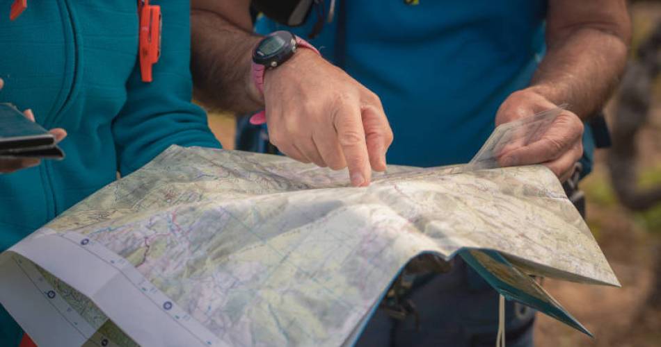
- Prepare for your hike.
- Plan to have good walking shoes, water and clothes that are suitable for the weather.
 If you want to report a problem on your hike (marking, maintenance, danger...), let us know on Suricate: sentinels.sportsdenature.fr
Access to the massifs
Respect the regulations preserving protected natural areas – find out about restrictions to accessing the massifs during fire risk periods, from 15 June to 15 September.
Before heading out, check the website
Respect the regulations preserving protected natural areas – find out about restrictions to accessing the massifs during fire risk periods, from 15 June to 15 September.
Before heading out, check the website
In brief
- Between the Vaucluse Département and Alpes-de-Haute-Provence on the territory of the Luberon Regional Nature Park.
- Covered in 3 to 5 days.
- Described counter-clockwise.
Contact
Fédération Française de Randonnée de VaucluseTel : View number 04 28 70 27 29
Website : https://www.mongr.fr/
Guided hikes
This page was produced with the help of theVaucluse Provence Attractivité