
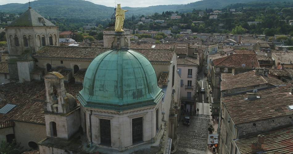
Apt
GR® de Pays: Luberon and the Vaucluse Mountains – Around Grand Luberon
Route
Two way loop
Difficulty
Intermediate
Duration
7d
Distance
78km
Positive elevation gain
0 meters
Negative elevation gain
0 meters
Altitude
Min. 0 meters
Max. 0 meters
- circuit
- variante
- liaison
Departure / Arrival
Apt / Apt
Parking
Place Lauze de Perret
profil altimétrique
Tourist service in Apt :
An 8-day hiking tour doing about 10km a day, or 4 days doing about 20km per day, depending how fit you are. This multi-day hike crosses an iconic part of the Luberon massif to take you deep into its valleys and high up onto its ridges.
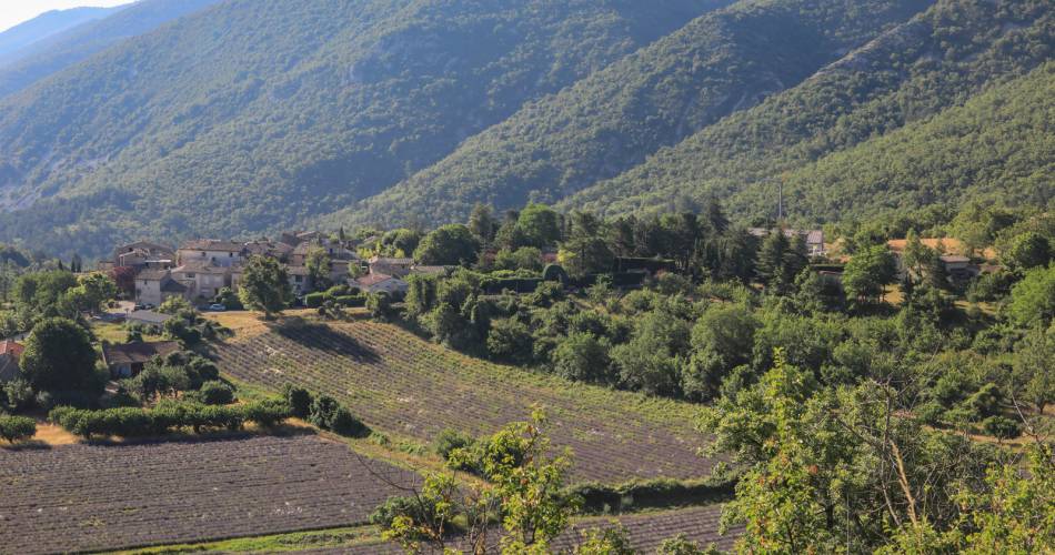
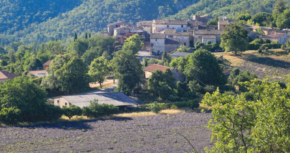
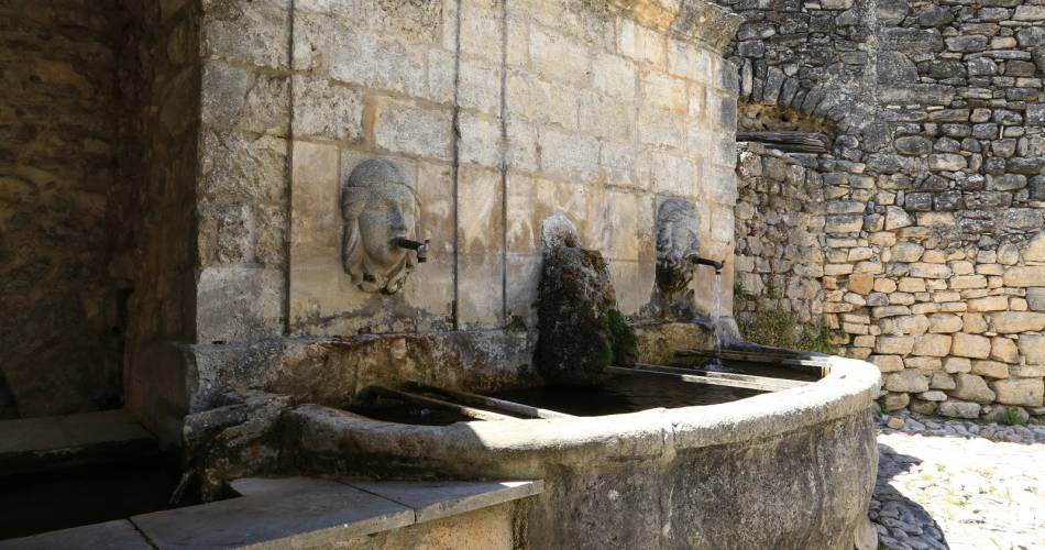
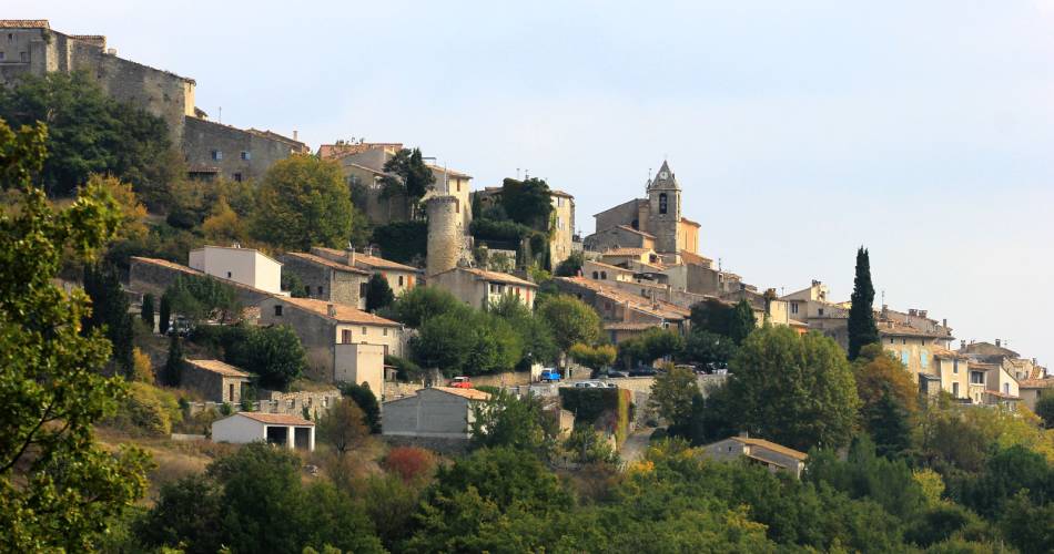
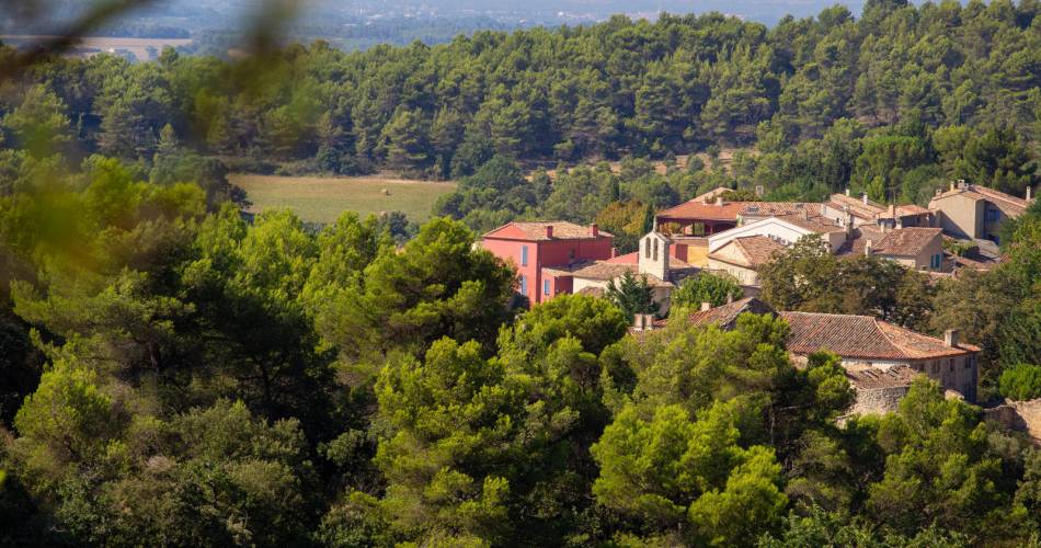
An itinerary takes you through the heart of Grand Luberon, from its foothills and the Calavon valley, to its rounded ridges giving you panoramic views of Mont Ventoux and the Vaucluse mountains to the north, and Pays d’Aigues and the Durance to the south. Geology, heritage, farming: It’s a territory with plenty to discover!
Go to the route
public transportation
TER train station in Cavaillon
Zou bus line 17: Cavaillon - Apt.
Zou bus line 15: Avignon - Apt.
Zou bus line 9: Apt - Cadenet.
Zou bus line 19: Cadenet - Cucuron.
LER train line in Cavaillon through the Alpes-de-Haute-Provence with the line 25 from Marseille to Forcalquier (Volx – Forcalquier), and the line 22 from Avignon to Digne-les-Bains (Céreste – Mane – Forcalquier).
>> More information about the network and times
recommended parking
Place Lauze de Perret
road access
From the A7 Exit 24 Avignon Sud, towards Viens – Apt.
To note
- Follow the GR® (white-red) / GRP® (yellow-red) signposting
- Itinerary shared with the GR®653D over the southern part and the GR®6 over the northern part.
- Itinerary sometimes shared with the Via Domitia cycling itinerary, remain courteous and vigilant
- Choose autumn or spring to do this hiking tour.
- Prepare for your hike.
- Plan to have good walking shoes, water and clothes that are suitable for the weather.
 If you want to report a problem on your hike (marking, maintenance, danger...), let us know on Suricate: sentinels.sportsdenature.fr
Access to the massifs
Respect the regulations preserving protected natural areas – find out about restrictions to accessing the massifs during fire risk periods, from 15 June to 15 September.
Before heading out, check the website
Respect the regulations preserving protected natural areas – find out about restrictions to accessing the massifs during fire risk periods, from 15 June to 15 September.
Before heading out, check the website
In brief
- Between the Vaucluse Département and Alpes-de-Haute-Provence on the territory of the Luberon Regional Nature Park
- Between summits and valleys
- Cover in 3 to 7 days
- Described counter-clockwise
Contact
Fédération Française de Randonnée de VaucluseTel : View number 04 28 70 27 29
Website : https://boutique.ffrandonnee.fr/autour-du-luberon-et-des-monts-de-vaucluse
Guided hikes
This page was produced with the help of theVaucluse Provence Attractivité