
36°
36°
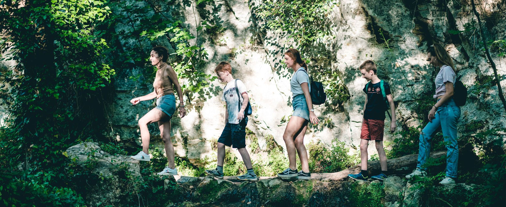
Hiking trails in Provence
With its 3,000 km of signposted pathways, Provence is a real paradise for ramblers. Follow Vaucluse’s hiking trails through the heart of vineyards and lavender fields, surrounded by ochre landscapes and overlooked by charming hilltop villages. Sporty types will relish this opportunity to explore Vaucluse – whether you’re accompanied by a guide or on a family outing!
Filter
Destination
Avignon and around(3)
Luberon(29)
mont Ventoux(27)
Rhone Valley(16)
Apt(6)
Aurel(2)
Beaumes de Venise(1)
Beaumont du Ventoux(1)
Bedoin(2)
Bonnieux(1)
Brantes(2)
Buoux(1)
Cabrières d'Aigues(1)
Cadenet(1)
Cairanne(1)
Caromb(1)
Castellet(1)
Châteauneuf du Pape(4)
Cheval Blanc(1)
Courthézon(2)
Cucuron(1)
Fontaine de Vaucluse(2)
Gordes(2)
Goult(1)
Grillon(1)
L'Isle sur la Sorgue et alentours(6)
Jonquerettes(1)
La Bastidonne(1)
Lagarde d'Apt(1)
Lagnes(1)
Les Taillades(1)
Lioux(1)
Malaucène(3)
Malemort du Comtat(1)
Mérindol(1)
Mondragon(3)
Monieux(1)
Mormoiron(1)
Oppède(1)
Orange(1)
Pernes les Fontaines(2)
Pertuis(1)
Richerenches(1)
Sablet(1)
Saignon(1)
Saint Christol(1)
Saint Léger du Ventoux(1)
Saint Saturnin les Apt(1)
Sault(3)
Saumane(1)
Savoillans(1)
Vaison la Romaine et alentours(8)
Valréas(2)
Velleron(2)
Venasque(1)
Viens(2)
Villars(1)
Visan(1)
Vitrolles(1)
Sort by
79 results

Malaucène
GR® de Pays: Around the Ventoux Massif – Circular hike in the foothills of Mont Ventoux
Intermediate 9d 105,5km 0m

Aurel
AUREL - Découverte de la grande faune du Ventoux
Very easy 1h
1,8km 66m

Saignon
Saignon, La Gardette path

Grillon
R10 A la découverte de la campagne Grillonnaise
Easy 3h
10,1km 88m

Villars
La Bruyère, the sensitive area!
Very easy 0h270
1,9km 69m

Gordes
Trails of the Maquis de Gordes through La Sénancole

Sault
GR® de Pays: Around the Ventoux Massif – Circular hike to the summit of Mont Ventoux
Intermediate 4d 61,6km 2562m

Monieux
MONIEUX - Les gorges de La Nesque
Intermediate 3h
9,2km 471m

Velleron
A04 Balade & Découverte - La Parisienne
Easy 1h30
6,4km 101m

Châteauneuf-du-Pape
Sentier sur l'Islon Saint Luc
 Very easy 1h
2,7km 6m
Very easy 1h
2,7km 6m

Mondragon
R06 Boissouteyrand trail in Mondragon
Intermediate 3h
13,1km 265m

Pernes-les-Fontaines
V04 Circular hike in Pernes-les-Fontaines - 14 km - no 3
Intermediate 4h
13,8km 0m