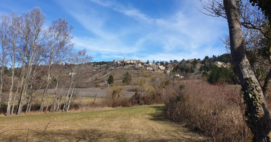
Aurel
AUREL - Les sources du Riou
Route
Loop
Difficulty
Easy
Duration
3h
Distance
2km
Positive elevation gain
45 meters
Negative elevation gain
66 meters
Altitude
Min. 721 meters
Max. 785 meters
- circuit
- variante
- liaison
Departure / Arrival
/
Parking
profil altimétrique
Tourist service in Aurel :
To note
If you want to report a problem on your hike (marking, maintenance, danger...), let us know on Suricate: sentinels.sportsdenature.fr
Access to the massifs
Respect the regulations preserving protected natural areas – find out about restrictions to accessing the massifs during fire risk periods, from 15 June to 15 September.
Before heading out, check the website
Respect the regulations preserving protected natural areas – find out about restrictions to accessing the massifs during fire risk periods, from 15 June to 15 September.
Before heading out, check the website
Guided hikes
This page was produced with the help of theParc naturel régional du Mont-Ventoux