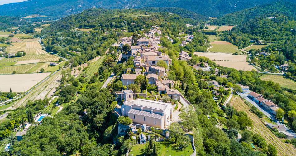
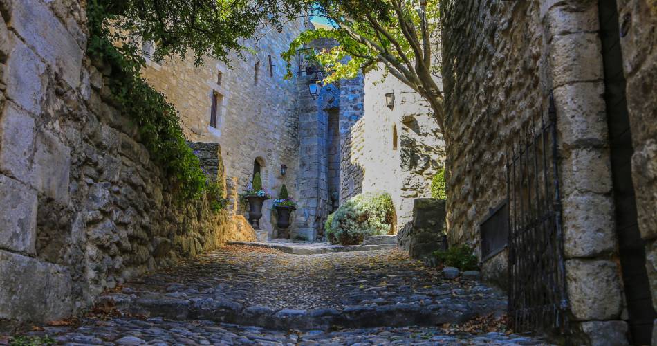
Castellet-en-luberon
GR® 653D: From Castellet-en-Luberon to Cavaillon
Route
Crossing
Difficulty
Intermediate
Duration
5d
Distance
64km
Positive elevation gain
0 meters
Negative elevation gain
0 meters
Altitude
Min. 0 meters
Max. 0 meters
- circuit
- variante
- liaison
Departure / Arrival
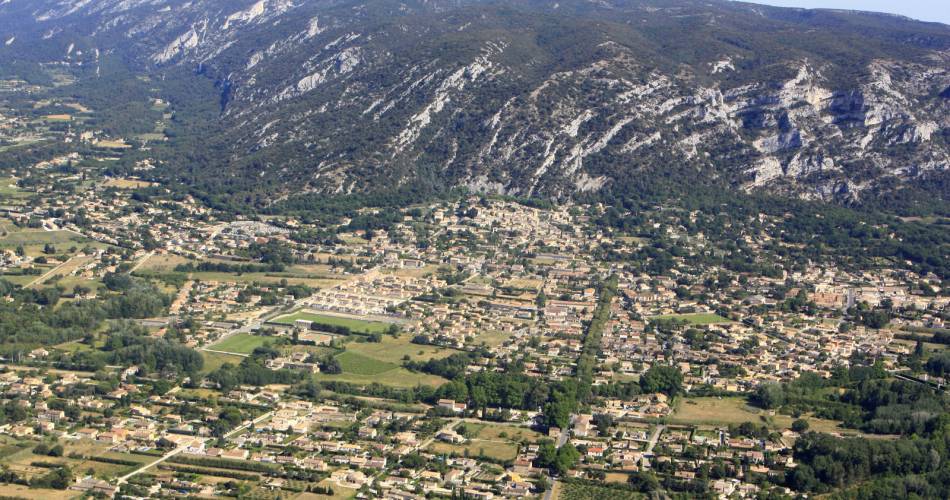
Castellet-en-Luberon / Cavaillon
Parking
Place Lauze de Perret.
profil altimétrique
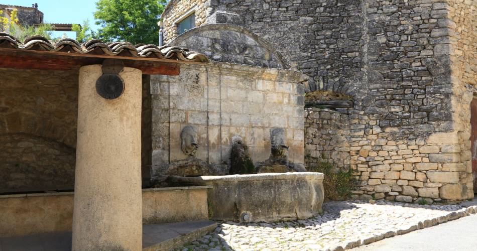
Tourist service in Castellet-en-luberon :
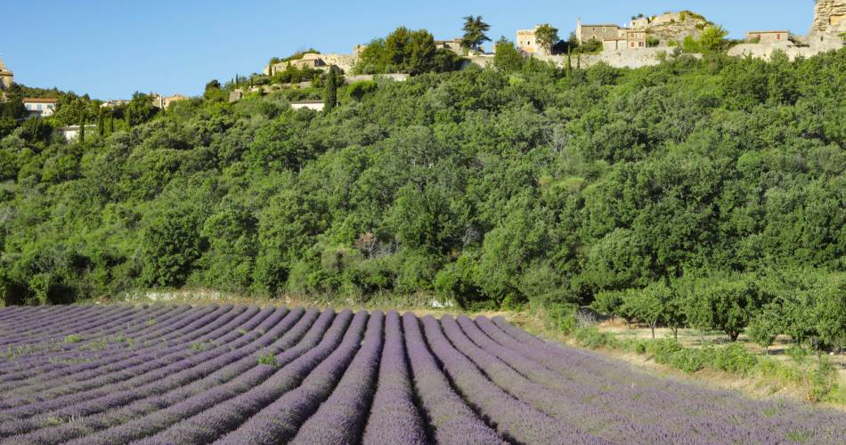
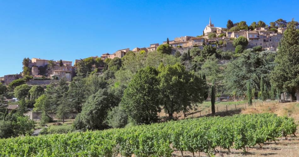
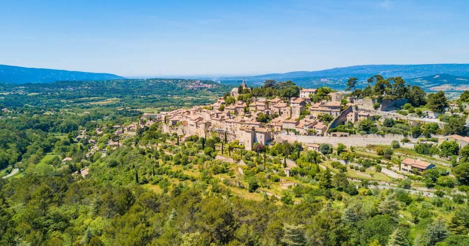
A 5-day or 2-day hiking tour, depending on how athletic you are (approx. 6 miles per day or 12 miles per day). A hike through the Calavon valley, between the Vaucluse mountains and Luberon massif.
The Via Domitia, the first Roman road outside Italy, linked Italy and Spain, via Montgenèvre and Arles. Ten centuries later, the road was brought back into use by pilgrims to the tomb of St James and later St Peter. The present-day path takes you across Provence, revealing a succession of wonders along the way. It is the missing link between the Via Tolosana, from Arles to Santiago de Compostela, and the Via Francigena, to Rome. Walk in the footsteps of the pilgrims, immersed in art and history.
Go to the route
public transportation
Train station in Cavaillon
Zou bus line 15: Avignon - Apt
Zou bus line 17: Cavaillon - Apt
>> More information about the network and times
Zou bus line 15: Avignon - Apt
Zou bus line 17: Cavaillon - Apt
>> More information about the network and times
recommended parking
Place Lauze de Perret.
road access
From the A7 Exit 24 Avignon Sud, towards Forcalquier– Apt.
To note
- Follow the GR® signposting
- Itinerary sometimes shared with the Via Domitia cycling itinerary, remain courteous and vigilant
- Respect the regulations for preserving protected natural areas
- This hike can be done in any season.Prepare for your hike.
- Plan to have good walking shoes, water and clothes that are suitable for the weather.
 If you want to report a problem on your hike (marking, maintenance, danger...), let us know on Suricate: sentinels.sportsdenature.fr
Access to the massifs
Respect the regulations preserving protected natural areas – find out about restrictions to accessing the massifs during fire risk periods, from 15 June to 15 September.
Before heading out, check the website
Respect the regulations preserving protected natural areas – find out about restrictions to accessing the massifs during fire risk periods, from 15 June to 15 September.
Before heading out, check the website
In brief
- Branch of St James’ Way, from Montgenèvre to Arles
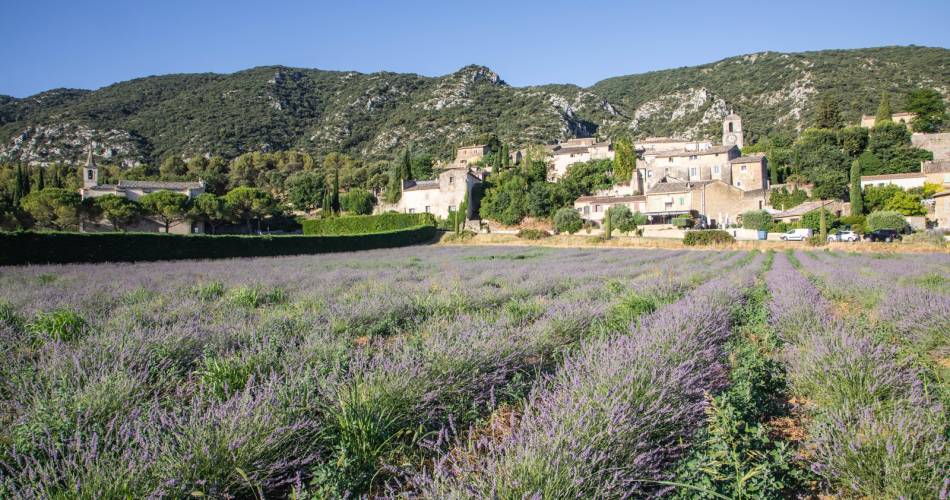
- Wonderful viewing points of the Luberon massif and Monts-de-Vaucluse from Calavon valley
- Covered in 2 to 5 days
- Described from east to west
Contact
Fédération Française de Randonnée de VaucluseTel : View number 04 28 70 27 29
Website : https://boutique.ffrandonnee.fr/topo-guide-sentier-vers-saint-jacques-de-compostelle-montgenevre-arles
Guided hikes
This page was produced with the help of theVaucluse Provence Attractivité