
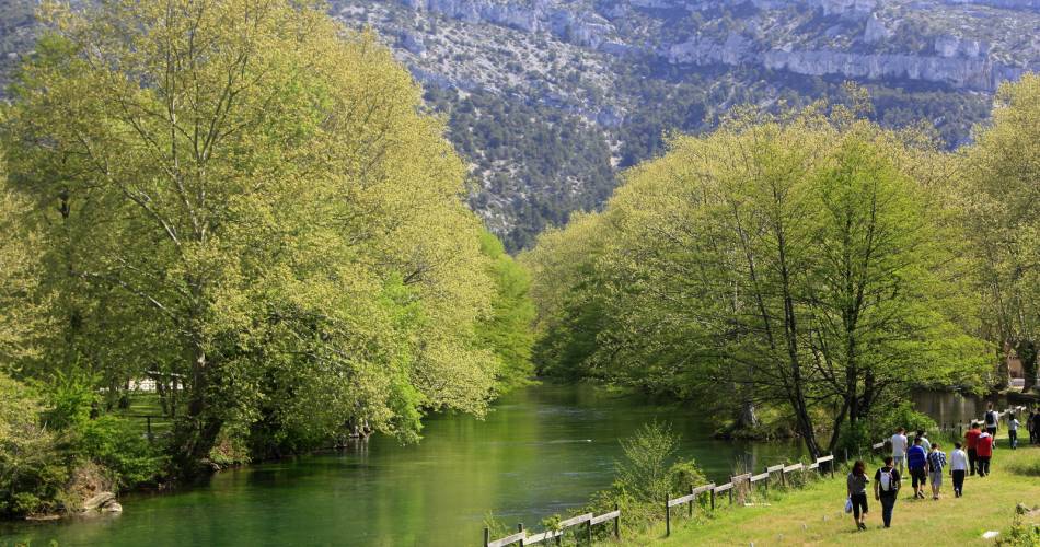
Fontaine-de-Vaucluse
The Mourre Fleuri
Tourist service in Fontaine-de-Vaucluse :
Walk the old paths between Saumane and Vaucluse, giving access to terraces formerly cultivated by local factory workers.Dates and times
All year round.
Duration: 2 h
Languages spoken
- French
Prices
Free of charge.
Contact
The Mourre FleuriD25 ou D24 (payant)
84800 Fontaine-de-Vaucluse
Coordinates
Longitude : 5.127525Latitude : 43.92196
> Getting there by public transport
Nearby
This page was produced with the help of theVaucluse Provence Attractivité