
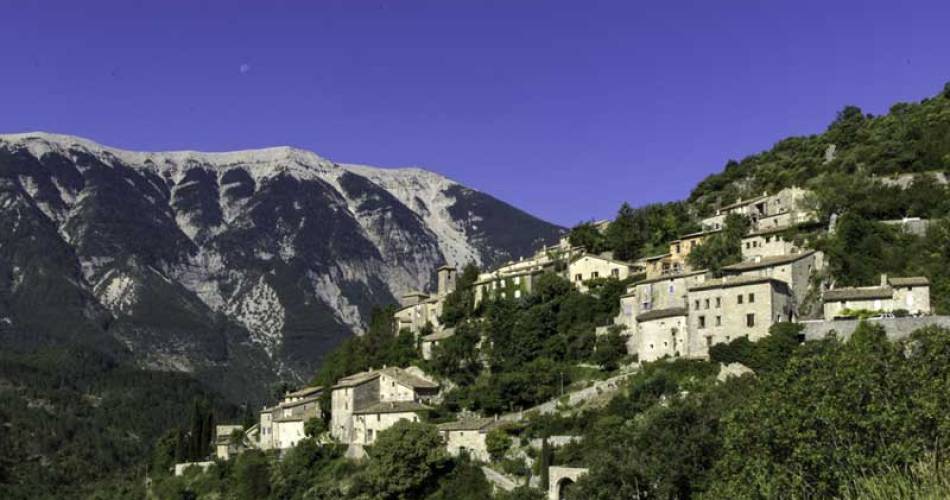
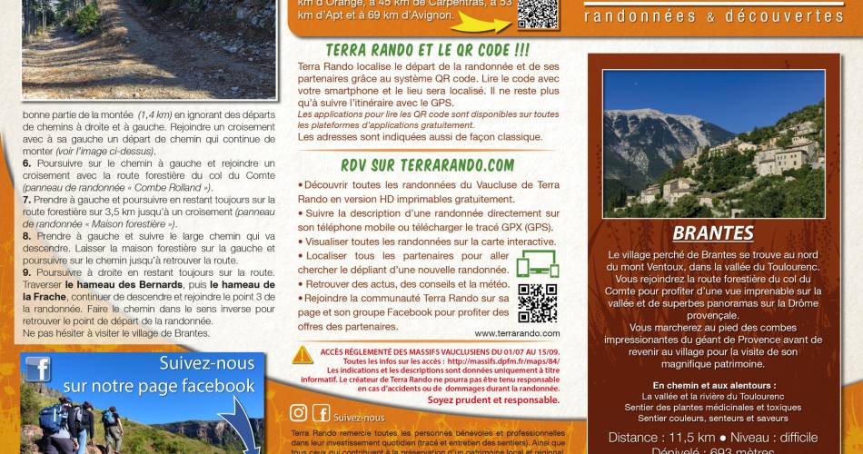
Brantes
The Brantes hike by Terra Rando
V07
Route
Loop
Difficulty
Difficult
Duration
3h03
Distance
12km
Positive elevation gain
526 meters
Negative elevation gain
526 meters
Altitude
Min. 459 meters
Max. 806 meters
- circuit
- variante
- liaison
Departure / Arrival
Brantes / Brantes
Parking
School car park in Brantes
profil altimétrique
Traces GPX
Tourist service in Brantes :
The Brantes hilltop village is to the north of Mont Ventoux, in the Le Toulourenc valley.
You join the forest road of the col du Comte to enjoy a stunning view of the valley and superb panoramic views of Drôme in Provence. You’ll walk at the foot of the impressive valleys of the Provence giant before coming back to the village to visit its wonderful heritage.
Distance: 11.5 km / Level: Difficult / Elevation gain: + 693 metres / IGN map ref: 3140ET.
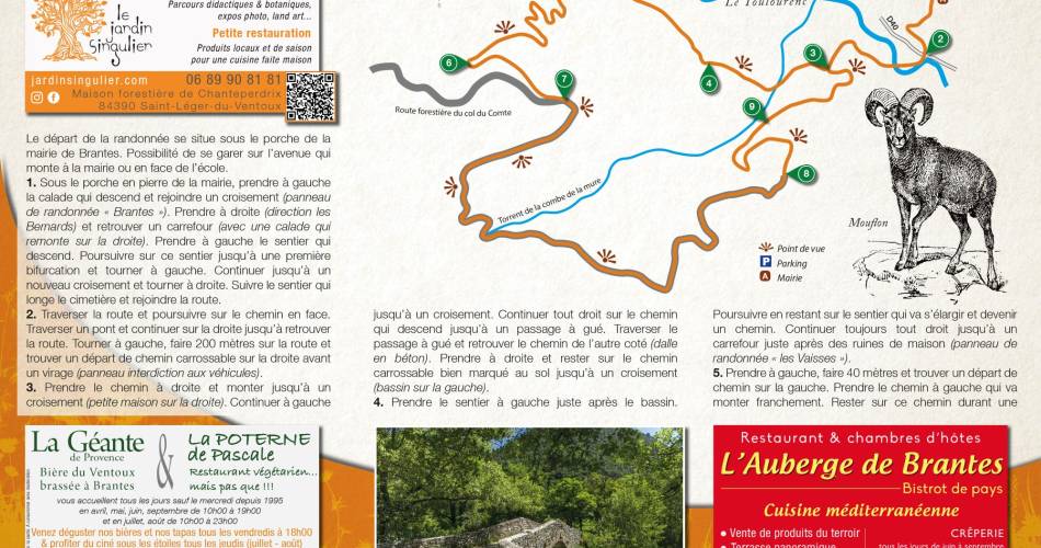
To see along and around the hike:
> The Le Toulourenc valley and river
> The botanical path in Brantes: medicinal and toxic plants at our feet...
> The botanical path in Brantes: colours, smells and flavours...
(The Brantes botanical paths can be downloaded with the authorisation of their creator: the Toulourenc Horizons association).
You can get the hike information sheet for free from the Pays Vaison Ventoux Tourist Office or download it from the website: terrarando.com
On the website you can also get advice for a successful hike in Vaucluse and all the practical information from Terra Rando partners. Great hikes and discoveries...
Distance: 11.5 km / Level: Difficult / Elevation gain: + 693 metres / IGN map ref: 3140ET.
To see along and around the hike:
> The Le Toulourenc valley and river
> The botanical path in Brantes: medicinal and toxic plants at our feet...
> The botanical path in Brantes: colours, smells and flavours...
(The Brantes botanical paths can be downloaded with the authorisation of their creator: the Toulourenc Horizons association).
You can get the hike information sheet for free from the Pays Vaison Ventoux Tourist Office or download it from the website: terrarando.com
On the website you can also get advice for a successful hike in Vaucluse and all the practical information from Terra Rando partners. Great hikes and discoveries...
Go to the route
public transportation
recommended parking
School car park in Brantes
To note
Bring good walking shoes
 If you want to report a problem on your hike (marking, maintenance, danger...), let us know on Suricate: sentinels.sportsdenature.fr
Access to the massifs
Respect the regulations preserving protected natural areas – find out about restrictions to accessing the massifs during fire risk periods, from 15 June to 15 September.
Before heading out, check the website
Respect the regulations preserving protected natural areas – find out about restrictions to accessing the massifs during fire risk periods, from 15 June to 15 September.
Before heading out, check the website
In brief
- Ventoux Mountains
- Le Toulourenc valley
- Botanical path
Contact
Thierry Bourrioux - Terra RandoE-Mail : terrarando@gmail.com
Website : https://terrarando.com/les-randonnees-du-vaucluse/randonnees-pedestres-mont-ventoux/la-randonnee-de-brantes
Guided hikes
This page was produced with the help of theOffice de tourisme du Pays de Vaison Ventoux en Provence