
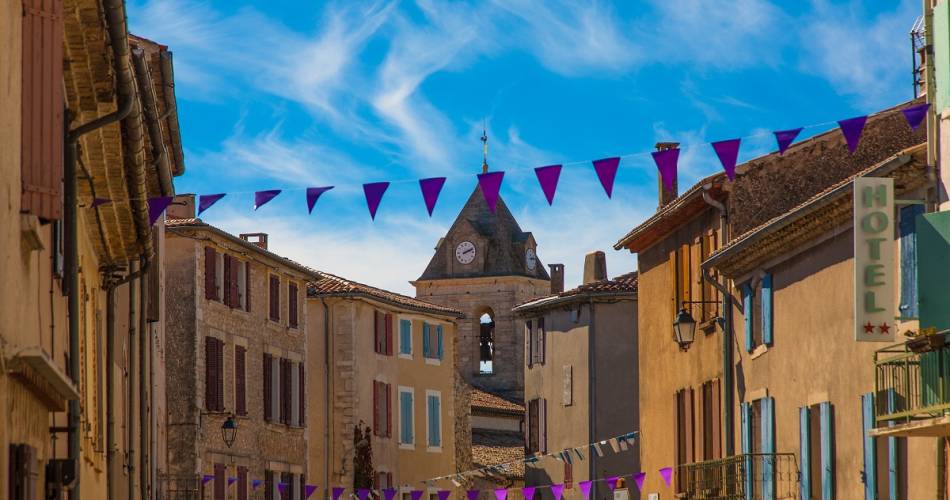
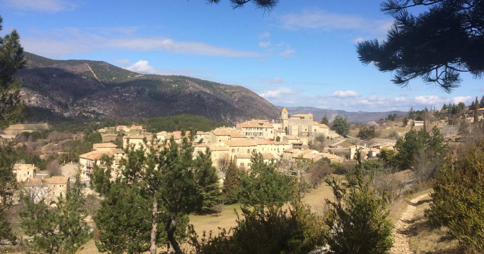
Sault
V03 - The three villages: Sault, Aurel and St Trinit
V03
Route
Loop
Difficulty
Intermediate
Duration
4h
Distance
16km
Positive elevation gain
289 meters
Negative elevation gain
292 meters
Altitude
Min. 752 meters
Max. 856 meters
- circuit
- variante
- liaison
Departure / Arrival
Sault - Parking des Aires / Sault - Parking des Aires
Parking
Parking place des Aires - Sault
profil altimétrique
Tourist service in Sault :
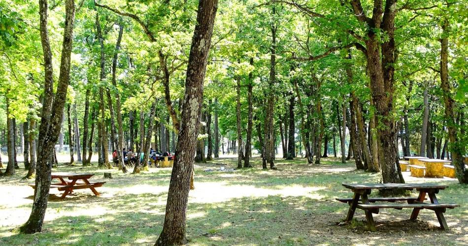
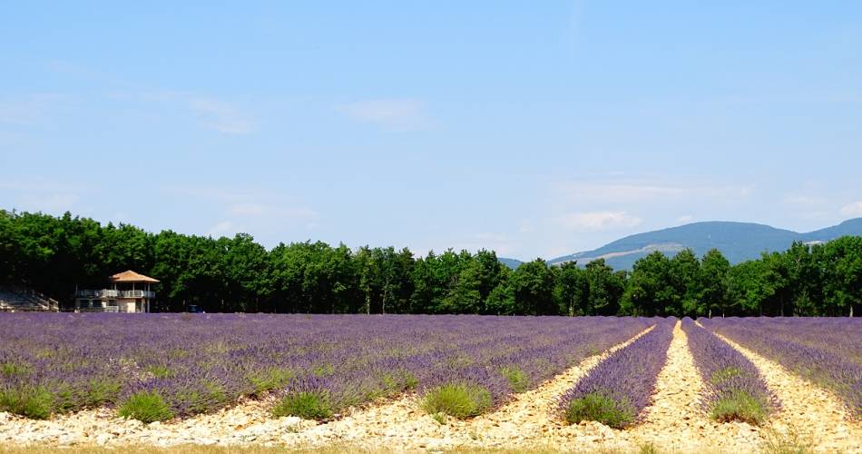
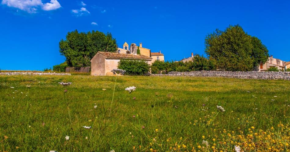
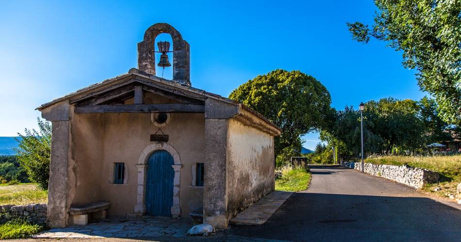
This walk alternates between woods and open country, linking three villages on the Albion plateau. Superb views of Mont Ventoux and the lavender fields.Go to the route
public transportation
Nearest SNCF station: Carpentras (fr)
Bus Zou !
- From Carpentras: line 912 / Place Crédit Agricole stop
- From Apt: line 916 / Place des Aires stop
Bus Zou !
- From Carpentras: line 912 / Place Crédit Agricole stop
- From Apt: line 916 / Place des Aires stop
recommended parking
Parking place des Aires - Sault
road access
Towards Sault, Gorges de La Nesque from Carpentras.
To note
Follow the yellow signposting, then red and white.
 If you want to report a problem on your hike (marking, maintenance, danger...), let us know on Suricate: sentinels.sportsdenature.fr
Access to the massifs
Respect the regulations preserving protected natural areas – find out about restrictions to accessing the massifs during fire risk periods, from 15 June to 15 September.
Before heading out, check the website
Respect the regulations preserving protected natural areas – find out about restrictions to accessing the massifs during fire risk periods, from 15 June to 15 September.
Before heading out, check the website
In brief
- A circuit on the plateau de Sault, to discover 3 villages: Sault, Aurel, Saint Trinit.
- This is a hike with low elevation alternating between undergrowth and farming landscapes.
- Open views of the lavender (in July) and einkorn fields, and of the top of Mont Ventoux.
Downloads
Contact
Office de tourisme Intercommunal Ventoux Sud - BIT de SaultTel : View number 04 90 64 01 21
E-Mail : oti@ventoux-sud.com
Website : https://www.ventouxprovence.fr
Guided hikes
This page was produced with the help of theOffice de Tourisme Intercommunal Ventoux Sud