
Sault
TV19 - High Lavender
TV19
Route
Loop
Difficulty
Intermediate
Duration
3h
Distance
21km
Positive elevation gain
715 meters
Negative elevation gain
716 meters
Altitude
Min. 693 meters
Max. 1042 meters
- circuit
- variante
- liaison
Departure / Arrival
/
Parking
profil altimétrique
Downloads
Traces GPX
Tourist service in Sault :
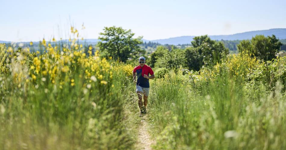
A demanding trail in terms of length and altitude difference, but exceptional for its views from the high plateau of Sault: numerous lavender fields against a backdrop of the Ventoux and Montagne de Lure.
Magnificent views of Mont Ventoux from the St-Jean belvedere. Rolling course on white paths. Three beautiful climbs and a fairly technical descent on the 21km program! Take this route in season when the lavender is in bloom, it offers amazing views with Mont Ventoux in the background. Running in the middle of such a landscape is magical!
To note
 If you want to report a problem on your hike (marking, maintenance, danger...), let us know on Suricate: sentinels.sportsdenature.fr
Access to the massifs
Respect the regulations preserving protected natural areas – find out about restrictions to accessing the massifs during fire risk periods, from 15 June to 15 September.
Before heading out, check the website
Respect the regulations preserving protected natural areas – find out about restrictions to accessing the massifs during fire risk periods, from 15 June to 15 September.
Before heading out, check the website
In brief
Downloads
Contact
Parc Naturel Régional du Mont-VentouxTel : View number 04 90 64 01 21
E-Mail : sault@ventoux-sud.com
Website : https://www.jaimecourir.fr/UniversTrail.aspx?univertrail=vaucluse
Guided hikes
This page was produced with the help of theParc naturel régional du Mont-Ventoux