
Bédoin
TV14 - Grand Ventoux
Route
Loop
Difficulty
Difficult
Duration
6h
Distance
30km
Positive elevation gain
0 meters
Negative elevation gain
0 meters
Altitude
Min. 0 meters
Max. 0 meters
- circuit
- variante
- liaison
Departure / Arrival
/
Parking
profil altimétrique
Downloads
Traces GPX
Tourist service in Bédoin :
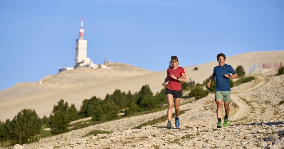
Alternating rocky path and single. Route to the summit. Great view on the 4 sides of the Mont VentouxTo note
 If you want to report a problem on your hike (marking, maintenance, danger...), let us know on Suricate: sentinels.sportsdenature.fr
Access to the massifs
Respect the regulations preserving protected natural areas – find out about restrictions to accessing the massifs during fire risk periods, from 15 June to 15 September.
Before heading out, check the website
Respect the regulations preserving protected natural areas – find out about restrictions to accessing the massifs during fire risk periods, from 15 June to 15 September.
Before heading out, check the website
In brief
Downloads
Contact
Ventoux Provence TourismeTel : View number 04 90 65 63 95
E-Mail : accueil@bedoin.fr
Website : https://www.ventouxprovence.fr
Guided hikes
This page was produced with the help of theOffice de tourisme Ventoux Provence Tourisme