
Venasque
TV09 - Saint Gens
Route
Loop
Difficulty
Difficult
Duration
3h03
Distance
19km
Positive elevation gain
829 meters
Negative elevation gain
829 meters
Altitude
Min. 187 meters
Max. 640 meters
- circuit
- variante
- liaison
Departure / Arrival
Venasque City Stadium car park / Venasque City Stadium car park
Parking
Venasque City Stadium car park
profil altimétrique
Downloads
Traces GPX
Tourist service in Venasque :
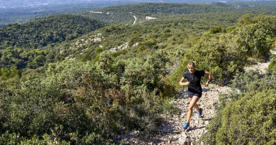
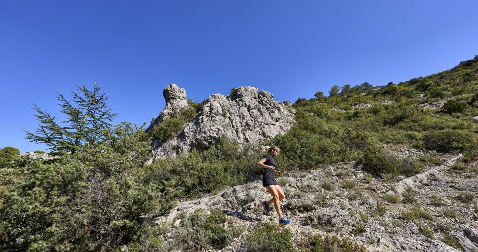
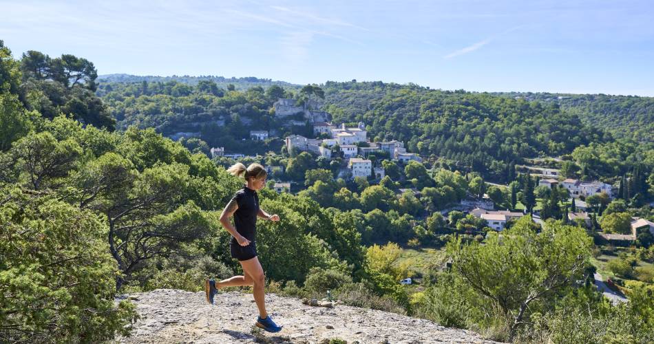
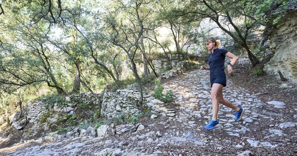
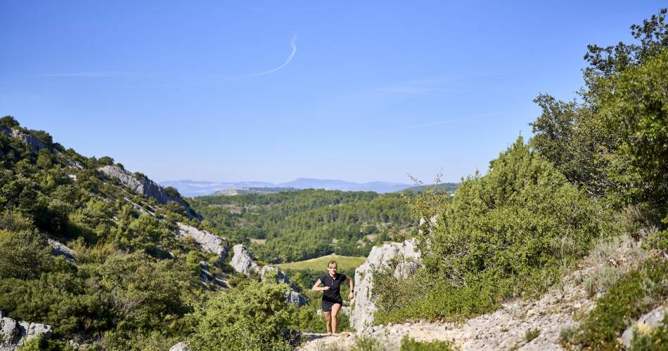
The route alternates between shaded and more open areas, often running beneath olive trees and truffle oaks. Pass the shrine of St Gens before tackling the uphill climb, at the top of which is a magnificent viewpoint overlooking the valley and its surroundings. Descend via the village of Beaucet, following the same trail as that of route n°7.Go to the route
public transportation
Take the TER train to Carpentras, then the TransCove Bus N service to the Bonnefont stop
recommended parking
Venasque City Stadium car park
road access
Departmental road D4 from Carpentras
To note
- Make sure you bring water with you.
- A difficult route but it offers magnificent views and allows you to discover the local culture.
 If you want to report a problem on your hike (marking, maintenance, danger...), let us know on Suricate: sentinels.sportsdenature.fr
Access to the massifs
Respect the regulations preserving protected natural areas – find out about restrictions to accessing the massifs during fire risk periods, from 15 June to 15 September.
Before heading out, check the website
Respect the regulations preserving protected natural areas – find out about restrictions to accessing the massifs during fire risk periods, from 15 June to 15 September.
Before heading out, check the website
In brief
- 18.8km and 780m of positive elevation gain
- Discover olive groves and truffle oaks
- Passing by the hermitage of St Gens
- A breathtaking panorama from the summit of St Gens
Downloads
Contact
Ventoux Provence TourismeTel : View number 04 90 63 00 78
E-Mail : carpentras@ventouxprovence.fr
Website : https://www.jaimecourir.fr/UniversTrail.aspx?univertrail=vaucluse
Guided hikes
This page was produced with the help of theOffice de tourisme Ventoux Provence Tourisme