
Villes-sur-Auzon
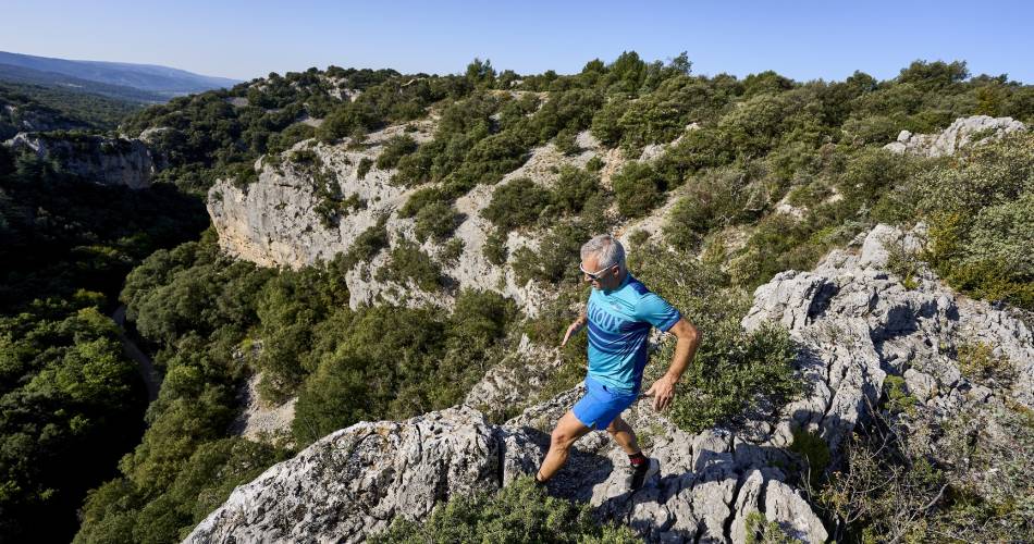
TV02 - La combe de l'Ermitage
TV02
Route
Loop
Difficulty
Easy
Duration
2h
Distance
14km
Positive elevation gain
424 meters
Negative elevation gain
424 meters
Altitude
Min. 295 meters
Max. 714 meters
- circuit
- variante
- liaison
Departure / Arrival
Ville-sur-Auzon - Esplanade Claude Bérard / Ville-sur-Auzon - Esplanade Claude Bérard
Parking
Ville-sur-Auzon - Esplanade Claude Bérard
profil altimétrique
Downloads
Parcours trail Villes sur Auzon
Traces GPX
Tourist service in Villes-sur-Auzon :
14km average circuit starting out from Villes sur Auzon.Go to the route
public transportation
Take the TER train to Carpentras, then the Zou! 912 bus – get off at the Villes-sur-Auzon centre stop
recommended parking
Ville-sur-Auzon - Esplanade Claude Bérard
To note
- There are technical sections on the descent.
- During the hunting season, wear brightly coloured clothing, make yourself visible and observe the signs put up by hunters.
- If you come across a herd, go round it and take the necessary precautions.
 If you want to report a problem on your hike (marking, maintenance, danger...), let us know on Suricate: sentinels.sportsdenature.fr
Access to the massifs
Respect the regulations preserving protected natural areas – find out about restrictions to accessing the massifs during fire risk periods, from 15 June to 15 September.
Before heading out, check the website
Respect the regulations preserving protected natural areas – find out about restrictions to accessing the massifs during fire risk periods, from 15 June to 15 September.
Before heading out, check the website
In brief
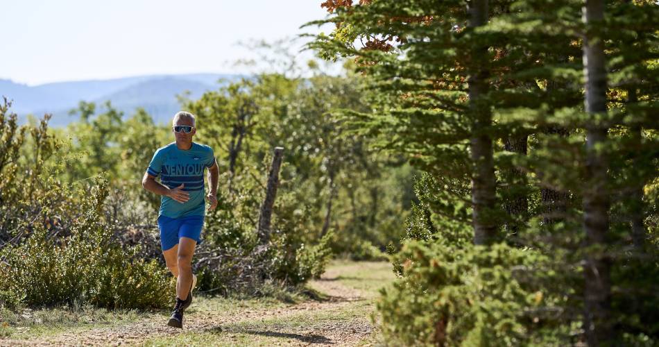
- The first half is uphill, whilst the second half is flatter.
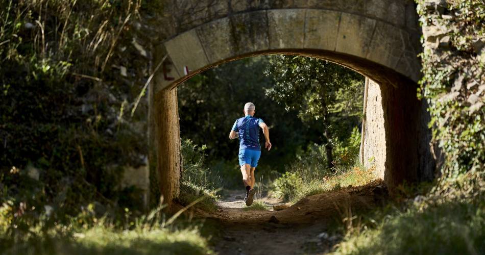
- Single-track trails and forest paths.
- Panoramic views of the villages of Villes-sur-Auzon, Blauvac and Bédoin, and the Dentelles de Montmirail.
Contact
Bureau d'informations touristiques de Villes sur AuzonTel : View number 04 90 63 22 74
Mobile : View number 06 70 17 23 40
E-Mail : contact@parcduventoux.fr
Guided hikes
This page was produced with the help of theOffice de Tourisme Intercommunal Ventoux Sud