
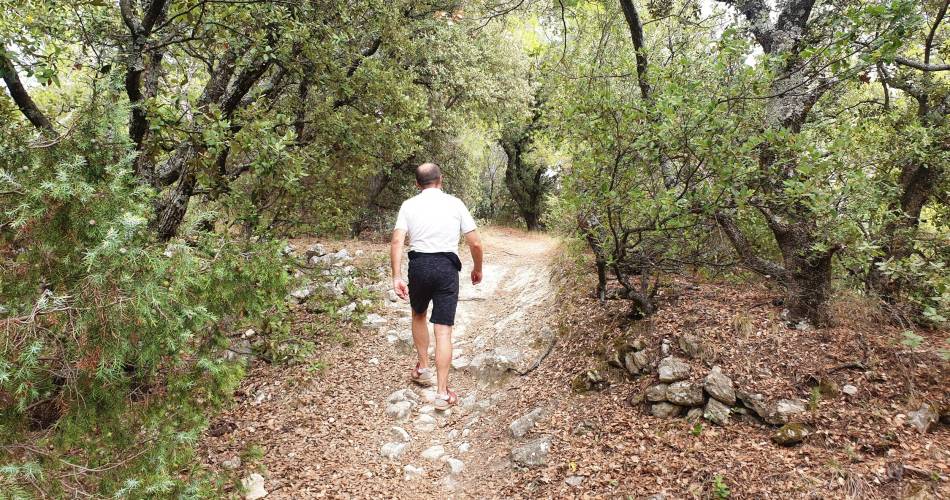
Mormoiron
MORMOIRON – Le gypse
Route
Loop
Difficulty
Easy
Duration
2h
Distance
4km
Positive elevation gain
147 meters
Negative elevation gain
147 meters
Altitude
Min. 240 meters
Max. 342 meters
Tourist service in Mormoiron :
To note
 If you want to report a problem on your hike (marking, maintenance, danger...), let us know on Suricate: sentinels.sportsdenature.fr
Access to the massifs
Respect the regulations preserving protected natural areas – find out about restrictions to accessing the massifs during fire risk periods, from 15 June to 15 September.
Before heading out, check the website
Respect the regulations preserving protected natural areas – find out about restrictions to accessing the massifs during fire risk periods, from 15 June to 15 September.
Before heading out, check the website
In brief
Downloads
Contact
Parc Naturel Régional du Mont-VentouxTel : View number 04 90 40 49 82
Website : http://www.ventouxprovence.fr
Guided hikes
This page was produced with the help of theParc naturel régional du Mont-Ventoux