Malemort-du-Comtat

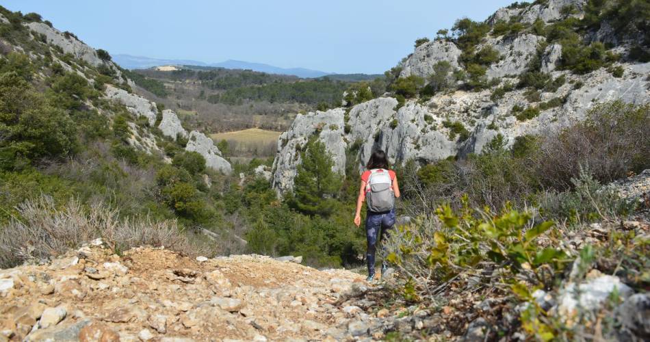
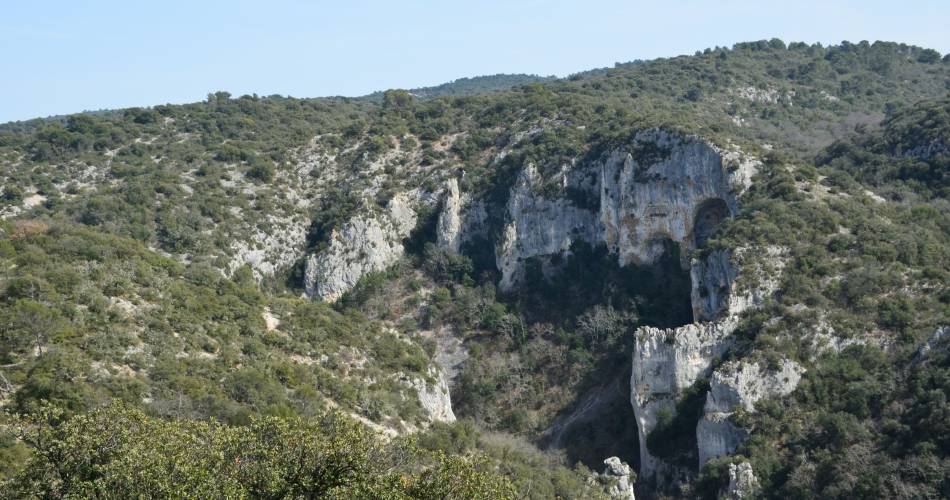
MALEMORT-DU-COMTAT - Combe du diable


Route

Loop

Difficulty

Intermediate

Duration

4h

Distance

13km

Positive elevation gain

456 meters

Negative elevation gain

455 meters

Altitude

Min. 189 meters

Max. 460 meters

  • circuit
  • variante
  • liaison

Departure / Arrival

/

Parking

profil altimétrique

Pygal50050010001000003000300060006000900090001300013000Distance (m)Altitude (m)

Favorite

Tourist service in Malemort-du-Comtat :

VOIR PLUS
See less

To note

If you want to report a problem on your hike (marking, maintenance, danger...), let us know on Suricate: sentinels.sportsdenature.fr
Access to the massifs
Respect the regulations preserving protected natural areas – find out about restrictions to accessing the massifs during fire risk periods, from 15 June to 15 September.
Before heading out, check the website

In brief

Downloads

Contact

Parc Naturel Régional du Mont-Ventoux

Guided hikes

This page was produced with the help of theParc naturel régional du Mont-Ventoux