
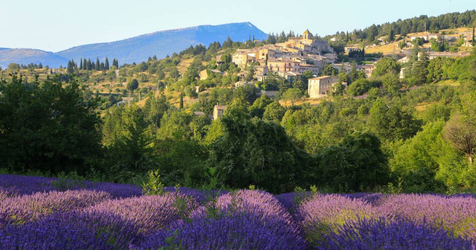
Sault
GR® de Pays: Around the Ventoux Massif – Circular hike to the summit of Mont Ventoux
Route
Two way loop
Difficulty
Intermediate
Duration
4d
Distance
62km
Positive elevation gain
2562 meters
Negative elevation gain
2566 meters
Altitude
Min. 459 meters
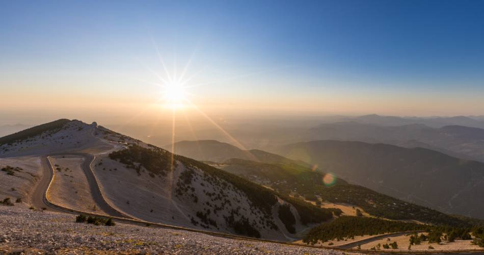
Max. 1887 meters
- circuit
- variante
- liaison
Departure / Arrival
Sault / Sault
Parking
Park place Belle Vue - Place of Aires
profil altimétrique
Tourist service in Sault :
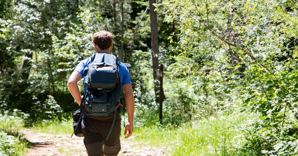
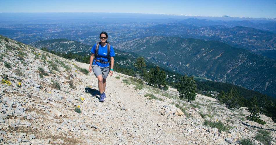
An itinerant hike that can be completed in 6 days with stages of 10 km/day, or in 3 to 4 days for the more athletic (~20 km/day). A GR® de Pays to the summit of this mythical massif, from its Mediterranean foothills to its Alpine climate.
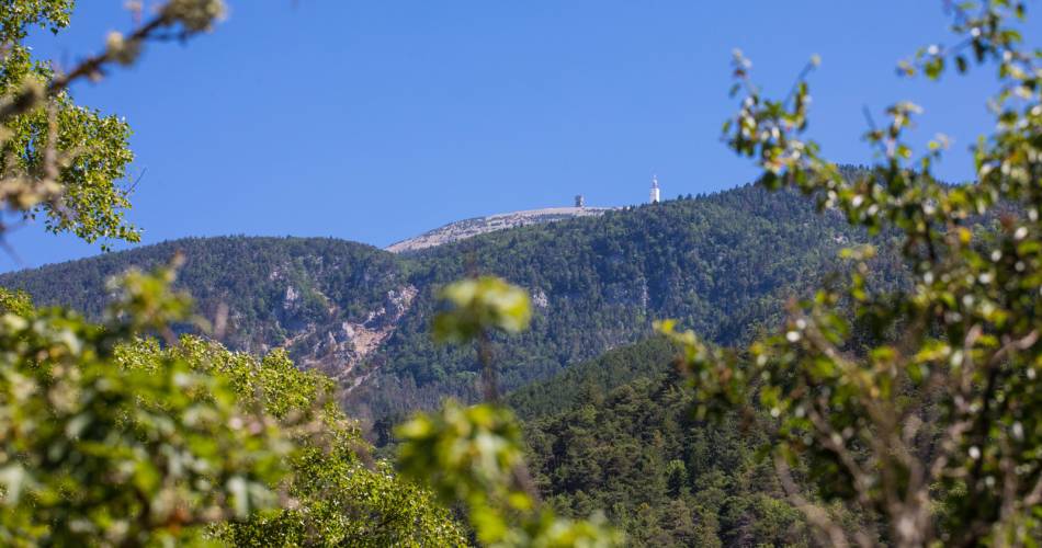
Setting out from Sault, this hike takes you from the steep-sided Toulourenc valley to the summit of Mont Ventoux (1 909 m), between Provence and the Alps. The Plateau d’Albion, a limestone plateau dotted with sinkholes, an aquifer between Mont Ventoux and Montagne de Lure, offers a gentle descent back to Sault. A colourful, aromatic hike!
Go to the route
public transportation
recommended parking
Park place Belle Vue - Place of Aires
road access
From the A7 Exit Bollène or Orange, towards Sault.
To note
 If you want to report a problem on your hike (marking, maintenance, danger...), let us know on Suricate: sentinels.sportsdenature.fr
Access to the massifs
Respect the regulations preserving protected natural areas – find out about restrictions to accessing the massifs during fire risk periods, from 15 June to 15 September.
Before heading out, check the website
Respect the regulations preserving protected natural areas – find out about restrictions to accessing the massifs during fire risk periods, from 15 June to 15 September.
Before heading out, check the website
In brief
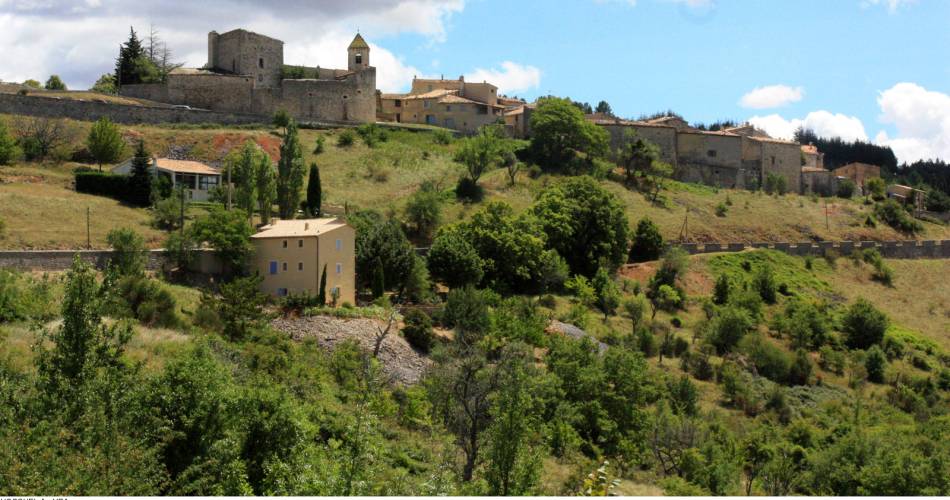
- Within the territory of the Mont-Ventoux Regional Nature Park
- Ventoux Villages (Albion plateau, Toulourenc valley)
- Climbing the Ventoux
- Covered in 2 to 4 days
- Described counter-clockwise
Contact
Fédération Française de Randonnée de VaucluseTel : View number 04 28 70 27 29
Website : https://www.rando84.com/randonner/rando-vaucluse/les-grp/ventoux-sommet/
Guided hikes
This page was produced with the help of theVaucluse Provence Attractivité