
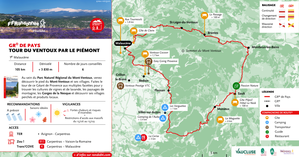
Malaucène
GR® de Pays: Around the Ventoux Massif – Circular hike in the foothills of Mont Ventoux
Route
Two way loop
Difficulty
Intermediate
Duration
9d
Distance
105km
Positive elevation gain
0 meters
Negative elevation gain
0 meters
Altitude
Min. 0 meters
Max. 0 meters
- circuit
- variante
- liaison
Departure / Arrival
Malaucène / Malaucène
Parking
Tourist office - Place de la Mairie
profil altimétrique
Tourist service in Malaucène :
A 9-day or 5-day hiking tour, depending on how athletic you are (approx. 6 miles per day or 12 miles per day).
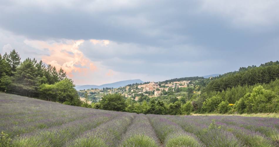
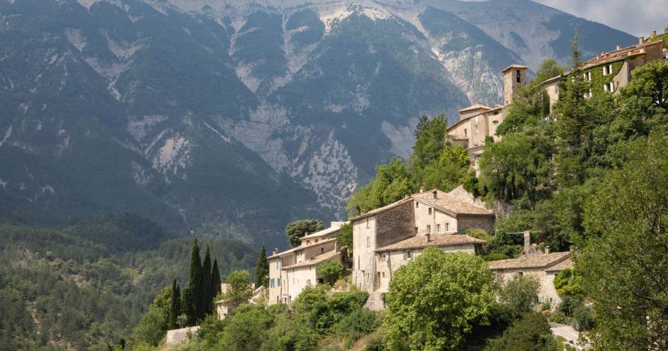
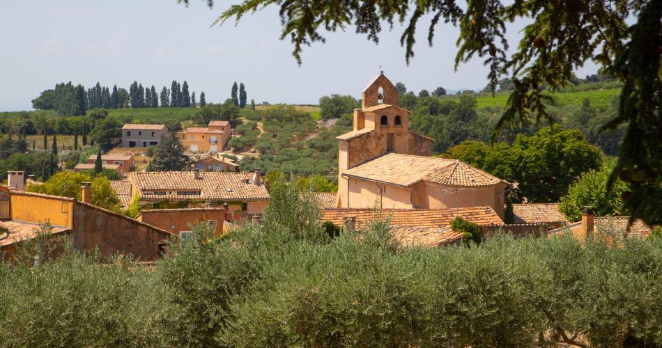
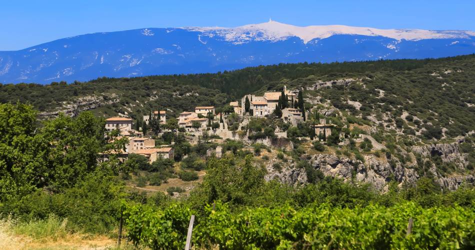
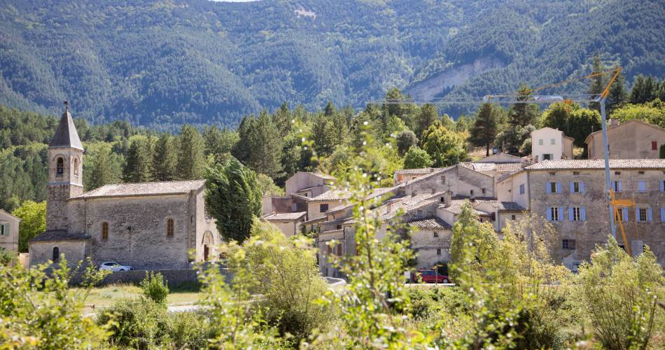
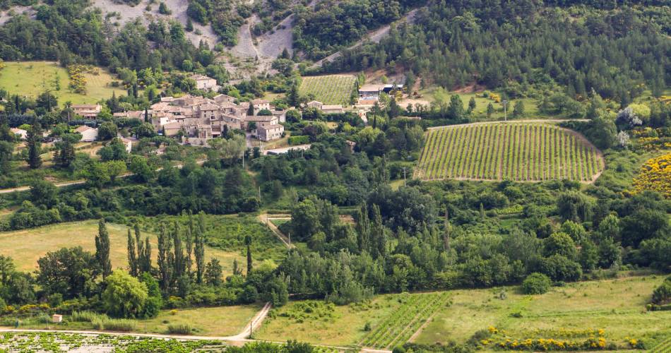
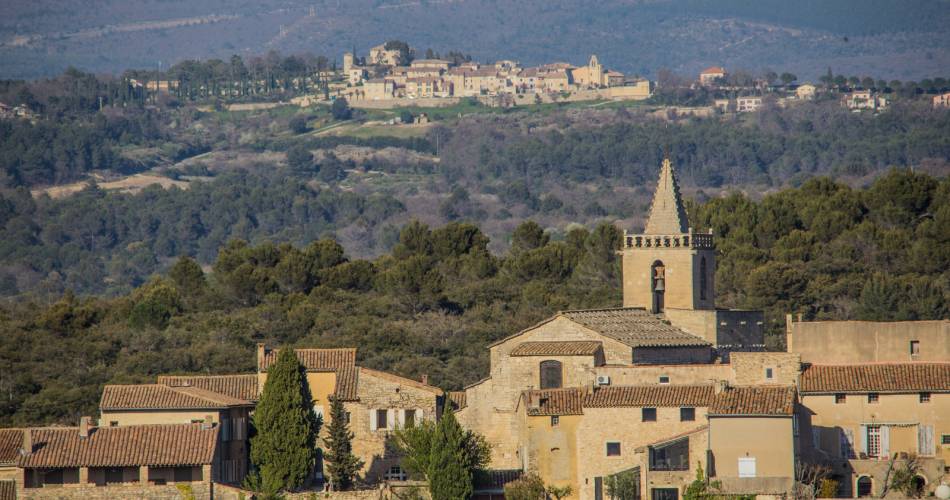
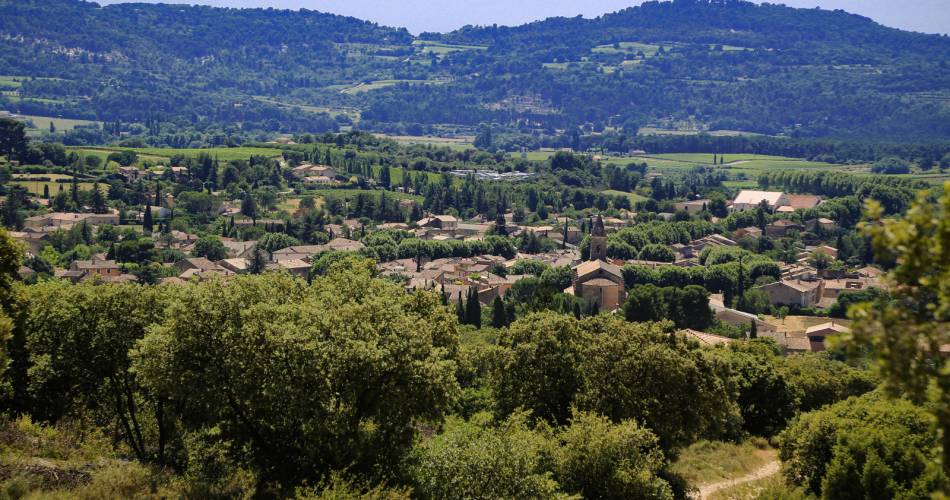
The route combines discovering the different facets of this legendary massif, its sheltered combes and wild valleys, its “perched” villages and their local products.
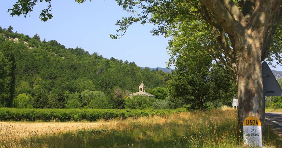
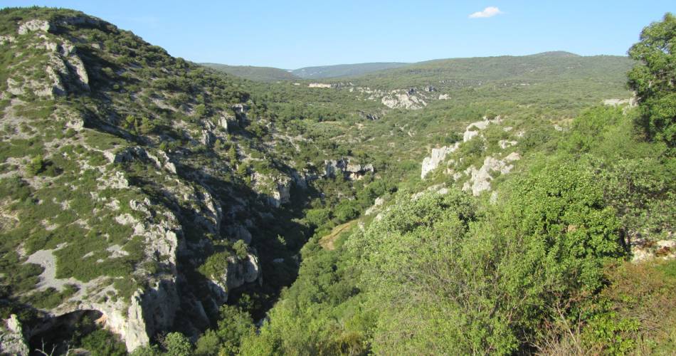
Much older than the Alps, which it saw being formed, Mont Ventoux rises like a beacon to the south, watching over the Dentelles de Montmirail. It alone offers a wide variety of landscapes and climates on each of its slopes. The route takes in the foothills of this iconic massif linking Provence and the Alps, an area of wilderness, farming, heritage – and hiking!
Much older than the Alps, which it saw being formed, Mont Ventoux rises like a beacon to the south, watching over the Dentelles de Montmirail. It alone offers a wide variety of landscapes and climates on each of its slopes. The route takes in the foothills of this iconic massif linking Provence and the Alps, an area of wilderness, farming, heritage – and hiking!
Go to the route
public transportation
From Carpentras - TER train station in Carpentras
Zou bus
Trans'COVE bus
Zou bus
- line 11: Carpentras - Vaison la Romaine.
- line 12: Carpentras - Sault
Trans'COVE bus
- line K Carpentras - Malaucène.
- line L Carpentras - Bédoin.
- line M Carpentras - Flassan.
recommended parking
Tourist office - Place de la Mairie
road access
From the A7 Exit Bollène, towards Vaison la Romaine – Malaucène.
To note
- Follow the GR® (white-red) / GRP® (yellow-red) signposting
- Itinerary mostly shared with GR®s
- can be done in any season.
- Prepare for your hike.
- Plan to have good walking shoes, water and clothes that are suitable for the weather.
 If you want to report a problem on your hike (marking, maintenance, danger...), let us know on Suricate: sentinels.sportsdenature.fr
Access to the massifs
Respect the regulations preserving protected natural areas – find out about restrictions to accessing the massifs during fire risk periods, from 15 June to 15 September.
Before heading out, check the website
Respect the regulations preserving protected natural areas – find out about restrictions to accessing the massifs during fire risk periods, from 15 June to 15 September.
Before heading out, check the website
In brief
- Within the territory of the Mont-Ventoux Regional Nature Park
- Piedmont slope of the Ventoux and its villages, ideal for visits when on the road
- Possibility of adding small loops to the day to discover the many valleys on the south slope of the massif
- To cover in 5 to 10 days
- Described counter-clockwise
Contact
Fédération Française de Randonnée de VaucluseTel : View number 04 28 70 27 29
Website : https://boutique.ffrandonnee.fr/autour-du-mont-ventoux-et-des-dentelles-de-montmirail
Guided hikes
This page was produced with the help of theVaucluse Provence Attractivité