
Bédoin
BÉDOIN - Sentier des Pitchouns
Route
Loop
Difficulty
Very easy
Duration
1h03
Distance
2km
Positive elevation gain
63 meters
Negative elevation gain
51 meters
Altitude
Min. 1150 meters
Max. 1212 meters
Tourist service in Bédoin :
Go to the route
public transportation
There is no public transport service to the start of the walk.
recommended parking
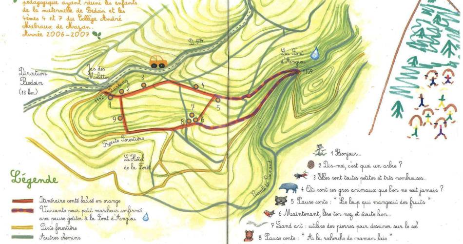
Bédoin – Jas des Melettes car park, D974
road access
From Avignon, head towards Bedoin, then on to the summit of Mont Ventoux via the D974.
To note
- In winter, if there is snow, suitable kit is essential. Mont Ventoux is a mountain, and there is a temperature difference of between 10°C and 15°C between the base and the summit. So make sure you are properly equipped (walking boots, water, food, a windproof jacket and warm clothing) before setting off.
- Do not pick up or gather anything.
- During the hunting season, wear brightly coloured clothing, make sure you’re visible and follow the signs put up by hunters.
If you come across a herd, walk around it and take care around guard dogs.
 If you want to report a problem on your hike (marking, maintenance, danger...), let us know on Suricate: sentinels.sportsdenature.fr
Access to the massifs
Respect the regulations preserving protected natural areas – find out about restrictions to accessing the massifs during fire risk periods, from 15 June to 15 September.
Before heading out, check the website
Respect the regulations preserving protected natural areas – find out about restrictions to accessing the massifs during fire risk periods, from 15 June to 15 September.
Before heading out, check the website
In brief
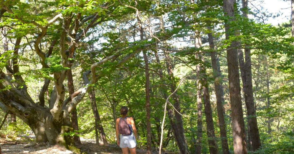
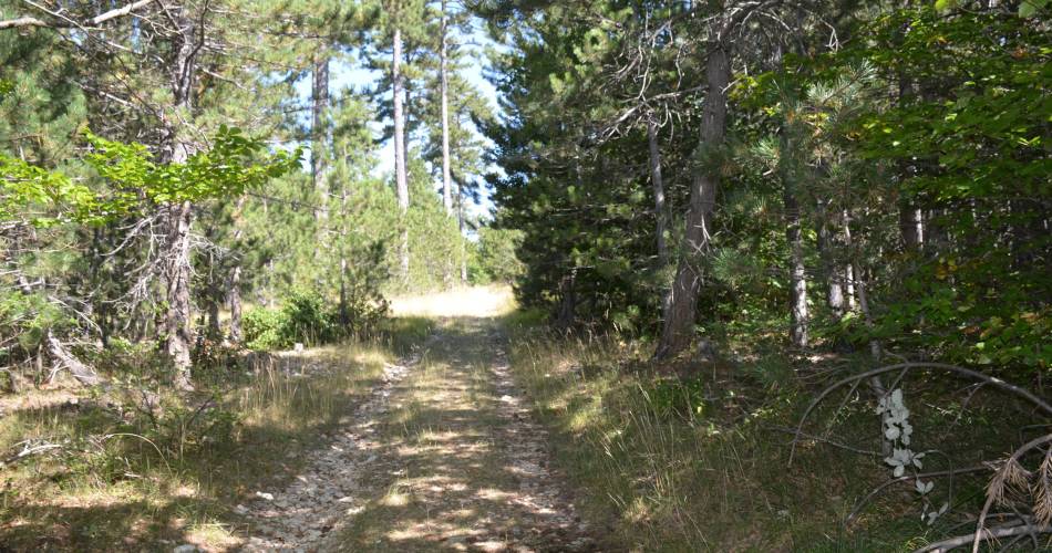
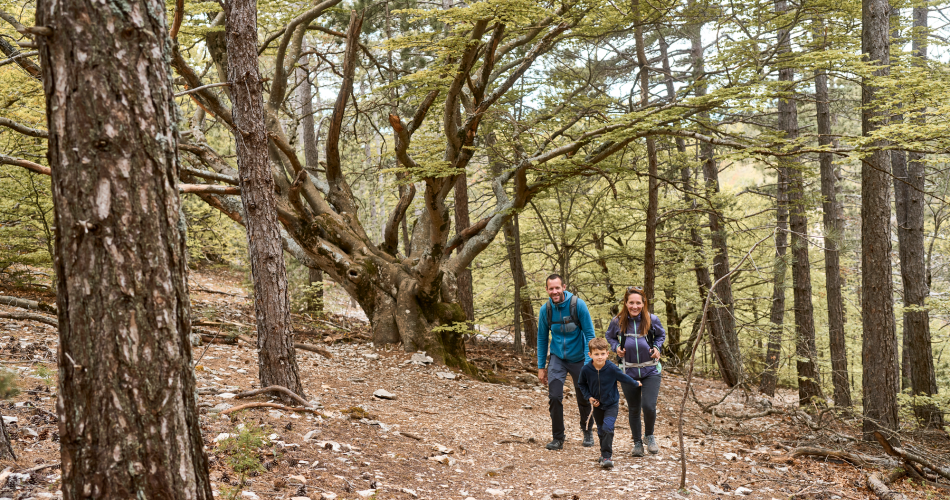
- Shaded loop
- Wooden panels and sculptures about Nature and fauna
Downloads
Contact
Parc Naturel Régional du Mont-VentouxTel : View number 04 90 65 63 95
Website : http://www.ventouxprovence.fr
Guided hikes
This page was produced with the help of theParc naturel régional du Mont-Ventoux