
Saint-Saturnin-lès-Apt
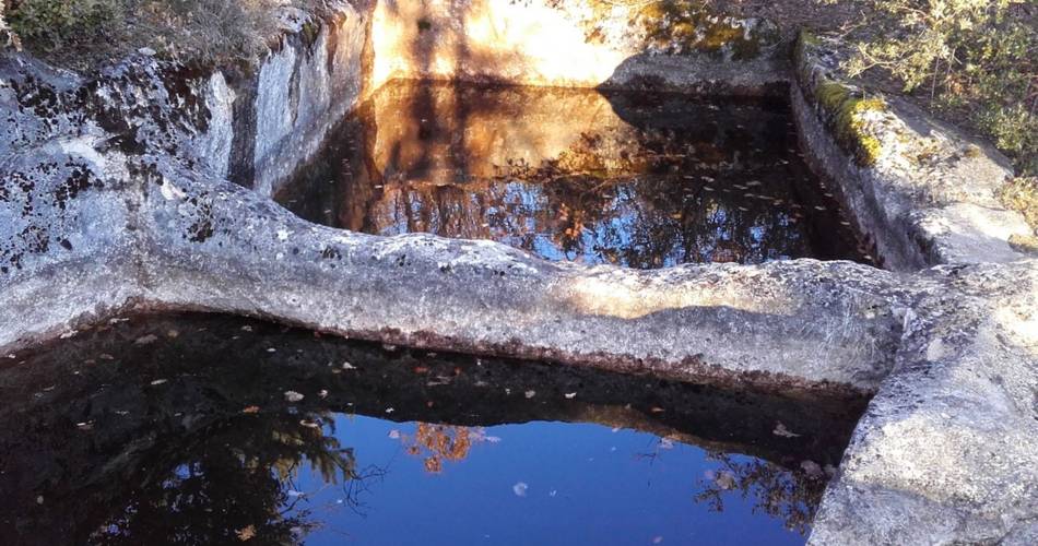
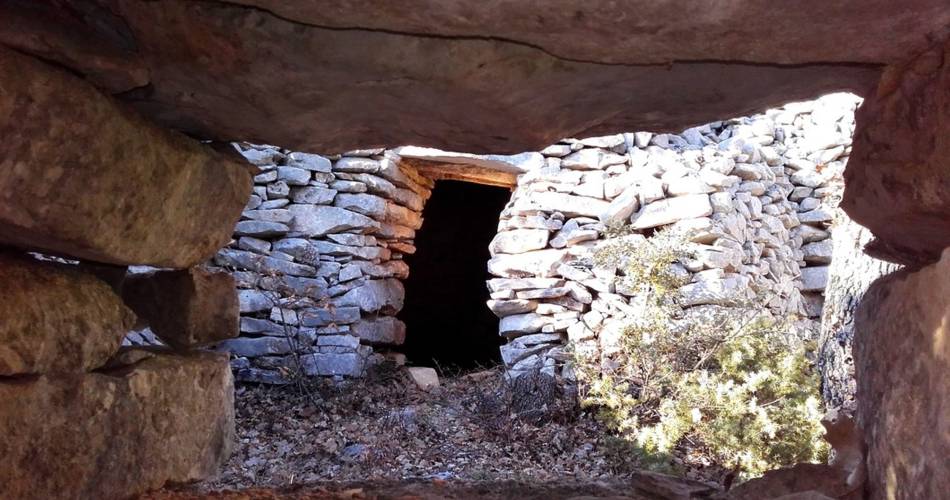
Underground water tanks in Travignon
Route
Loop
Difficulty
Very difficult
Duration
8h
Distance
19km
Positive elevation gain
878 meters
Negative elevation gain
877 meters
Altitude
Min. 359 meters
Max. 1048 meters
Tourist service in Saint-Saturnin-lès-Apt :
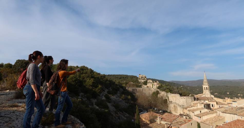
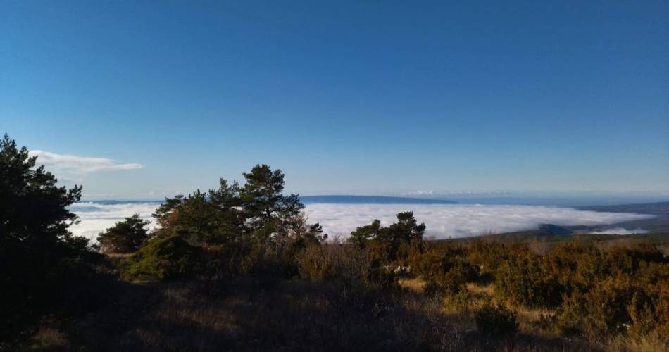
Starting at the hilltop village of Saint-Saturnin-lès-Apt, a great trip on the Sentier des Aiguiers, the top of Mount Cluyer and the ruins of Travignon.
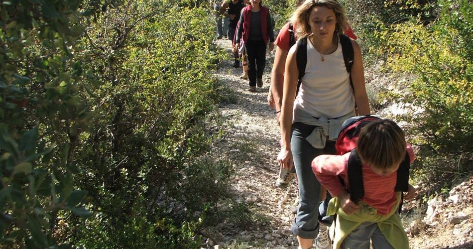
A long walk without great technical difficulty but with a good vertical drop that initially passes through the beautiful hilltop village of Saint-Saturnin-lès-Apt, then takes the ''Sentier des Aiguiers'' crossing the dome of Mount Cluyer, coming back to the abandoned hamlet of Travignon and finally ending with the large wild valleys of the southern flank of the Monts-de-Vaucluse
Go to the route
public transportation
recommended parking
On the village Square, Avenue Jean Geoffroy
To note
- There is a rocky and stony area approaching the dôme du Cluyer (2) and (3), and on the path that descends into the Travignon valley (4) and (5).
- The ruins of Travignon have not been made safe and some properties are private. Please respect the peace and quiet of the area.
- The path is shared with mountain-biking circuits.
 If you want to report a problem on your hike (marking, maintenance, danger...), let us know on Suricate: sentinels.sportsdenature.fr
Access to the massifs
Respect the regulations preserving protected natural areas – find out about restrictions to accessing the massifs during fire risk periods, from 15 June to 15 September.
Before heading out, check the website
Respect the regulations preserving protected natural areas – find out about restrictions to accessing the massifs during fire risk periods, from 15 June to 15 September.
Before heading out, check the website
In brief
- This is a long walk that is not too difficult technically but has good elevation.
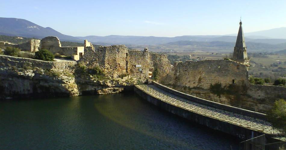
- Discovery of the beautiful hilltop village of Saint-Saturnin-lès-Apt.
- The route takes you via the Les Aiguiers path, ruins of farms of yesteryear that were used as “cisterns” dug into the limestone rock and filled with rainwater via a trickling system.
- Discovery of the Dôme du Cluyer, and the abandoned hamlet of Travignon, with its bories (dry stone huts) and aiguiers (cisterns).
- Passes via the large wild valleys of the south side of the Monts-de-Vaucluse.
Downloads
Contact
Parc naturel régional du LuberonTel : View number 04 90 74 03 18
Website : http://www.luberon-apt.fr/
Guided hikes
This page was produced with the help of theParc Naturel Régional du Luberon