
Taillades
Rocks of Baude
L18
Route
Loop
Difficulty
Very difficult
Duration
3h
Distance
6km
Positive elevation gain
298 meters
Negative elevation gain
298 meters
Altitude
Min. 115 meters
Max. 354 meters

Tourist service in Taillades :
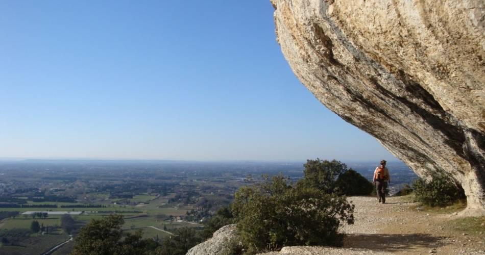
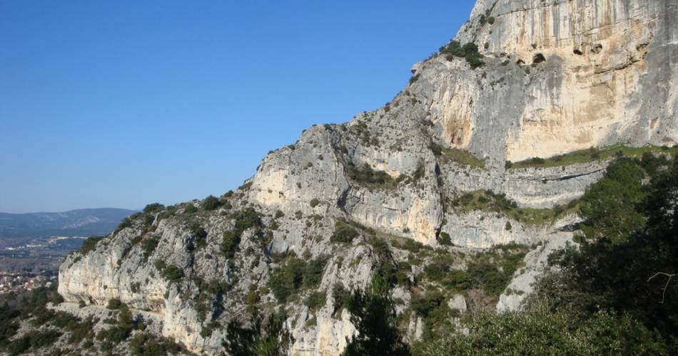
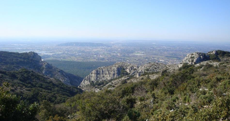
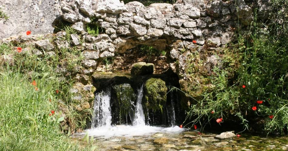
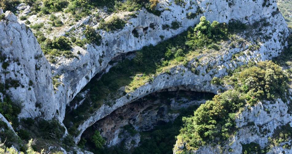
A short but singular stroll between cliffs, balms and ledges of the west end of the Petit Luberon.
« The Petit Luberon always seduces us. You can never get too much of this diversity of spectacular and intimate landscapes imbued in history, the rich nature so rare and diverse. Cliffs, balms, peaks, forests and mixed lawns, the former presence of man, the herds on steep slopes... It is fascinating and discovering it is always with a strand of adventure. Sophie Bourlon, Research Analyst from Natura 2000 at the RNP of Luberon.
Go to the route
public transportation
recommended parking
Espace Saint Ferreol - Les Taillades - Near the Town Hall
road access
5 km east of Cavaillon, via the D143. Espace Saint-Ferréol car park, near the town hall.
To note
- Bear in mind that although the walk is quite short, some sections are quite technical and very steep.
- Before point 2 : be very careful in the Badarel gorges, whre there is a rocky ledge with many stones along the path and a ladder crossing.
- Between points 2 and 3 : take care along the cornices of the cirque de Boulon and watch out for your ankles on the stony descents.
- Hunting is open from September to February. Don't forget to find out about the battues before you set off.
 If you want to report a problem on your hike (marking, maintenance, danger...), let us know on Suricate: sentinels.sportsdenature.fr
Access to the massifs
Respect the regulations preserving protected natural areas – find out about restrictions to accessing the massifs during fire risk periods, from 15 June to 15 September.
Before heading out, check the website
Respect the regulations preserving protected natural areas – find out about restrictions to accessing the massifs during fire risk periods, from 15 June to 15 September.
Before heading out, check the website
In brief
- A spectacular walk among the cliffs, baumes (caves) et cornices of the Petit Luberon.
- A challenging and fun trail featuring a series of hidden treasures unique to the geology of the Luberon: unobstructed views, caves, steep ridges and unusual limestone formations Cirque de Boulon, Gorges de Badarel, summit grasslands...
Downloads
Contact
Parc naturel régional du LuberonTel : View number 04 90 71 32 01
Website : https://www.destinationluberon.com/
Guided hikes
This page was produced with the help of theParc Naturel Régional du Luberon