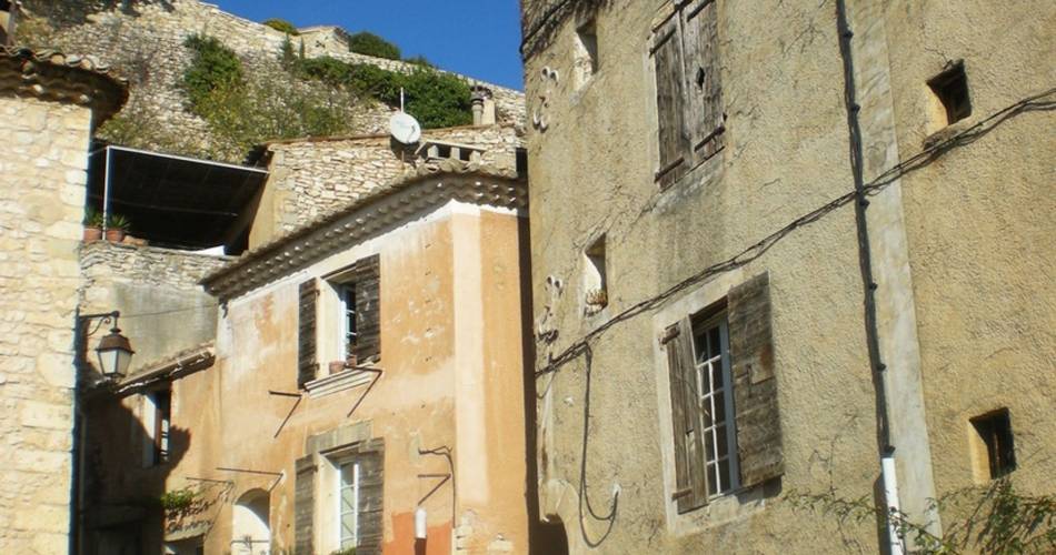
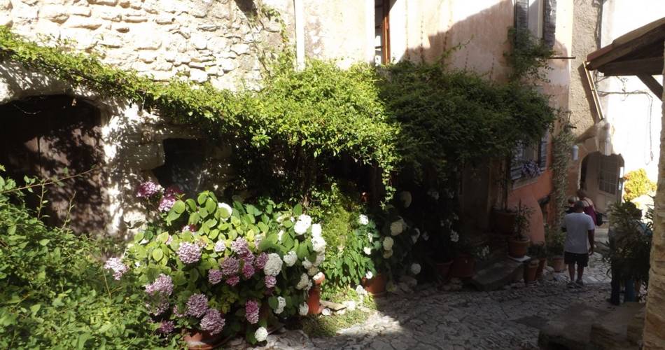
When leaving the car park, take a left. Right after the coffee bar, take a right and then a narrow and rocky passage (marked horse routes). At the top, turn left and then right along the road to reach the D102A. Go down to the right for 50 m and rush in on the track to the left. At the intersection “Plantades”, turn on the left, reach the ditch of La Rourette (pole) and take a right on the path leading to the D102A. Cross the road and continue across until the village of Murs.
1- Go through the village towards Venasque (D4), continue straight at the first intersection and turn left on a small road. Below, at the crossroads “Les vallons”, continue straight. Take the rise then turn right onto the old path to the Col de Murs.
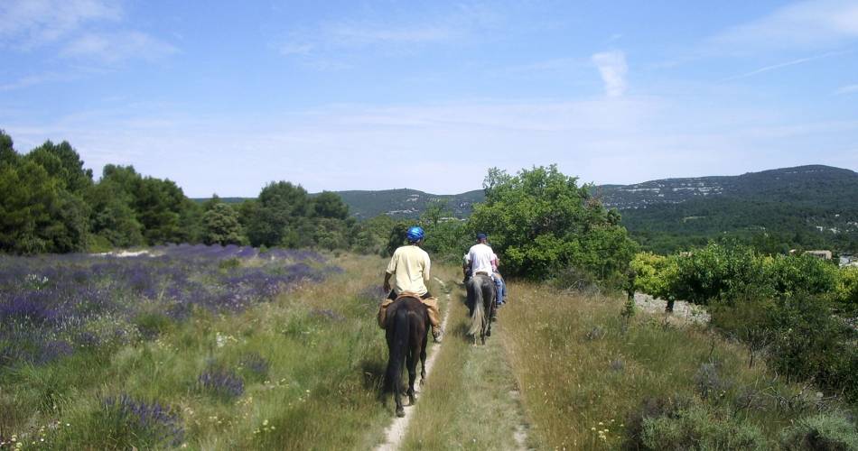
2- At the Col de Murs, go left, continue on the main track for 3.5 km and reach the D244. Cross the road and turn right lower down on a trail. Lead back to the D244 and the Col 100 m downstream.
3- At the col des Trois Termes (pole), turn left on the D177, then 50 m further down, go down the path to the left until the creek of Puy Neuf. There, climb the other side and after a steep slope, cross the area of the Dalle des Busans. At the exit of a road, turn right, then 200 m further, turn left on a path along an old meadow. Go straight, turn slightly on the left and then switch until you reach a wider path. Cross a short passage between two walls (can be avoided by taking a right turn) and go straight on the paved road to the D15.
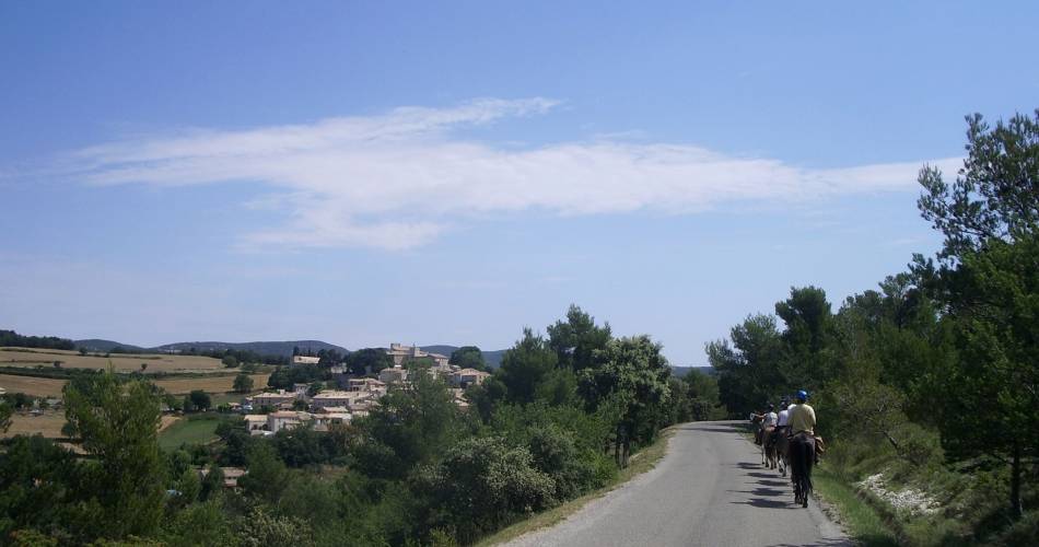
4- At the intersection “Fontanille”, leave the marked horse routes and go up the road to the left for 750 m. Go down a gravel path and reach the heights of the gorges of Véroncle (lectern). Continue straight on the path (PR) that descends to the hamlet of Grailles. Upon arrival on the tarmac, turn left (markup GRP®), cross the small bridge, go along an old mill, then go up the path on the left. Turn right 50 m further, then immediately on the right again, to land on a track (markup PR). Cross and remain across on the small road that leads back to Joucas.
See less