Cabrières-d'Aigues
Le Mourre Nègre (Massif du Luberon)
Tourist service in Cabrières-d'Aigues :
Open all year Restrictions in summer, check with your Tourist Office: 04 90 07 50 29.
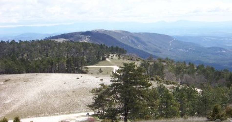
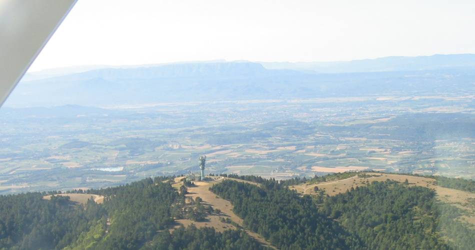
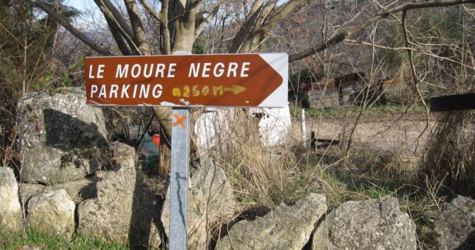
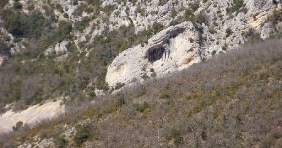
The Luberon is a low mountain range that stretches from east to west between the Alpes-de-Haute-Provence and the Vaucluse, France. The name of the massif is prior to the beginning of the Christian era (Louerionos) and drift until Luberon (Luberon or being challenged in a script) from the eighteenth century. The massive, including in particular the mountains of Grand and Petit Luberon, measuring over 60 kilometers long with a width of 5 kilometers, and its highest point is Mourre Negro, rounded top that rises 1125 meters of above sea level in the Luberon. The hydrology of relief comprises several rivers and springs, and only one lake in the southern part of the pond Bonde. Composed of rocks from the Mesozoic era as the Tertiary period, mostly limestone massif is rich in fossils from the end of secondary school, and includes many careers. The massif is in the heart of the regional park of Luberon, and became an emblematic place of Haute Provence, straddling the departments of Vaucluse and Alpes-de-Haute-Provence (Provence-Alpes-Côte d'Azur ). He deemed beyond the borders of France. Four cities have grown around him Apt north, west Cavaillon, Pertuis and Manosque south east. You want to hike Mourre Negro? 750 meters in altitude, 16 km. Here here a route from idea Cabrières-d'Aigues.
Contact
Le Mourre Nègre (Massif du Luberon)84240 Cabrières-d'Aigues
Tel :
View number
04 90 07 50 29
E-Mail : Afficher le mail contact@luberoncotesud.com
Website : http://www.luberoncotesud.com
E-Mail : Afficher le mail contact@luberoncotesud.com
Website : http://www.luberoncotesud.com
Coordinates
Longitude : 5.493628Latitude : 43.79202
> Getting there by public transport
Nearby
This page was produced with the help of theSud Luberon Tourisme