
Mondragon
R06 Boissouteyrand trail in Mondragon
Route
Loop
Difficulty
Intermediate
Duration
3h
Distance
13km
Positive elevation gain
265 meters
Negative elevation gain
267 meters
Altitude
Min. 42 meters
Max. 134 meters
- circuit
- variante
- liaison
Departure / Arrival
Léon Fauritte Stadium car park / Léon Fauritte Stadium car park
Parking
Léon Fauritte Stadium car park
profil altimétrique
Downloads
Traces GPX
Tourist service in Mondragon :
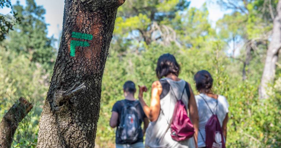
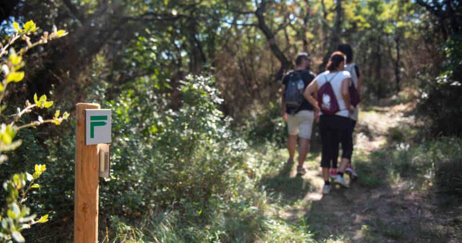
A circular family walk around Mondragon, through hills covered with scrub and pines, valleys planted with vines, and viewpoints overlooking the Rhône valley.
Walk in the footsteps of the southern French poets who celebrated the hillside streams, blue olive trees and mistral winds.
Go to the route
public transportation
Nearest TER station: Bollène - La Croisière
Bus Zou !
- From Orange or Bollène: line 901 / Le Stade or Centre stops
Bus Zou !
- From Orange or Bollène: line 901 / Le Stade or Centre stops
recommended parking
Léon Fauritte Stadium car park
road access
A7 motorway, junction 19National Road 7
To note
This walk is best enjoyed in spring and autumn.
In winter, wear bright colours and check with the local council to find out whether the hunters have planned a drive on the day of your outing.
 If you want to report a problem on your hike (marking, maintenance, danger...), let us know on Suricate: sentinels.sportsdenature.fr
Access to the massifs
Respect the regulations preserving protected natural areas – find out about restrictions to accessing the massifs during fire risk periods, from 15 June to 15 September.
Before heading out, check the website
Respect the regulations preserving protected natural areas – find out about restrictions to accessing the massifs during fire risk periods, from 15 June to 15 September.
Before heading out, check the website
In brief
- Suitable for a family walk.- Explore the garrigue, valleys and vineyards.- Some lovely views over the Rhône Valley.Downloads
Contact
Tel : View number 0490303683
E-Mail : contact@provencecoterhone-tourisme.com
Website : http://www.provencecoterhone-tourisme.com/
Facebook : https://www.facebook.com/provencecoterhonetourisme/
Guided hikes
This page was produced with the help of theOffice de Tourisme Intercommunal Provence Côté Rhône