Mornas
Mornas Fortress hiking path
Route
Loop
Difficulty
Easy
Duration
1h03
Distance
3km
Positive elevation gain
153 meters
Negative elevation gain
152 meters
Altitude
Min. 36 meters
Max. 189 meters
- circuit
- variante
- liaison
Departure / Arrival
/
Parking
profil altimétrique
Downloads
Sentier de randonnée Forteresse de Mornas_Mornas
Traces GPX

Tourist service in Mornas :
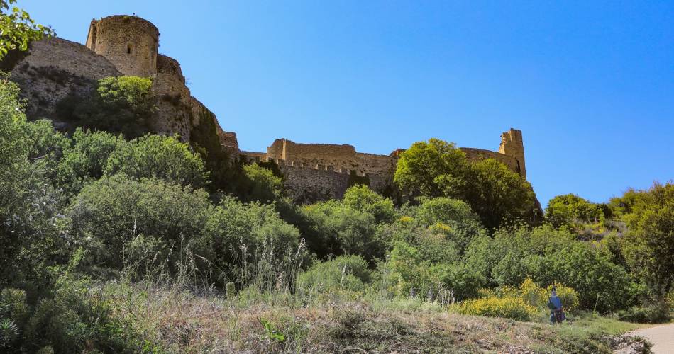
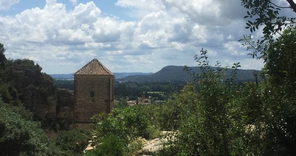
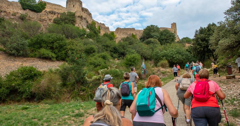
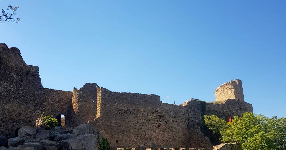
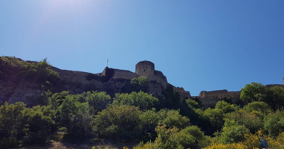
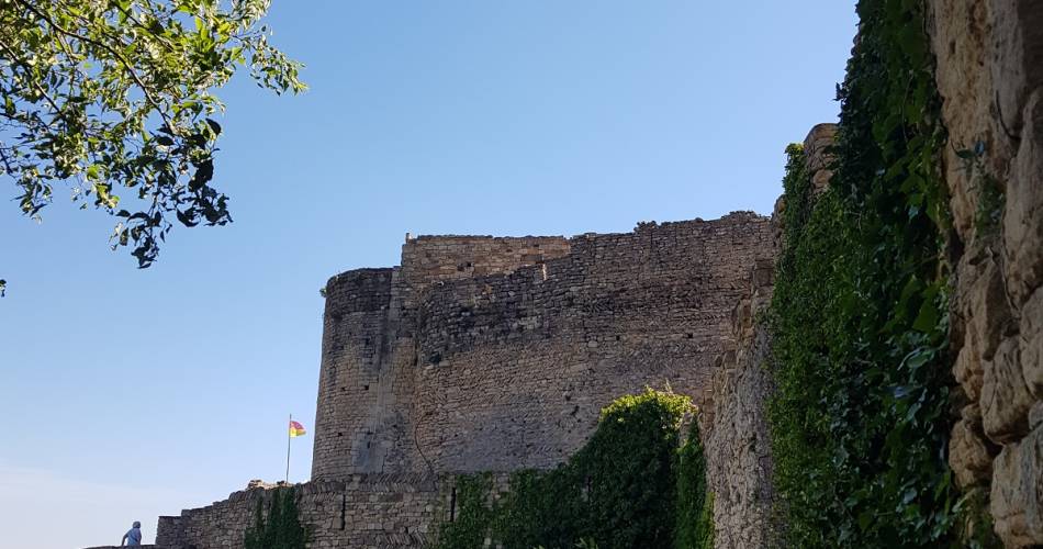
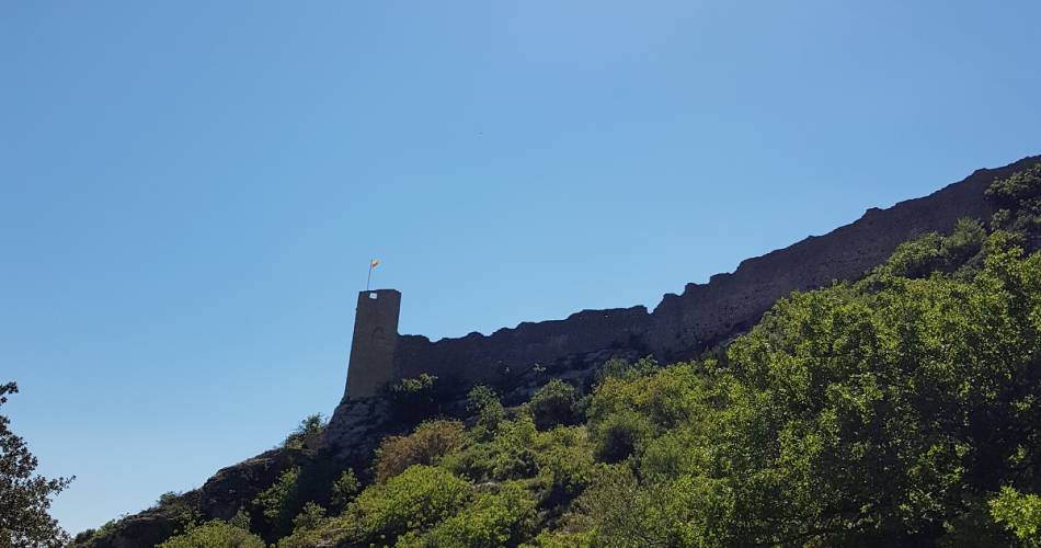
All the family can enjoy this circular hike to explore the medieval fortress of Mornas, perched 137 m up on a cliff that dominates the Rhone Valley.
Step back in history, surrounded by Provence's thyme-scented landscapes!
Starting from the village, this circuit leads you out into nature and offers great views over the fortress from different angles so you can appreciate its imposing architecture.
The fortress is open to visitors, with activities that give a taste of 13th-century life in a Provençal castle. By walking round this commanding rocky spur, you get a good sense of this fortress's defensive role during the Hundred Years' War.
This walk is detailed in the guide available from Bollène Tourist Office.
To note
 If you want to report a problem on your hike (marking, maintenance, danger...), let us know on Suricate: sentinels.sportsdenature.fr
Access to the massifs
Respect the regulations preserving protected natural areas – find out about restrictions to accessing the massifs during fire risk periods, from 15 June to 15 September.
Before heading out, check the website
Respect the regulations preserving protected natural areas – find out about restrictions to accessing the massifs during fire risk periods, from 15 June to 15 September.
Before heading out, check the website
In brief
Contact
Tel : View number 04 90 30 36 83
E-Mail : contact@provencecoterhone-tourisme.com
Website : http://www.provencecoterhone-tourisme.com/
Facebook : https://www.facebook.com/provencecoterhonetourisme/
Guided hikes
This page was produced with the help of theOffice de Tourisme Intercommunal Provence Côté Rhône