
Mondragon
GR® de Pays: Around the Uchaux Massif
Route
Two way loop
Difficulty
Difficult
Duration
3d
Distance
44km
Positive elevation gain
1087 meters
Negative elevation gain
1087 meters
Altitude
Min. 36 meters
Max. 257 meters
- circuit
- variante
- liaison
Departure / Arrival
Mondragon / Mondragon
Parking
Place de la Paix in Mondragon
profil altimétrique
Tourist service in Mondragon :
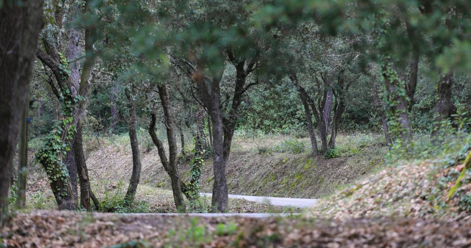
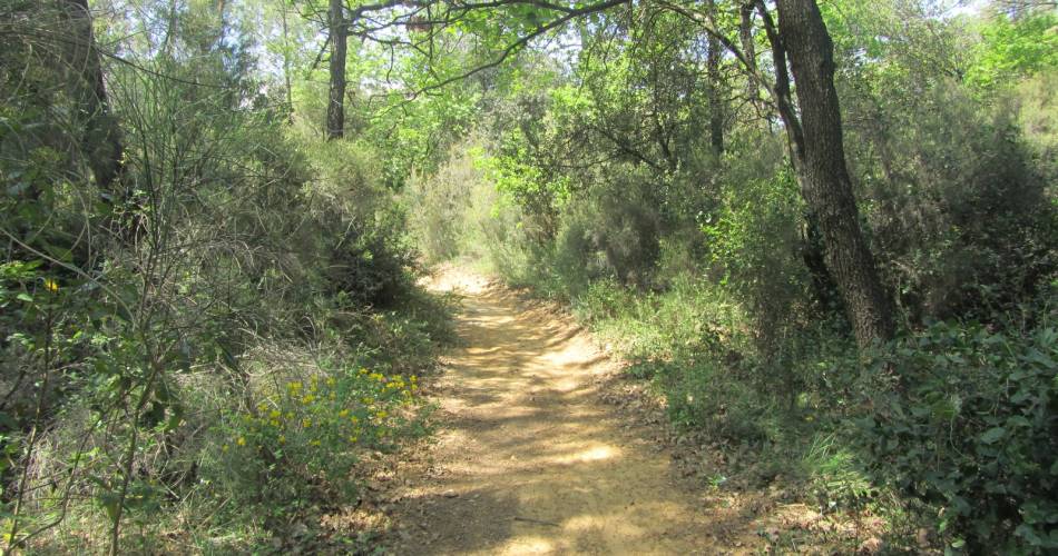
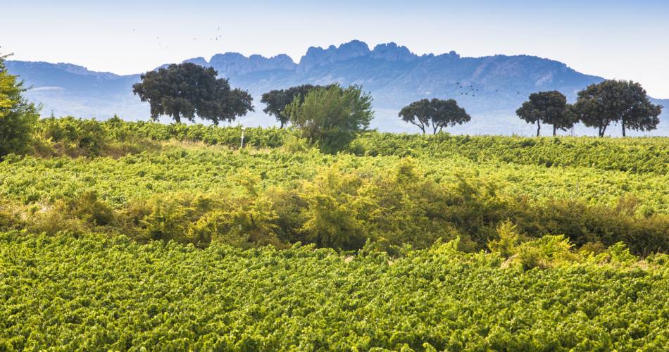
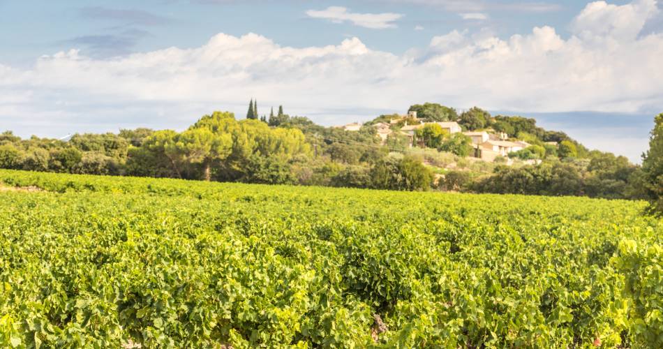
A day hike (approx. 12 miles) or 3-day hiking tour (approx. 6 miles per day), depending on how athletic you are. Discover the Uchaux massif, its vineyards and vegetation, always with the “Giant of Provence” as your backdrop.
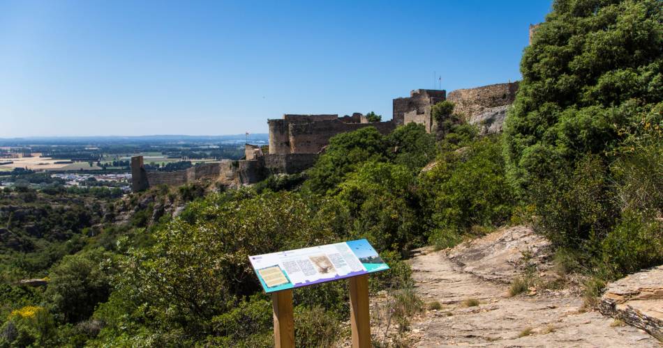
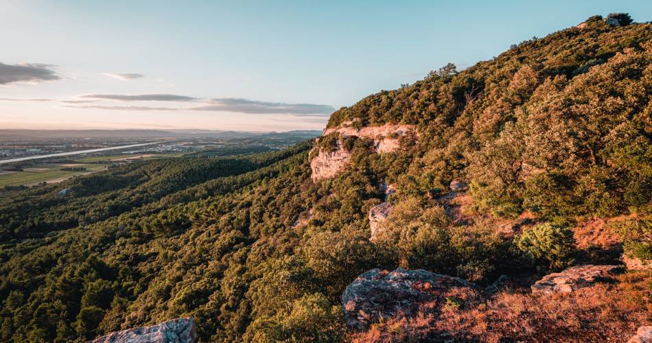
The route explores the Uchaux massif in all its diversity: comprised of different geological strata, each has its own particular vegetation. This hike takes you to the heart of an amazing massif, with a multitude of landscapes to see: from vines planted in terraces to unbroken views of the Rhône plain, with Mont Ventoux always towering in the background.
Go to the route
public transportation
By train, TER lines - to Orange or Bollène.
By bus, the Zou transport network
Line 901 Orange - Bollène (stop: Mondragon Centre)
By bus, the Zou transport network
Line 901 Orange - Bollène (stop: Mondragon Centre)
recommended parking
Place de la Paix in Mondragon
road access
Exit the A7 at Bollène, towards Mondragon
To note
- Follow the GRP® signposting (yellow-red).
- This walk is best enjoyed in autumn or spring.
- Prepare your walk: remember to bring good walking shoes, enough water, and weather-appropriate clothing.
 If you want to report a problem on your hike (marking, maintenance, danger...), let us know on Suricate: sentinels.sportsdenature.fr
Access to the massifs
Respect the regulations preserving protected natural areas – find out about restrictions to accessing the massifs during fire risk periods, from 15 June to 15 September.
Before heading out, check the website
Respect the regulations preserving protected natural areas – find out about restrictions to accessing the massifs during fire risk periods, from 15 June to 15 September.
Before heading out, check the website
In brief
- A 44 km long itinerant route, perfect for your first weekend walking tour.
- Green and shady massif, very pleasant in summer.
- Can be covered in 1 to 3 days.
Contact
Fédération Française de Randonnée de VaucluseTel : View number 04 28 70 27 29
Website : https://www.rando84.com/randonner/rando-vaucluse/les-grp/uchaux/
Guided hikes
This page was produced with the help of theVaucluse Provence Attractivité