
Saint-Léger-du-Ventoux
ST-LEGER-DU-VENTOUX - Patrimoine géologique et historique
Route
Round trip
Difficulty
Intermediate
Duration
3h
Distance
8km
Positive elevation gain
426 meters
Negative elevation gain
426 meters
Altitude
Min. 400 meters
Max. 700 meters
Tourist service in Saint-Léger-du-Ventoux :
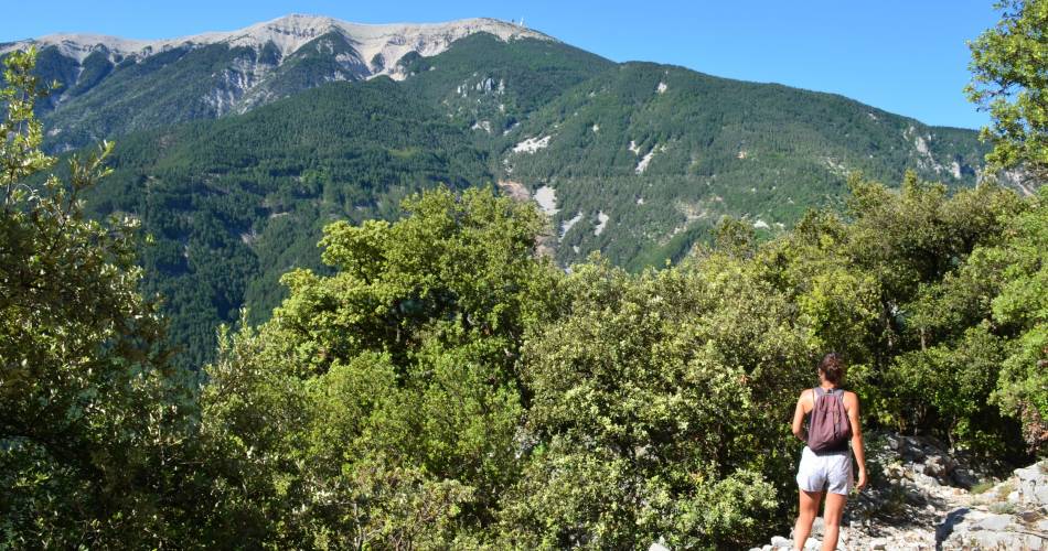
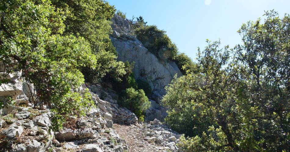
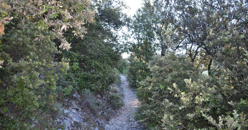
Sentier patrimoine géologique et historique de la vallée du Toulourenc.
« Ce parcours m’a entrainé autant les jambes que le cerveau, le dénivelé de 350m permet de faire une balade sportive et d’avoir des super points de vue. J’ai également appris pleins de choses sur la vallée grâce aux plaques explicatives tout au loin du circuit. » Promeneuse anonyme, juin 2022.
To note
 If you want to report a problem on your hike (marking, maintenance, danger...), let us know on Suricate: sentinels.sportsdenature.fr
Access to the massifs
Respect the regulations preserving protected natural areas – find out about restrictions to accessing the massifs during fire risk periods, from 15 June to 15 September.
Before heading out, check the website
Respect the regulations preserving protected natural areas – find out about restrictions to accessing the massifs during fire risk periods, from 15 June to 15 September.
Before heading out, check the website
In brief
Downloads
Contact
Parc Naturel Régional du Mont-VentouxTel : View number 04 90 12 89 94
Website : http://www.vaison-ventoux-tourisme.com
Guided hikes
This page was produced with the help of theParc naturel régional du Mont-Ventoux