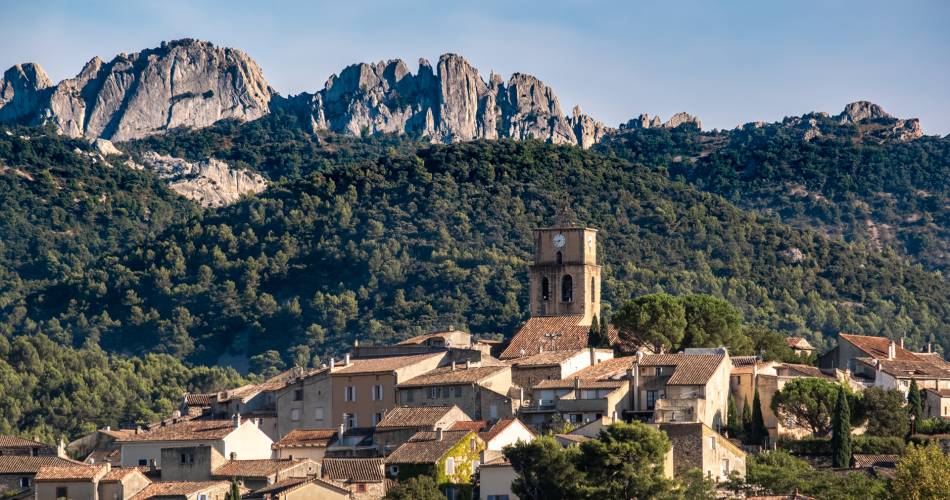
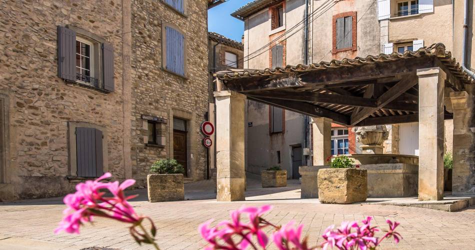
Sablet
Randonnée Le Monastère de Prébayon - Sablet
Tourist service in Sablet :
Let's discover a moving site, one of the oldest vestiges of Christianization in the region, where nuns who had come to the "desert" to retreat were driven out by the raging waters.
Take the Chemin du Stade and, at the cemetery, turn left onto the D7.
Continue along the D7 to Chapelle Saint Roch, then follow Chemin de Combes (yellow signs to Jacquette crossroads). Follow the dirt track to Séguret on the left (yellow-red markings to the grand-Font crossroads). Take the small road to the right (white-red markings to the Cöte-Chaude junction). Take the right-hand path (yellow markings to the Grande Montagne junction). Take the left-hand track (white-red markings to the Dindoulette crossroads). Go straight down (yellow markings to Fontaine de Fées bend). Continue along the road for 300m to "Font di Fades" (yellow-red markings). Take the track on the left (yellow markings until you reach a crossroads which leads back to the cemetery on the left). Reach the parking lot (unmarked).
Continue along the D7 to Chapelle Saint Roch, then follow Chemin de Combes (yellow signs to Jacquette crossroads). Follow the dirt track to Séguret on the left (yellow-red markings to the grand-Font crossroads). Take the small road to the right (white-red markings to the Cöte-Chaude junction). Take the right-hand path (yellow markings to the Grande Montagne junction). Take the left-hand track (white-red markings to the Dindoulette crossroads). Go straight down (yellow markings to Fontaine de Fées bend). Continue along the road for 300m to "Font di Fades" (yellow-red markings). Take the track on the left (yellow markings until you reach a crossroads which leads back to the cemetery on the left). Reach the parking lot (unmarked).
Equipment
- Picnic area
Dates and times
All year round.
Please note that access to the massifs is restricted during the summer period (June 15 to September 15). For further information, visit www.risque-prevention-incendie.fr/vaucluse/ or call 04 28 31 77 11.
Duration: 4 h
Languages spoken
- French
Prices
Free access.
Contact
Randonnée Le Monastère de Prébayon - Sabletparking Chemin du Stade (D7)
84110 Sablet
Tel :
View number
04 28 70 27 29
Coordinates
Longitude : 5.007213Latitude : 44.189473
> Getting there by public transport
Nearby
This page was produced with the help of theOffice de tourisme du Pays de Vaison Ventoux en Provence