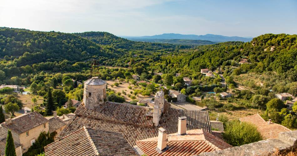
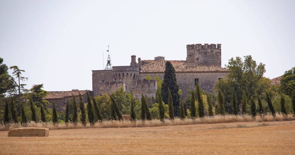
Le Beaucet
GR® de Pays Tour des Monts de Vaucluse
Route
Two way loop
Difficulty
Intermediate
Duration
3.8333333333333d
Distance
67km
Positive elevation gain
2353 meters
Negative elevation gain
2353 meters
Altitude
Min. 77 meters
Max. 629 meters
- circuit
- variante
- liaison
Departure / Arrival
Le Beaucet / Le Beaucet
Parking
Maquis J. Robert Car Park - Le Beaucet
profil altimétrique
Downloads
GRP® Tour des Monts de Vaucluse
Traces GPX
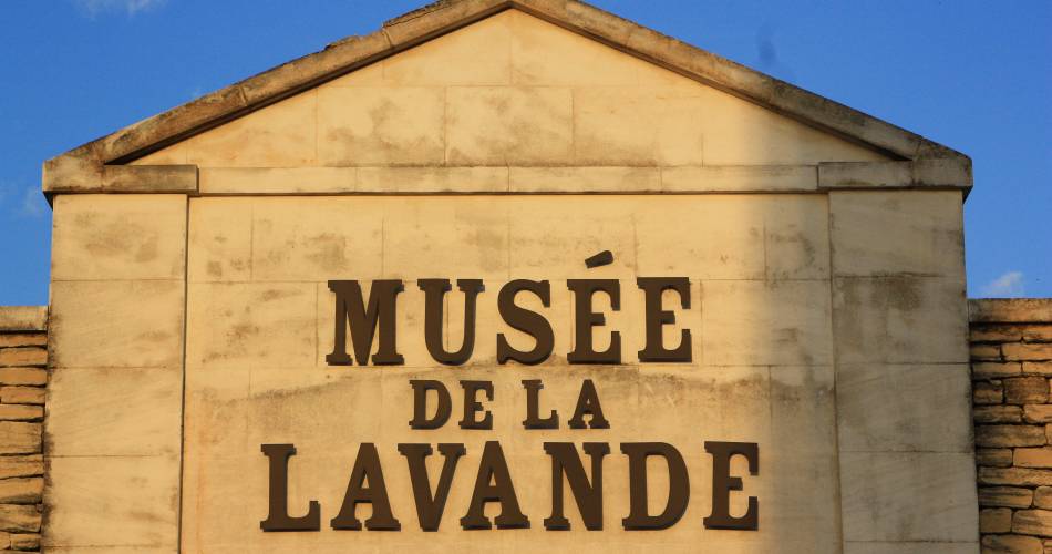
Tourist service in Le Beaucet :
Go to the route
public transportation
By Bus
- From Le Beaucet / TransCove network: Line N - Le Beaucet - Place Maquis J. Robert (↗| fr)
- From Fontaine-de-Vaucluse / Zou 914 network: Centre stop (↗)
- From Lagnes / Zou 914 network: Place de la Mairie stop (↗)
- From Gordes / Zou 917 network: Place du Château stop (↗)
recommended parking
Maquis J. Robert Car Park - Le Beaucet
road access
From the A7 motorway, take the Carpentras exit, head towards Carpentras, then Saint-Didier, then Le Beaucet.
To note
 If you want to report a problem on your hike (marking, maintenance, danger...), let us know on Suricate: sentinels.sportsdenature.fr
Access to the massifs
Respect the regulations preserving protected natural areas – find out about restrictions to accessing the massifs during fire risk periods, from 15 June to 15 September.
Before heading out, check the website
Respect the regulations preserving protected natural areas – find out about restrictions to accessing the massifs during fire risk periods, from 15 June to 15 September.
Before heading out, check the website
In brief
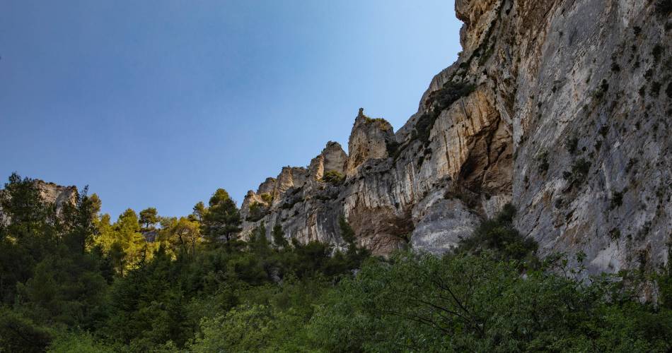
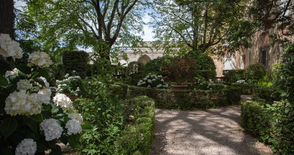
Within the Luberon Regional Nature Park.In the Monts de Vaucluse, where natural and cultural heritage intertwine. The Plague Wall, the Fontaine-de-Vaucluse chasm, Gordes, castles and Provençal villages.Crossroads of many other GR® and GR® de Pays trails, allowing for variations.Can be completed in 3 to 6 days.Downloads
Contact
Fédération Française de Randonnée de VaucluseTel : View number 04 28 70 27 29
E-Mail : vaucluse@ffrandonnee.fr
Website : https://www.rando84.com/randonner/rando-vaucluse/les-grp/monts-vaucluse/
Guided hikes
This page was produced with the help of theVaucluse Provence Attractivité