
Pernes-les-Fontaines
GR® de Pays: Around the Ventoux Massif – Circular hike from La Nesque to the Plague Wall
Tourist service in Pernes-les-Fontaines :
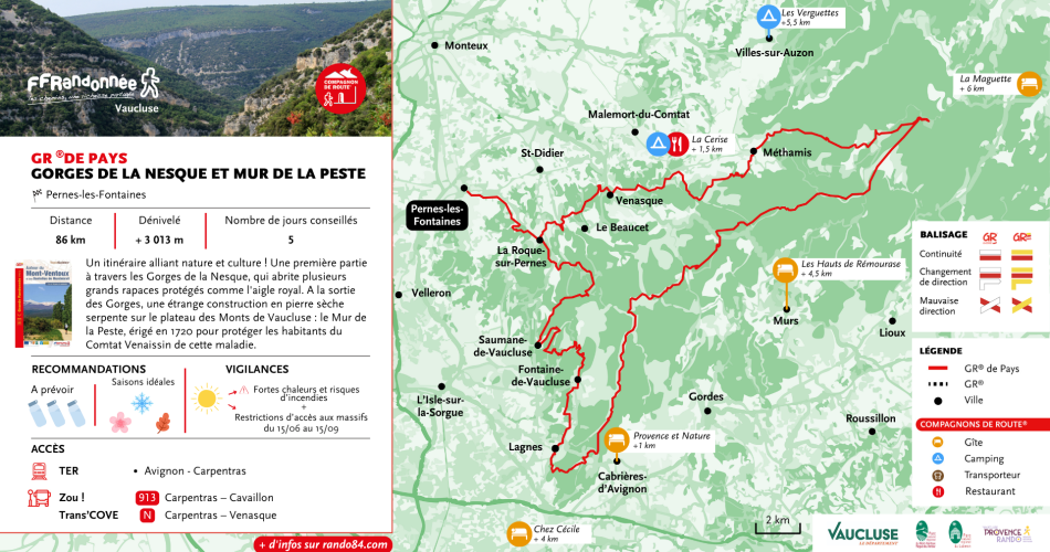
A 6-day or 3-day hiking tour, depending on how athletic you are (approx. 6 miles per day or 12 miles per day). A multi-day hike in the heart of the spectacular Gorges de la Nesque, as far as the Plague Wall, a page of Vaucluse history.
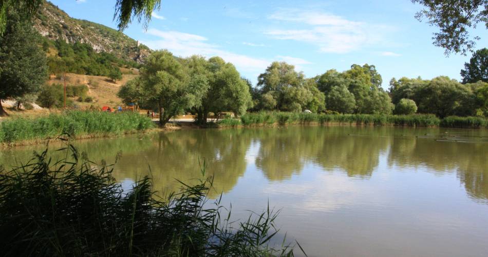
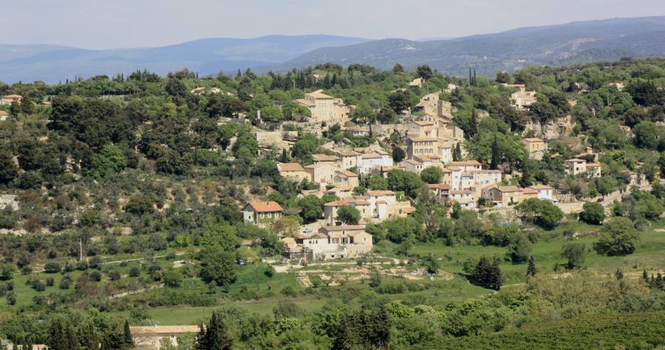
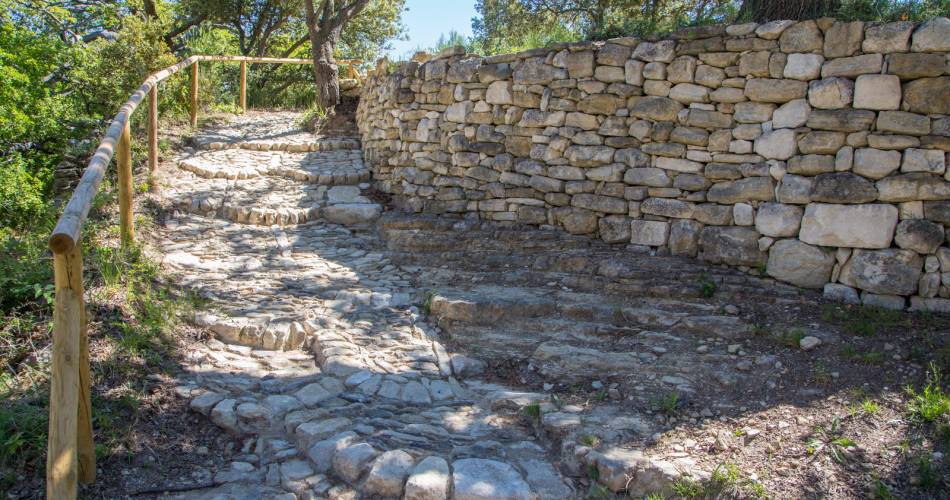
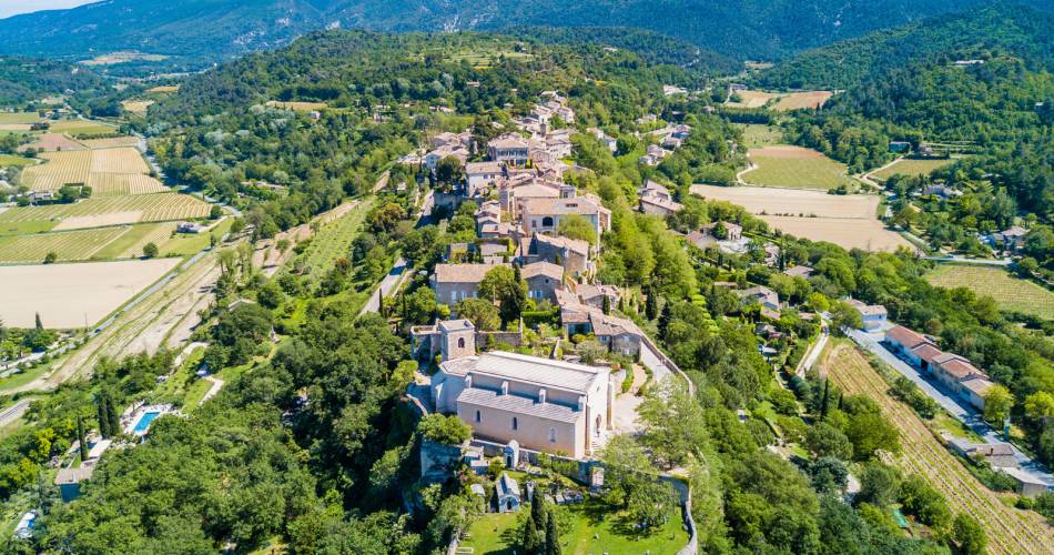
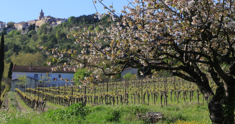
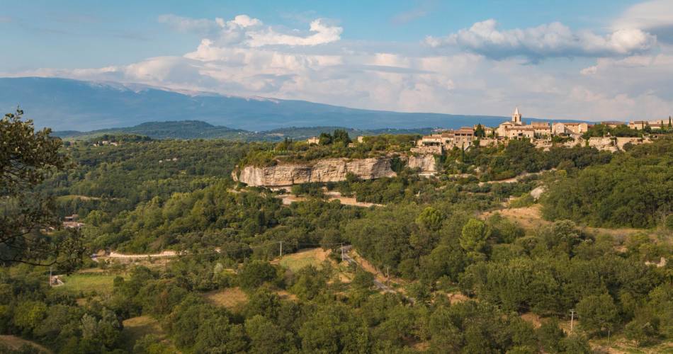
A route combining nature and culture! The first part takes you through the Gorges de la Nesque, a canyon at the foot of Mont Ventoux which is home to several protected species of large birds of prey, including the golden eagle. After leaving the Gorges, the path follows a curious dry-stone structure that snakes its way across the plateau of the Vaucluse mountains. It is the Mur de la Peste, or “Plague Wall”, built in 1720 to protect the residents of Comtat Venaissin from the disease. Explore the many facets of this region!
Contact
GR® de Pays: Around the Ventoux Massif – Circular hike from La Nesque to the Plague WallCentre sportif - Avenue René Char
84210 Pernes-les-Fontaines
Tel :
View number
04 28 70 27 29
Website : https://boutique.ffrandonnee.fr/autour-du-mont-ventoux-et-des-dentelles-de-montmirail
Website : https://boutique.ffrandonnee.fr/autour-du-mont-ventoux-et-des-dentelles-de-montmirail
Coordinates
Longitude : 5.067662Latitude : 43.997351
> Getting there by public transport
Nearby
This page was produced with the help of theVaucluse Provence Attractivité