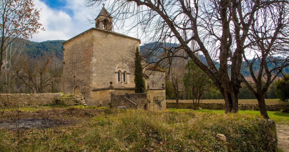
Malaucène
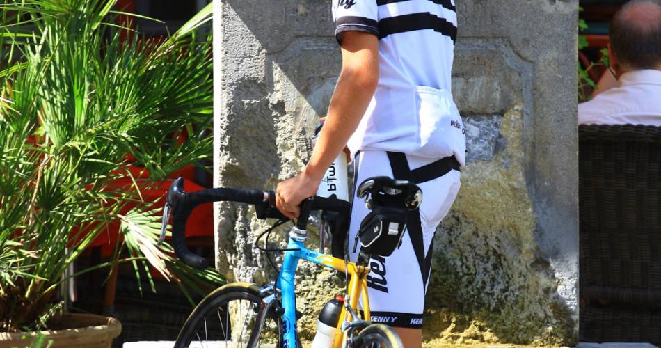
Cycling: Ascent of Mont-Ventoux from Malaucène
Tourist service in Malaucène :
These 21 kilometres consist of an uneven ascent, 1535 metres of elevation, an average slope of 7.3% with short sections reaching nearly 13%. The circuit is best suited to well-practiced cyclists. Available from mid-May to mid-November.- From Malaucène to the Les Ramayettes Chalet in the forest
This section does not present any particular difficulty except for one kilometre with a 9-10% slope. The ascent changes in forest, staring smoothly after Malaucène, with a steeper passage from the 2nd kilometre, and easing again 3 kilometres higher.
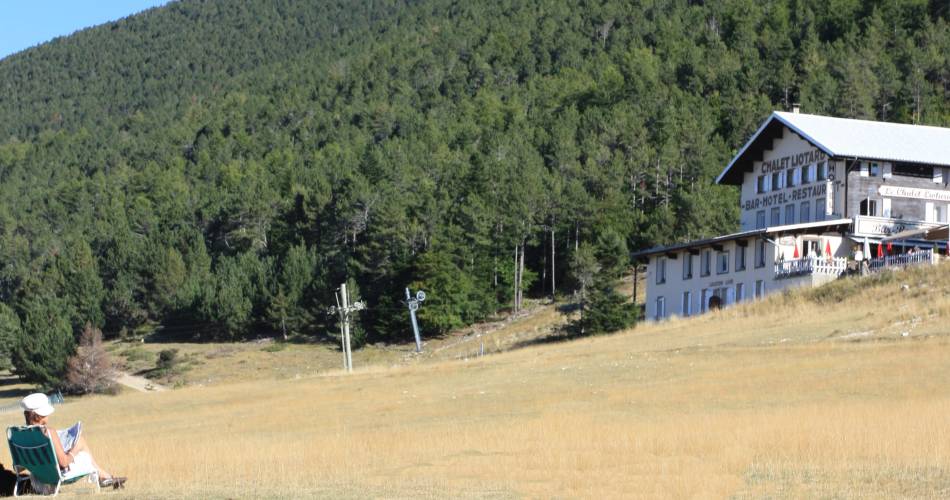
- From Chalet Les Ramayettes to Chalet Liotard
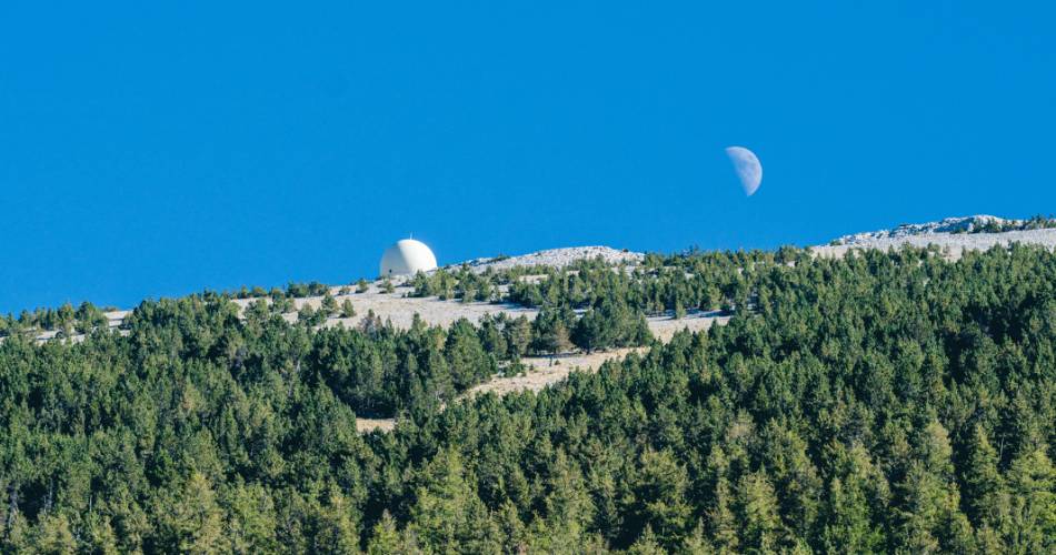
This second part is the most difficult of the three, with more than 3 arduous kilometres that follow each other without ever showing any respite. The slope increases suddenly at kilometre 10 and remains strong until kilometre 13.5, just before the arrival at the Chalet Liotard. The following section is easier and even has a few meters on the flat, letting you gather your strength before the climb to the summit. After leaving the forest the scenery transforms into the typical lunar landscape of Mont-Ventoux.
- From Chalet Liotard to the summit
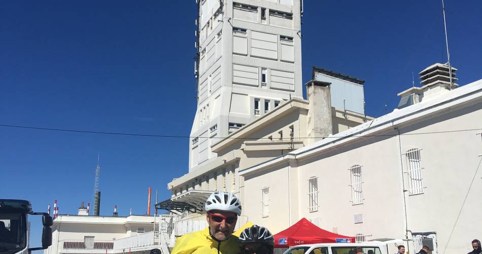
The final path to the summit. The climb begins again suddenly after passing the chalet, reaching a 10% slope for nearly a whole kilometre, then easing for a moment before an irregular but relatively steep slope up to the summit.
On the northern face of the mountain, you can enjoy the superb panoramas of the Provençale Baronnies and the Alps.
Practical Information:
Scaling the Giant of Provence by bike requires preparation. Train before your departure, make sure you are in peak physical condition, equip yourself with a suitable road bike, and check the weather forecast.
Most accidents occur during the descent, so be careful and control your speed.
Water points on the route:
- Source du Groseau 1.7 km from the Tourist Information Office of Malaucène on the D974
- Mont Serein station
There are picnic areas and rubbish bins located throughout the route. Please dispose of your waste properly and do not litter.

Equipment
- Picnic area
- Car park
- Charging stations for electric vehicles
- Charging station for 2 electric wheels
- Free car park
Services
- Accommodation
- Restaurant
Dates and times
From 15/05 to 01/11 daily.
Duration: 0 h
Languages spoken
- French
Prices
Free access.
Contact
Cycling: Ascent of Mont-Ventoux from MalaucèneD974
84340 Malaucène
E-Mail : Afficher le mail malaucene@ventouxprovence.fr
Coordinates
Longitude : 5.133835Latitude : 44.173172
> Getting there by public transport
Nearby
-
1
Chez Monique - Le P'tit Chalet
Rental accommodation
-
2
Clos Saint Michel Resort & Spa - Lodge Viognier
Rental accommodation
-
3
Lis Amouro "Mont-Ventoux"
Rental accommodation
-
4
Clos Saint Michel Resort & Spa - Lodge Chardonnay
Rental accommodation
-
5
La Ferme du Gros Noyer - Abricotine
Rental accommodation