Cavaillon
Voie romaine et Colline Saint Jacques
Tourist service in Cavaillon :
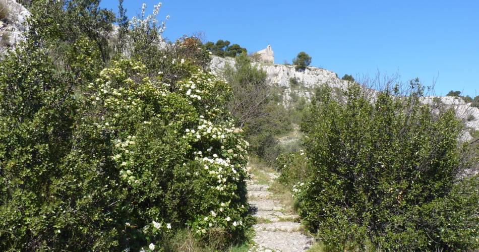
"1. From the summit (car park), at the wooden post take the walking path to the left of the car park. Enter the scrubland, for about 200m, down a wooden staircase to the right of the rocky bluff. We start the descent into the valley. (Degraded scrubland following the 2008 fire). 2. Slight ascent opposite (due north) joining the upper path leaving the valley, which we overlook. Moving due west, there are some wooden sleepers, with a gradual climb. 2 high voltage pylons can be seen - go to the second one and branch to the right. We take a wider descending path toward a forest of pines and holm oaks. 3. At the crossroads, turn left in the curve, at the 2nd bend turn left, 50m to the right uphill. Staying on the path, we rejoin the hill road. (Red markings) From the car park, cross the road to take the path through the woods to the Caves sign! 4. Continue the ascent, after a wooden staircase, on the right there is a staircase carved in stone. Orange wired handrail. Viewpoint over the Alpilles. Warning - cliff!!! We retrace our steps, continuing on the path, passing between the feet of the high voltage pylon, and descend due north. View over the Dentelles de Montmirail. The path ascends toward the hill on the right. Steep path for 30m, go left at the top and descend again. 2 markers on the path (Roman Road) furrows of the chariots in the limestone rock. 5. We continue the ascent, crossing the road to reach the car park."Contact
Voie romaine et Colline Saint JacquesParking de la Colline Saint Jacques
84300 Cavaillon
Coordinates
Longitude : 5.028695Latitude : 43.839379
> Getting there by public transport
Nearby
This page was produced with the help of theDestination Luberon Monts de Vaucluse