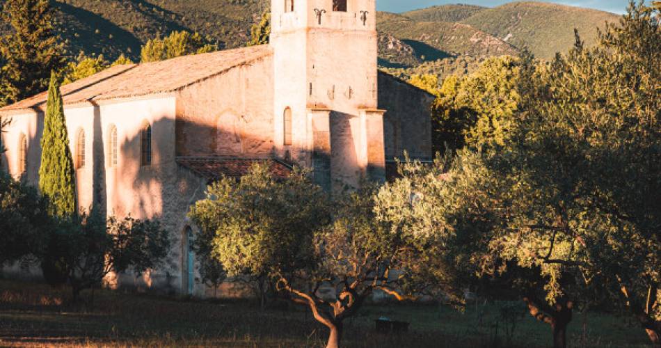
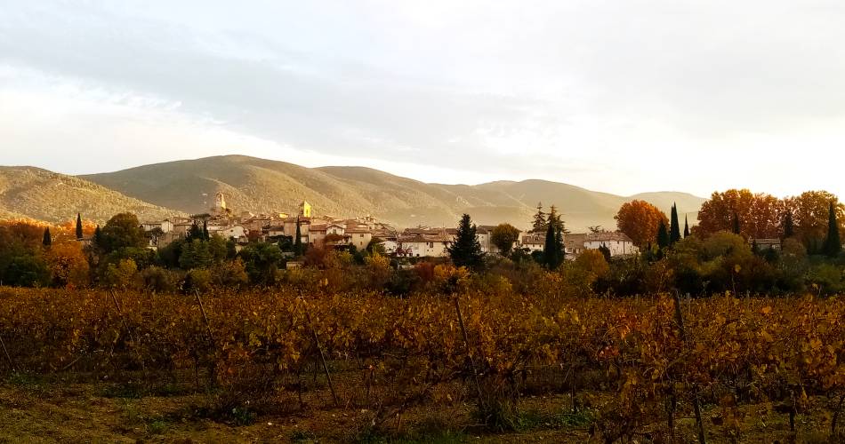
Lourmarin
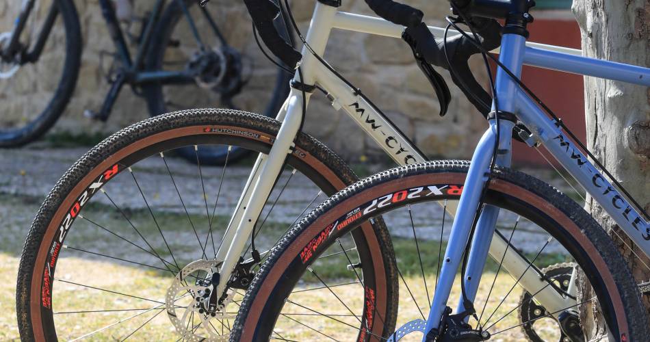
Gravel Itinerary n°27 - Craux and crests of the Petit Luberon
Tourist service in Lourmarin :
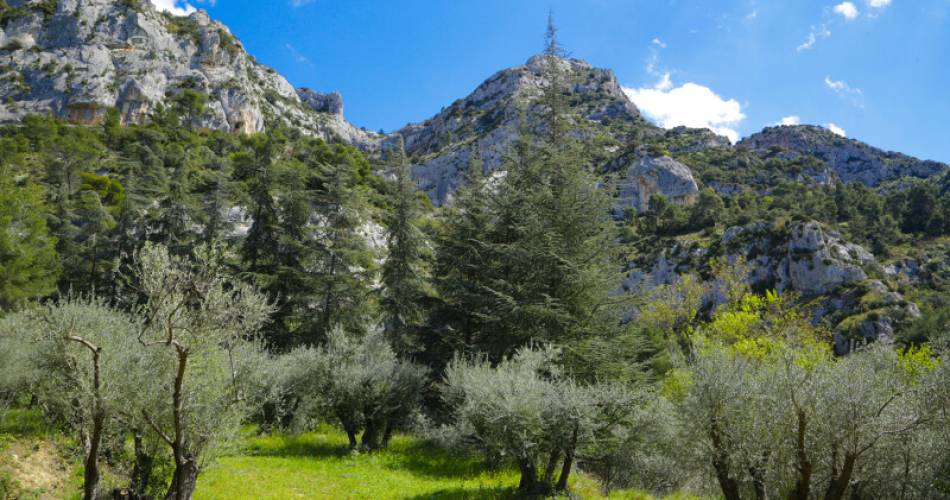
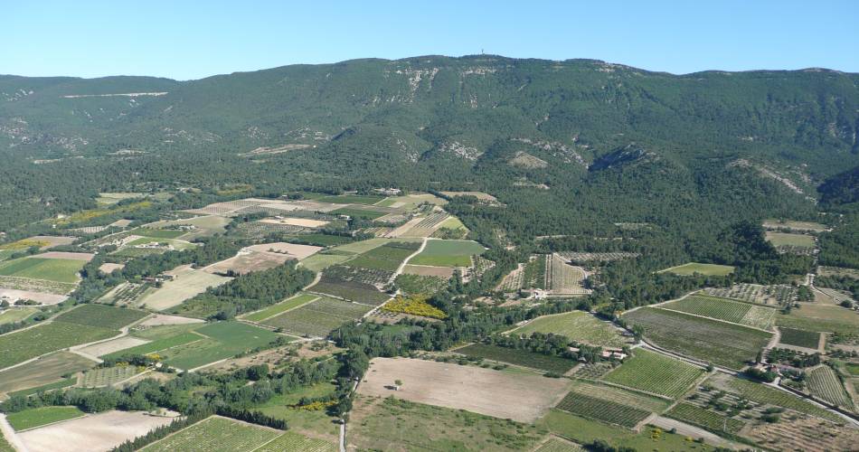
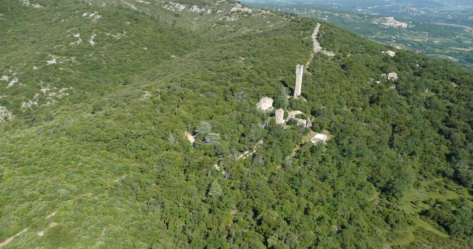
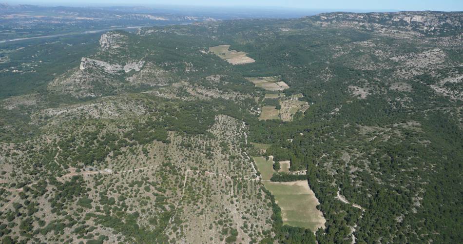
This rather sporty itinerary takes you through the Petit Luberon on a variety of paths and tracks. You'll pass through the soothing Cedar Forest. Beautiful panoramas await you on this route!
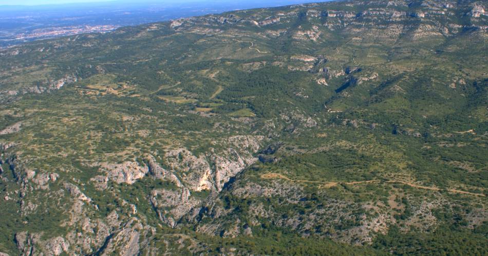
From Lourmarin, the first 19 kilometers of the route follow the signposted "Autour du Luberon à vélo" (Around the Luberon by bike), in a succession of switchbacks on small, more or less rough roads, at the foot of the Petit Luberon's southern face. After Mérindol, the route climbs into the massif on the small Font-de-l'Orme road, then connects with the stony tracks that cross the Saint-Phalez and Mayorques chalky areas halfway up the slope. After a short descent, the route joins the paved Trou du Rat trail. From here, the route heads due south down the track, crossing 5 hairpins before escaping eastwards on the Chemin des Mayorques track. Below La Roquette, the route more or less follows the Union irrigation canal to Vidauque (a path with a few narrow passages). Here, the climb is brutal, even though it's on a paved track; 5 km at an average gradient of 8%! The rest of the ascent is gentler and finally leads to the summit ridges. After 9 km on a very quiet, almost flat forest track, the descent is made first on the access road to the Forêt des cèdres du Petit Luberon, then on the Val du Lou track, which has a downhill section with a 10% gradient for 2 km (good brakes a must!). The final stretch takes the road to Lourmarin, which is quite busy but quickly swallowed up as it flows smoothly and descends slightly all the way.

Dates and times
All year round daily.
Duration: 0 h
Languages spoken
- French
Prices
Free access.
Contact
Gravel Itinerary n°27 - Craux and crests of the Petit Luberon84160 Lourmarin
E-Mail :
Afficher le mail
info@veloloisirprovence.com
Coordinates
Longitude : 5.369224Latitude : 43.767016
> Getting there by public transport
Nearby
This page was produced with the help of theVélo Loisir Provence