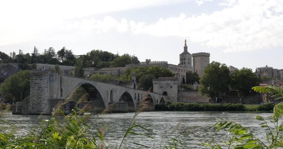
Villeneuve-lez-Avignon
D'une Rive à l'autre
Route
Difficulty
Intermediate
Duration
5h
Distance
20km
Positive elevation gain
83 meters
Negative elevation gain
84 meters
Altitude
Min. 16 meters
Max. 31 meters
- circuit
- variante
- liaison
Departure / Arrival
Place Charles David / Place Charles David
Parking
Place Charles David
profil altimétrique
Tourist service in Villeneuve-lez-Avignon :
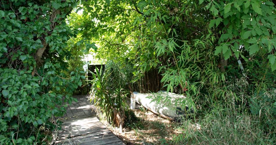
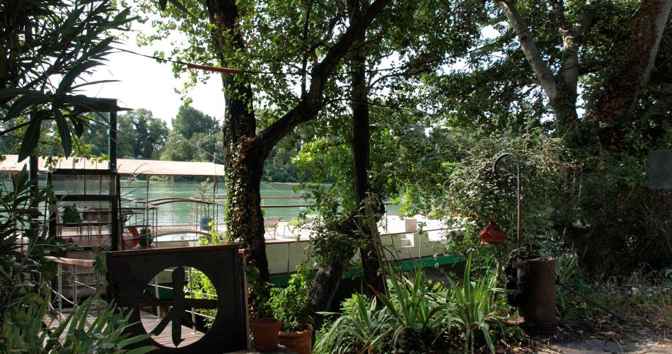
Stroll along the banks of the Rhone canal and the paths of the Barthelasse IslandGo to the route
public transportation
recommended parking
Place Charles David
road access
Go to the Villeneuve les Avignon town centre and the car park at place Charles David
To note
Choose to do this hike in spring
 If you want to report a problem on your hike (marking, maintenance, danger...), let us know on Suricate: sentinels.sportsdenature.fr
Access to the massifs
Respect the regulations preserving protected natural areas – find out about restrictions to accessing the massifs during fire risk periods, from 15 June to 15 September.
Before heading out, check the website
Respect the regulations preserving protected natural areas – find out about restrictions to accessing the massifs during fire risk periods, from 15 June to 15 September.
Before heading out, check the website
In brief
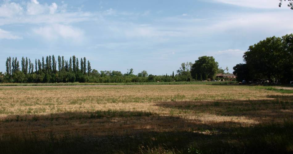
- Ways
- Small tarmac roads
- By the river
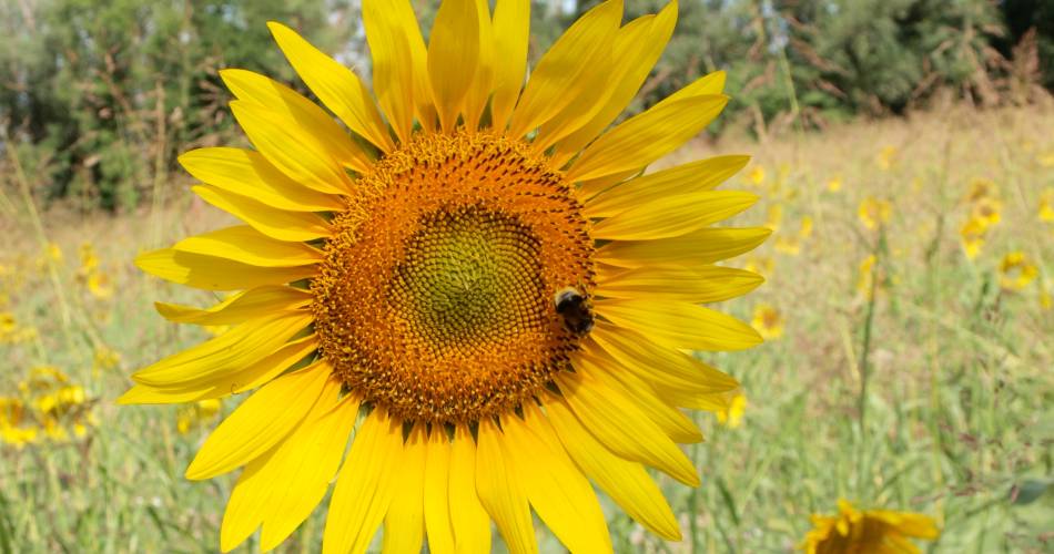
- Flowering orchards
Contact
Office de Tourisme du Grand AvignonTel : View number +33(0)4 90 03 70 60