Savoillans
Long Distance Mountain Bike Trail, Stage 1 - From Savoillans to Malaucène
Tourist service in Savoillans :
This is the first stage of Vaucluse’s Long Distance Mountain Bike Trail. An information board in the car park sets out the general route and provides practical information.
An information board in the car park sets out the general route and provides practical information.
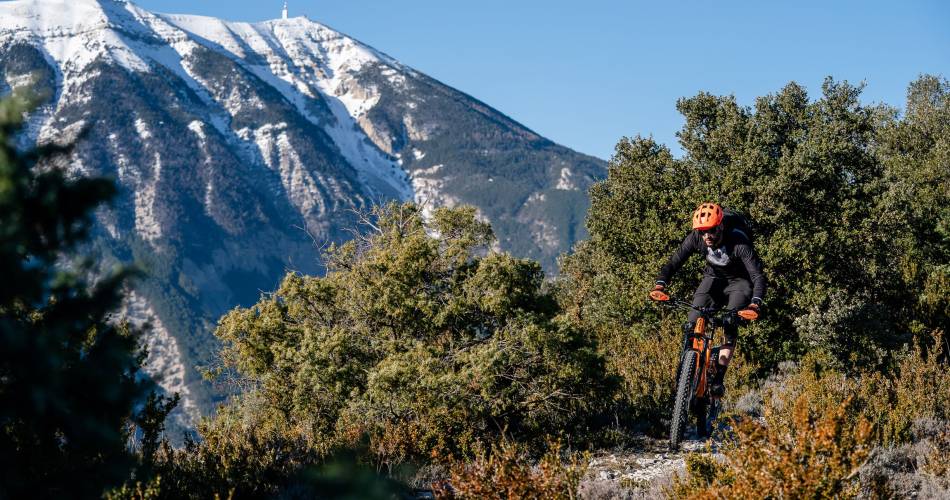
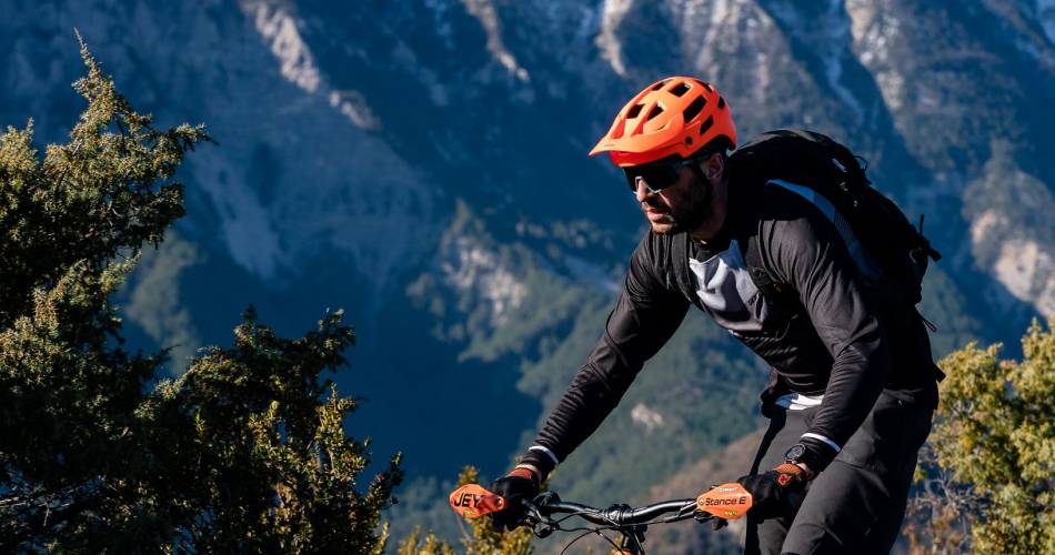
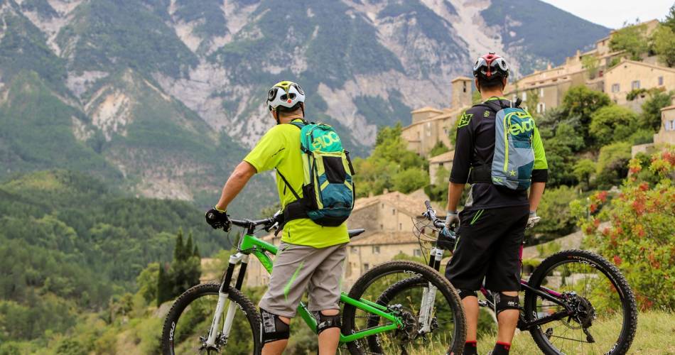
And it’s quite an introduction: after a difficult climb up a steep path, with a few small jumps, you’ll be rewarded with a superb stretch along the Rocher du Charles ridge and breathtaking views of Mont Ventoux with its steep and secretive North face. Once through the picturesque village of Brantes, you’ll climb the Col de Fontaube (635 m), passing one-hundred-year-old oak trees en route. A challenging descent on loose gravel, a typical feature of the region, will bring you to Saint Léger du Ventoux and the Toulourenc valley.
From the Toulourenc valley, you’ll climb more than 600 m up Mont Ventoux, firstly along a path and then a wide track where you’ll have the chance to enjoy the unusual panoramic view of this remote valley. At the col du Comte (996 m), you'll embark upon a lengthy, twisting but beautiful descent, along a challenging trail, until you reach the foot of the Giant of Provence. Between Beaumont and Malaucène, you’ll wend your way through a landscape of orchards, before a well-deserved and refreshing stop at the source of the river Groeau, just before Malaucène.

Contact
Long Distance Mountain Bike Trail, Stage 1 - From Savoillans to MalaucèneDépart/Parking : parking de la Mairie de Savoillans (possibilité de stationner gratuitement votre véhicule pendant toute la durée de votre Grande Traversée du Vaucluse à VTT)
84390 Savoillans