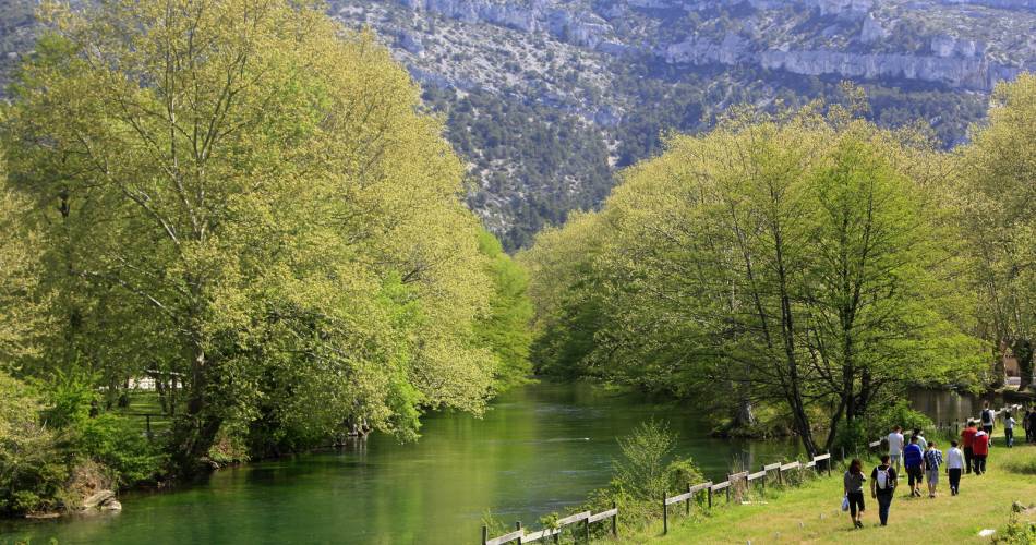
Fontaine-de-Vaucluse
The Mourre Fleuri
Route
Loop
Difficulty
Very easy
Duration
2h
Distance
6km
Positive elevation gain
308 meters
Negative elevation gain
309 meters
Altitude
Min. 79 meters
Max. 341 meters
- circuit
- variante
- liaison
Departure / Arrival
Fontaine-de-Vaucluse / Fontaine-de-Vaucluse
Parking
D25 ou D24
profil altimétrique
Downloads
Traces GPX
Tourist service in Fontaine-de-Vaucluse :
Walk the old paths between Saumane and Vaucluse, giving access to terraces formerly cultivated by local factory workers.Go to the route
public transportation
Closest Train Station : Isle sur la Sorgue.
More information
Then Bus line 11
More information about the Bus network service
More information
Then Bus line 11
More information about the Bus network service
recommended parking
D25 ou D24
road access
Hike to Fontaine-de-Vaucluse, 7km west of Isle-sur-la-Sorgue via the D938 and D25
To note
- Choose to do this itinerary in spring (avoid hot days).
- Plan to have good walking shoes
- Plan to take water, a hat and a camera to enjoy the landscapes
 If you want to report a problem on your hike (marking, maintenance, danger...), let us know on Suricate: sentinels.sportsdenature.fr
Access to the massifs
Respect the regulations preserving protected natural areas – find out about restrictions to accessing the massifs during fire risk periods, from 15 June to 15 September.
Before heading out, check the website
Respect the regulations preserving protected natural areas – find out about restrictions to accessing the massifs during fire risk periods, from 15 June to 15 September.
Before heading out, check the website
In brief
- Discovery of dry stone structures
- Viewing point of the Sorgue
- Discovery of the resurgence of the Sorgue
Downloads
Contact
Fédération Française de Randonnée de VaucluseTel : View number 04 28 70 27 29
Website : https://boutique.ffrandonnee.fr/topoguides