Mondragon
R05 “Les Vachères” trail in Mondragon
Route
Loop
Difficulty
Difficult
Duration
5h
Distance
17km
Positive elevation gain
390 meters
Negative elevation gain
391 meters
Altitude
Min. 42 meters
Max. 177 meters
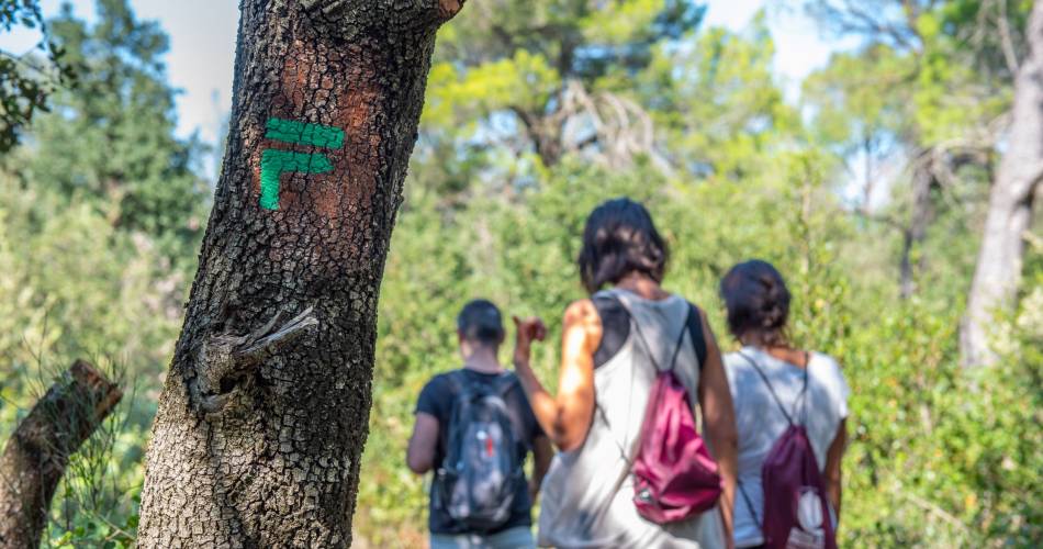
- circuit
- variante
- liaison
Departure / Arrival
Parking at the Stadium Léon Fauritte / Stade Léon Fauritte car park
Parking
Sadium Léon Fauritte Parkplace
profil altimétrique
Downloads
Traces GPX
Tourist service in Mondragon :
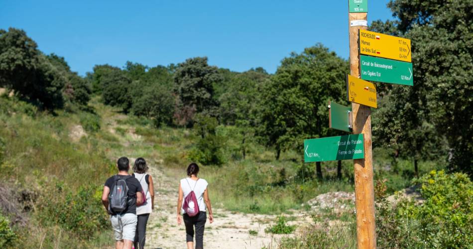
After the last houses of Mondragon, follow an often sandy path for a delightful walk that alternates between woodland and the fragrant hillside garrigue.
Wide expanses of well-known vineyards, delightful little olive groves nestled in combes, and a long, shady valley of untamed nature, silent and mysterious.
Go to the route
public transportation
Trainstation at Bollène - La Croisière.
Bus Zou line 1 : Orange - Bollène
More information about the Bus Network service on
Bus Zou line 1 : Orange - Bollène
More information about the Bus Network service on
recommended parking
Sadium Léon Fauritte Parkplace
road access
Take the nationale 7. Stop at Mondragon.A7 motorway exit 19
To note
- Please be aware that the circuit can be shut off due to heavy rain.
- Difficult circuit, with major elevation.
- When hunting season is open, please contact local hunting associations to find out more about their plans.
 If you want to report a problem on your hike (marking, maintenance, danger...), let us know on Suricate: sentinels.sportsdenature.fr
Access to the massifs
Respect the regulations preserving protected natural areas – find out about restrictions to accessing the massifs during fire risk periods, from 15 June to 15 September.
Before heading out, check the website
Respect the regulations preserving protected natural areas – find out about restrictions to accessing the massifs during fire risk periods, from 15 June to 15 September.
Before heading out, check the website
In brief
- Discovery of wild nature
- Walk through vineyards.
- Discovery of particular fauna
Downloads
Contact
Tel : View number 0490303683
E-Mail : contact@provencecoterhone-tourisme.com
Website : http://www.provencecoterhone-tourisme.com/
Facebook : https://www.facebook.com/provencecoterhonetourisme/