Caderousse
R07 Caderousse champêtre
Route
Difficulty
Very easy
Duration
2h
Distance
8km
Positive elevation gain
8 meters
Negative elevation gain
8 meters
Altitude
Min. 28 meters
Max. 33 meters
- circuit
- variante
- liaison
Departure / Arrival
/
Parking
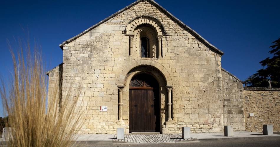
Saint-Martin chapel car park
profil altimétrique

Tourist service in Caderousse :
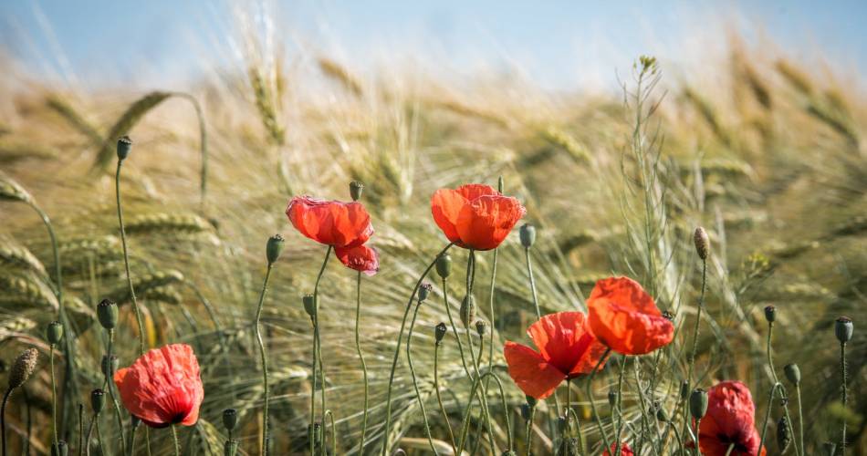
Hike that enables you to discover the lesser known heritage of Caderousse. All while hiking along country paths, gradually glimpse the St Joseph oratory, the large dyke, the Boerde, the seigniorial boundary marker of 1302. It’s a hike to prefer doing in the Spring and Autumn, because only the Northern part is in the shade.Go to the route
public transportation
Use the Zou network for taking the bus: line 23 Sorgues – Orange, Caderousse stop.
>> More information
>> More information
recommended parking
Saint-Martin chapel car park
road access
From the A7, join Orange Centre (exit 21) then take the D17 towards Caderousse.
To note
In summer, choose to do this hike at the coolest times of the day, as there isn’t much shade.
 If you want to report a problem on your hike (marking, maintenance, danger...), let us know on Suricate: sentinels.sportsdenature.fr
Access to the massifs
Respect the regulations preserving protected natural areas – find out about restrictions to accessing the massifs during fire risk periods, from 15 June to 15 September.
Before heading out, check the website
Respect the regulations preserving protected natural areas – find out about restrictions to accessing the massifs during fire risk periods, from 15 June to 15 September.
Before heading out, check the website
In brief
- A bucolic loop that provides many views, from the plain to the heights of the surrounding massifs.
- The path crosses the Caderousse countryside between a dike and chapel.
Contact
Office de Tourisme du Pays Réuni d'OrangeTel : View number 04 90 34 70 88
E-Mail : accueil@paysdorange.com
Website : https://www.poptourisme.fr/