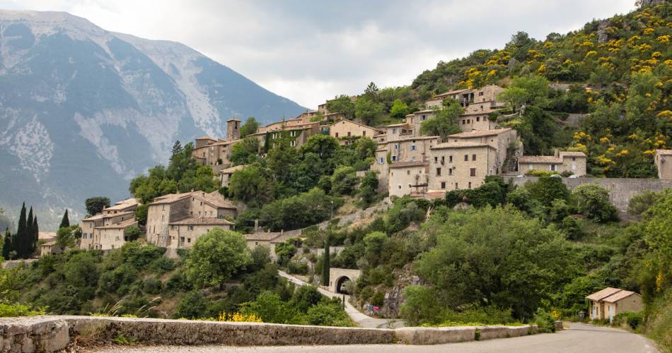
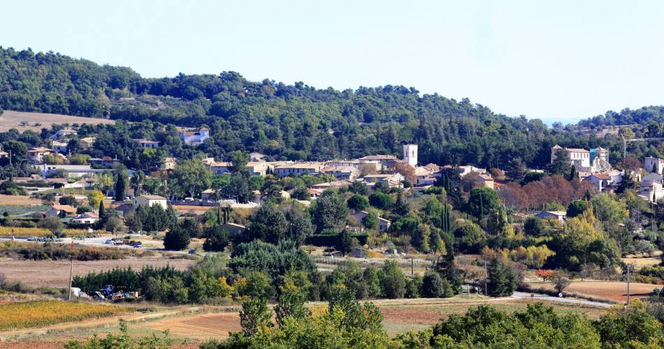
Brantes
GR® 9: Brantes to Mirabeau
Route
Crossing
Difficulty
Intermediate
Duration
10d
Distance
146km
Positive elevation gain
0 meters
Negative elevation gain
0 meters
Altitude
Min. 0 meters
Max. 0 meters
- circuit
- variante
- liaison
Departure / Arrival
Brantes / Mirabeau
Parking
Brantes
profil altimétrique
Tourist service in Brantes :
A 10-day or 6-day hiking tour, depending on how athletic you are (approx. 6 miles per day or 12 miles per day). A national hiking path (GR®) across the iconic massifs of Vaucluse, from north to south: Mont Ventoux and the Vaucluse and Luberon mountains.
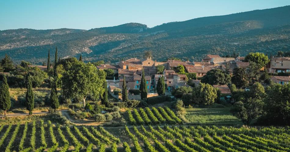
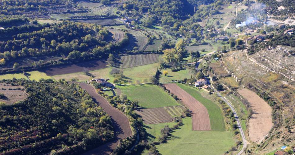
From the steep-sided Toulourenc valley to the summit of Mont Ventoux, the Vaucluse mountains to the Luberon massif, your route crosses the Vaucluse, taking in many emblematic landmarks. These nearly 100 miles of footpaths are a distillation of Provence, passing through vineyards and lavender fields, woodlands and valleys dotted with bories (typical dry-stone huts), potholes and truffles, all against a backdrop of “perched” villages in a grandiose setting.
Go to the route
public transportation
TER train station in Carpentras
Zou bus line 12: Carpentras - Sault
Zou bus line 15: Avignon - Apt
>> More information about the network and times
Zou bus line 12: Carpentras - Sault
Zou bus line 15: Avignon - Apt
>> More information about the network and times
recommended parking
Brantes
road access
From the A7 Exit Bollène or Orange, towards Nyons – Vaison-la-Romaine.
To note
- Follow the GR® signposting
- Be careful about the weather on the summit of the Ventoux
- Choose autumn or spring to do this hiking tour.
- Prepare for your hike.
 If you want to report a problem on your hike (marking, maintenance, danger...), let us know on Suricate: sentinels.sportsdenature.fr
Access to the massifs
Respect the regulations preserving protected natural areas – find out about restrictions to accessing the massifs during fire risk periods, from 15 June to 15 September.
Before heading out, check the website
Respect the regulations preserving protected natural areas – find out about restrictions to accessing the massifs during fire risk periods, from 15 June to 15 September.
Before heading out, check the website
In brief
- From the Jura to the Mediterranean, from Saint-Amour to the Gulf of Saint-Tropez
- Described from north to south, between Brantes and Mirabeau
- Climbing the Ventoux
- Crossing the Luberon massif by the summits
- To cover in 6 to 10 days
Contact
Fédération Française de Randonnée de VaucluseTel : View number 04 28 70 27 29
Website : https://boutique.ffrandonnee.fr/topoguides