Viens
GR® 6: Viens to Mérindol
Route
Crossing
Difficulty
Intermediate
Duration
7d
Distance
97km
Positive elevation gain
2947 meters
Negative elevation gain
3242 meters
Altitude
Min. 91 meters
Max. 704 meters
- circuit
- variante
- liaison
Departure / Arrival
Viens / Mérindol
Parking
Pont du Grand Vallat car park
profil altimétrique
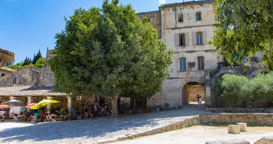
Tourist service in Viens :
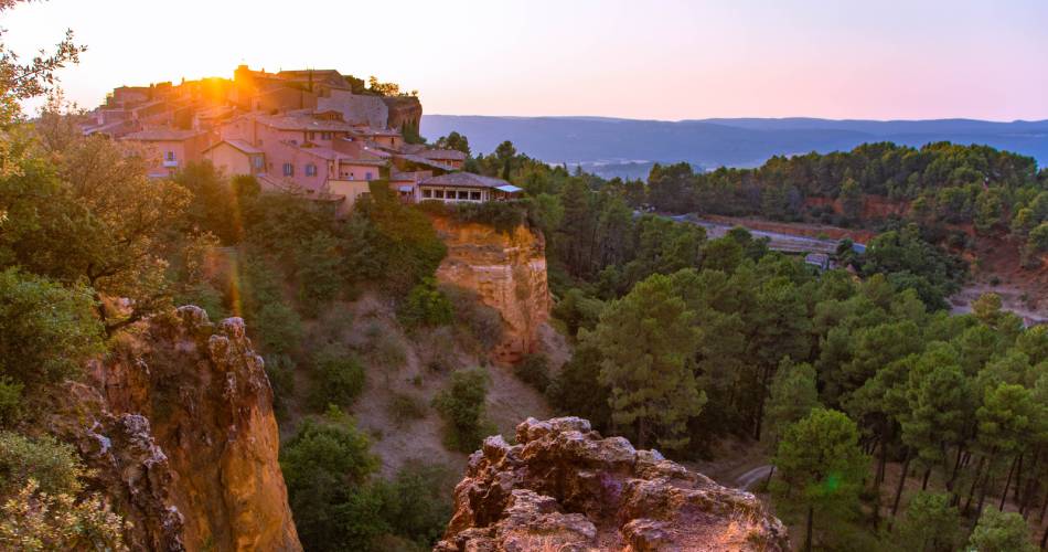
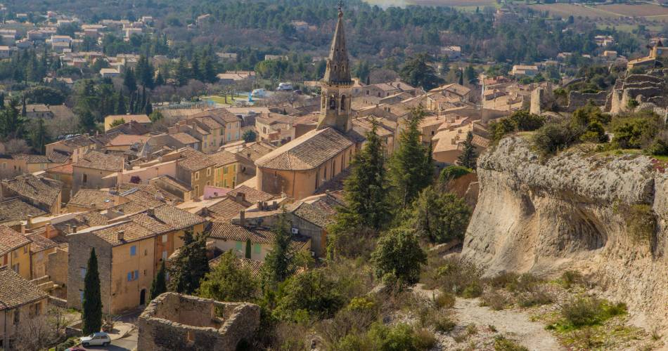
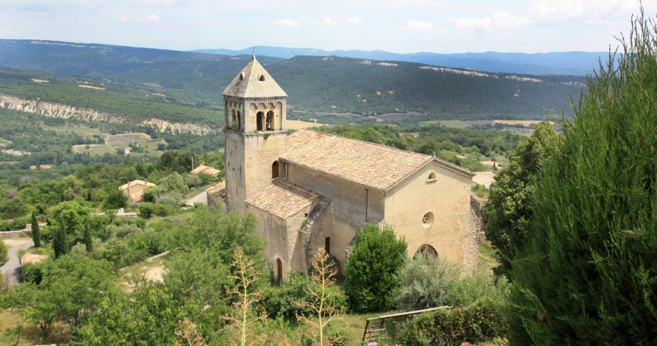
A 7-day or 4-day hiking tour, depending on how athletic you are (approx. 6 miles per day or 12 miles per day). Set off to discover the Vaucluse mountains and their “perched” villages, before crossing Petit Luberon.
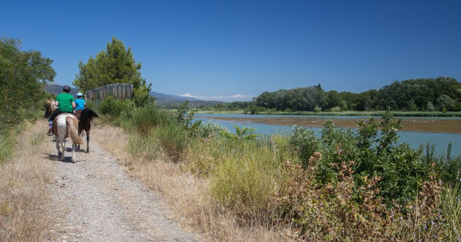
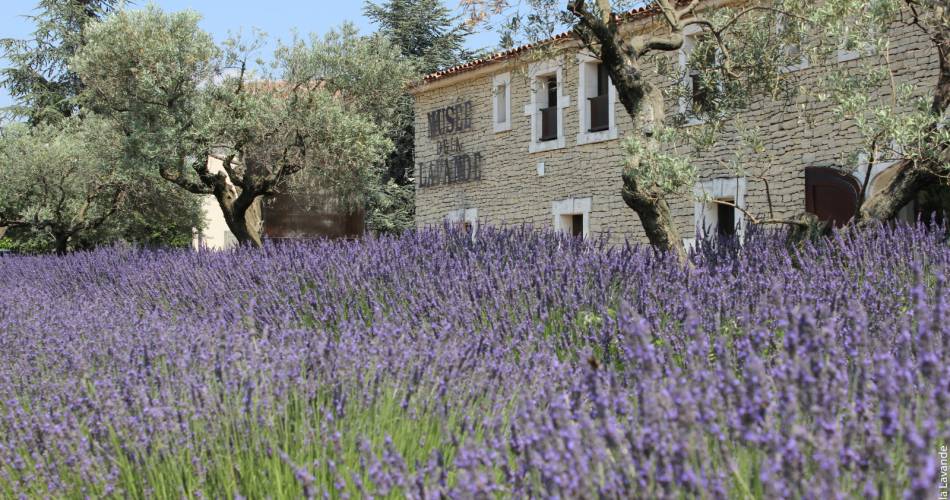
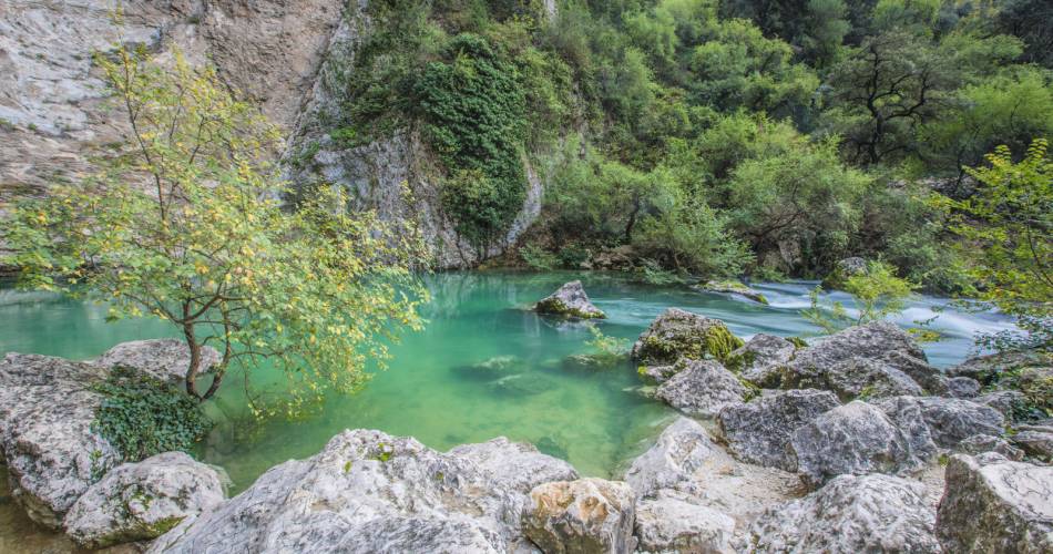
Hike across the plateau of the Vaucluse mountains, between Mont Ventoux and Luberon, crossing ridges and valleys along the way, to discover an ochre landscape dotted with the dry-stone structures emblematic of the region. Among Provençal vineyards and farms, cross the Apt plain before climbing the Petit Luberon for panoramic views over the banks of the Durance and the surrounding massifs.
Go to the route
public transportation
Train station in Avignon
Zou bus line 15: Avignon - Apt
Zou bus line 16: Apt - Sault
TER train station in Cavaillon
Zou bus line 17: Cavaillon - Coustellet or
Zou bus line 8: Cavaillon - Pertuis
>> More information about the network and times
Zou bus line 15: Avignon - Apt
Zou bus line 16: Apt - Sault
TER train station in Cavaillon
Zou bus line 17: Cavaillon - Coustellet or
Zou bus line 8: Cavaillon - Pertuis
>> More information about the network and times
recommended parking
Pont du Grand Vallat car park
road access
From the A7 Exit 24 Avignon Sud, towards Viens – Apt.
To note
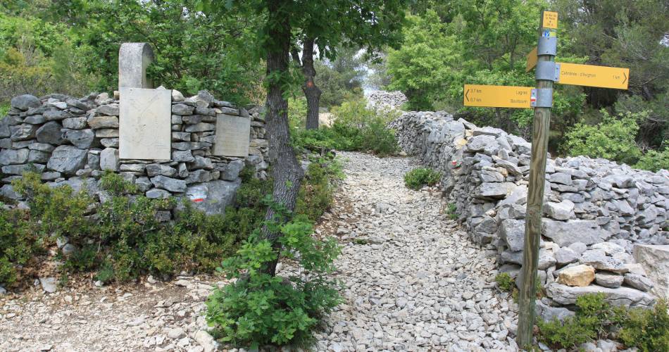
- Follow the GR® signposting
- Can be hiked in any season
- Access to the Provencal Colorado is strictly regulated, booking is mandatory on the dedicated site for visits from 9am to 1pm, 1pm to 7pm, free access dependent on available places.
 If you want to report a problem on your hike (marking, maintenance, danger...), let us know on Suricate: sentinels.sportsdenature.fr
Access to the massifs
Respect the regulations preserving protected natural areas – find out about restrictions to accessing the massifs during fire risk periods, from 15 June to 15 September.
Before heading out, check the website
Respect the regulations preserving protected natural areas – find out about restrictions to accessing the massifs during fire risk periods, from 15 June to 15 September.
Before heading out, check the website
In brief
- Between Alpes provençales and Arcachon
- At the heart of the Luberon Regional Nature Park
- Wide variety of landscapes, ochre earth, hill-top villages, Calavon plain, crossing the Petit Luberon
- Covered in 4 to 7 days, from east to west
Contact
Fédération Française de Randonnée de VaucluseTel : View number 04 28 70 27 29
Website : https://boutique.ffrandonnee.fr/topoguides