Malaucène
Long Distance Mountain Bike Trail, Stage 2 – From Malaucène to Bedoin
Tourist service in Malaucène :
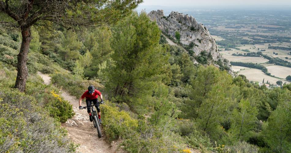
After Malaucène, a cycling town and the northern gateway to Mont Ventoux, you will head towards the Dentelles de Montmirail region.
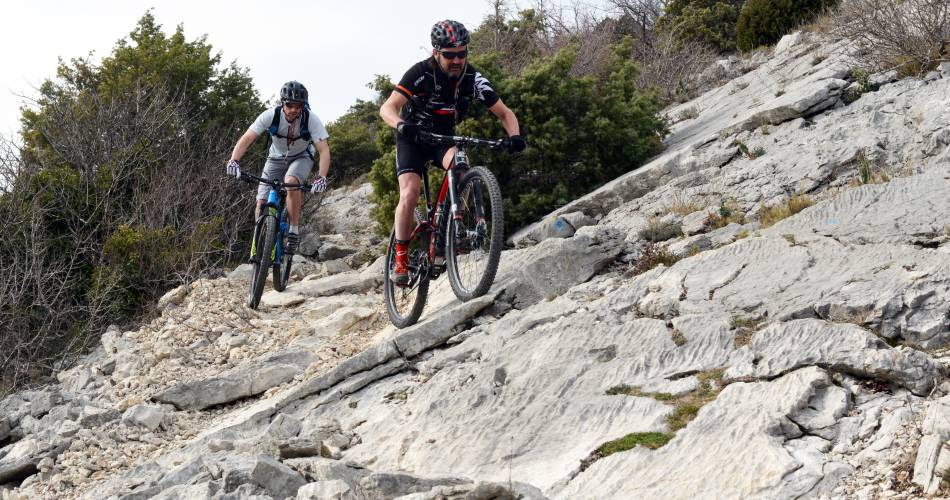
After a long climb up the cirque and the Crête du Saint Amand (615 m), you’ll be rewarded with a clear view of the famous chalky ridges of the Dentelles de Montmirail. The remainder of the trail to Lafare is downhill, through the village of Suzette, and a landscape of pine trees and vineyards. The section after Lafare, which is very hilly, is one of the most physically demanding on this trail. You’ll pass through a succession of hilltop villages, such as La Roque-Alric and Le Barroux, towards Le Lac du Paty and its surrounding area, following a series of beautiful single-track paths. However, during the next section – a pretty trail leading to la Madeleine mountain pass (448 m) – you’ll be able to catch your breath a little. Next, you pass through the amazing ochre landscapes of Font du Loup, before wending your way gently back to Bedoin, the southern gateway to the mythical Mont Ventoux.

Contact
Long Distance Mountain Bike Trail, Stage 2 – From Malaucène to Bedoin84340 Malaucène
Tel :
View number
04 90 63 00 78
E-Mail : info@provenceguide.com
Website : http://www.provence-a-velo.fr
E-Mail : info@provenceguide.com
Website : http://www.provence-a-velo.fr